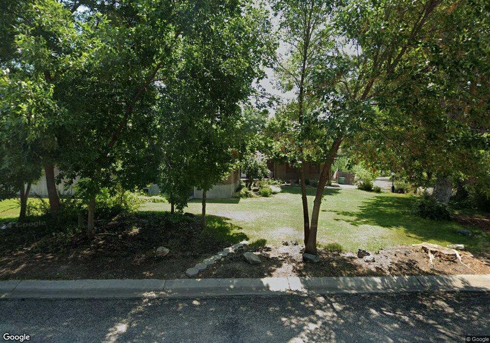
1218 Cliffside Dr Logan, UT 84321
Wilson NeighborhoodEstimated Value: $565,000 - $612,000
Studio
--
Bath
2,255
Sq Ft
$260/Sq Ft
Est. Value
About This Home
This home is located at 1218 Cliffside Dr, Logan, UT 84321 and is currently estimated at $585,174, approximately $259 per square foot. 1218 Cliffside Dr is a home with nearby schools including Wilson School, Mount Logan Middle School, and Logan High School.
Create a Home Valuation Report for This Property
The Home Valuation Report is an in-depth analysis detailing your home's value as well as a comparison with similar homes in the area
Home Values in the Area
Average Home Value in this Area
Tax History
| Year | Tax Paid | Tax Assessment Tax Assessment Total Assessment is a certain percentage of the fair market value that is determined by local assessors to be the total taxable value of land and additions on the property. | Land | Improvement |
|---|---|---|---|---|
| 2025 | $2,664 | $344,525 | $0 | $0 |
| 2024 | $2,734 | $342,500 | $0 | $0 |
| 2023 | $2,837 | $338,745 | $0 | $0 |
| 2022 | $2,615 | $291,580 | $0 | $0 |
| 2021 | $2,468 | $425,170 | $75,250 | $349,920 |
| 2020 | $2,366 | $366,850 | $75,250 | $291,600 |
| 2019 | $2,076 | $307,851 | $75,250 | $232,601 |
| 2018 | $2,011 | $272,370 | $75,250 | $197,120 |
| 2017 | $1,855 | $132,825 | $0 | $0 |
| 2016 | $1,923 | $132,825 | $0 | $0 |
| 2015 | $1,925 | $132,825 | $0 | $0 |
| 2014 | $1,560 | $119,055 | $0 | $0 |
| 2013 | -- | $119,055 | $0 | $0 |
Source: Public Records
Map
Nearby Homes
- 1374 E 260 N
- 128 S 1170 E
- 1387 E 260 N
- 1034 Thrushwood Dr
- 1147 Eastridge Dr
- 1045 Fox Farm Rd
- 74 Canterbury Cir
- 1164 E Mountain Rd
- 147 Winding Way Unit 50
- 28 River Pointe Dr
- 1535 Sumac Dr
- 1647 E Quail Canyon Dr
- 70 River Pointe Dr
- 2758 N Canyon Cove Dr
- 2738 N Canyon Cove Dr
- 684 Apple Dr
- 45 River Circle Dr
- 664 E Center St
- 1374 Maple Dr
- 622 Canyon Rd
Your Personal Tour Guide
Ask me questions while you tour the home.