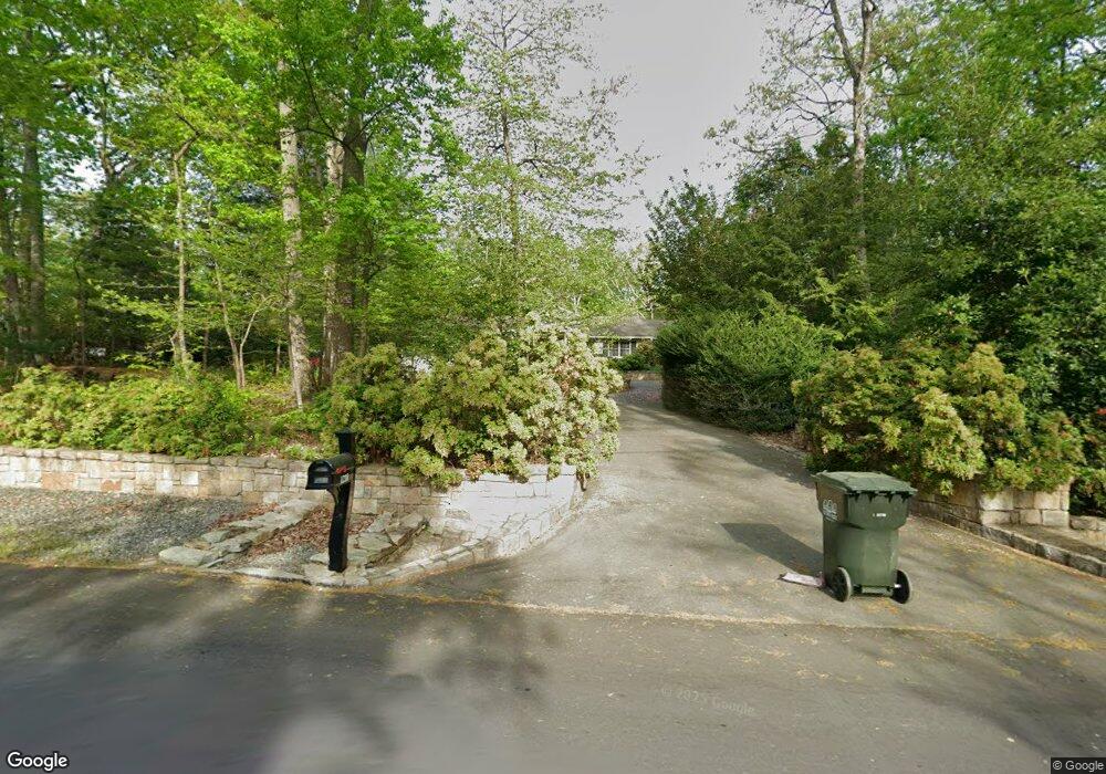
1218 Daleview Dr McLean, VA 22102
Greenway Heights NeighborhoodEstimated Value: $1,749,000 - $2,617,000
6
Beds
3
Baths
3,918
Sq Ft
$530/Sq Ft
Est. Value
About This Home
This home is located at 1218 Daleview Dr, McLean, VA 22102 and is currently estimated at $2,077,313, approximately $530 per square foot. 1218 Daleview Dr is a home located in Fairfax County with nearby schools including Spring Hill Elementary School, Cooper Middle School, and Langley High School.
Ownership History
Date
Name
Owned For
Owner Type
Purchase Details
Closed on
Sep 19, 2023
Sold by
Lundsten David J and Lundsten Lenka E
Bought by
Lundsten Family Trust and Lundsten
Current Estimated Value
Purchase Details
Closed on
Jan 9, 1997
Sold by
Burger Est Helen
Bought by
Lundsten David J and Lundsten Lenka E
Home Financials for this Owner
Home Financials are based on the most recent Mortgage that was taken out on this home.
Original Mortgage
$214,000
Interest Rate
7.46%
Mortgage Type
New Conventional
Create a Home Valuation Report for This Property
The Home Valuation Report is an in-depth analysis detailing your home's value as well as a comparison with similar homes in the area
Home Values in the Area
Average Home Value in this Area
Purchase History
| Date | Buyer | Sale Price | Title Company |
|---|---|---|---|
| Lundsten Family Trust | -- | None Listed On Document | |
| Lundsten David J | $392,500 | -- |
Source: Public Records
Mortgage History
| Date | Status | Borrower | Loan Amount |
|---|---|---|---|
| Previous Owner | Lundsten David J | $214,000 |
Source: Public Records
Tax History Compared to Growth
Tax History
| Year | Tax Paid | Tax Assessment Tax Assessment Total Assessment is a certain percentage of the fair market value that is determined by local assessors to be the total taxable value of land and additions on the property. | Land | Improvement |
|---|---|---|---|---|
| 2025 | $19,499 | $1,650,390 | $986,000 | $664,390 |
| 2024 | $19,499 | $1,650,390 | $986,000 | $664,390 |
| 2023 | $17,351 | $1,506,800 | $971,000 | $535,800 |
| 2022 | $16,383 | $1,404,470 | $899,000 | $505,470 |
| 2021 | $14,757 | $1,233,310 | $782,000 | $451,310 |
| 2020 | $14,308 | $1,185,950 | $752,000 | $433,950 |
| 2019 | $14,272 | $1,182,930 | $752,000 | $430,930 |
| 2018 | $13,594 | $1,182,050 | $752,000 | $430,050 |
| 2017 | $13,782 | $1,164,040 | $752,000 | $412,040 |
| 2016 | $13,736 | $1,162,610 | $752,000 | $410,610 |
| 2015 | $13,762 | $1,208,230 | $752,000 | $456,230 |
| 2014 | $13,732 | $1,208,230 | $752,000 | $456,230 |
Source: Public Records
Map
Nearby Homes
- 1239 Daleview Dr
- 1175 Daleview Dr
- 8757 Brook Rd
- 1174 Old Tolson Mill Rd
- 8912 Gallant Green Dr
- 1033 Union Church Rd
- 8437 Sparger St
- 8355 Alvord St
- 8340 Springhaven Garden Ln
- Lot 2 Knolewood
- 8652 Belle Tree
- 1006 Kimberwicke Rd
- Lot 15 Knolewood
- 8426 Holly Leaf Dr
- 1339 Hawkin Rd
- 8407 Holly Leaf Dr
- 933 Bellview Rd
- 8520 Lewinsville Rd
- 9118 Cricklewood Ct
- 9420 Vernon Dr
- 1224 Daleview Dr
- 1210 Daleview Dr
- 1232 Daleview Dr
- 1200 Daleview Dr
- 1217 Daleview Dr
- 1225 Daleview Dr
- 1209 Daleview Dr
- 1233 Daleview Dr
- 1180 Daleview Dr
- 1201 Daleview Dr
- 1240 Daleview Dr
- 1207 Windrock Dr
- 1174 Daleview Dr
- 1205 Windrock Dr
- 1181 Daleview Dr
- 1243 Daleview Dr
- 8716 Brook Rd
- 1203 Windrock Dr
- 8720 Brook Rd
- 1168 Daleview Dr