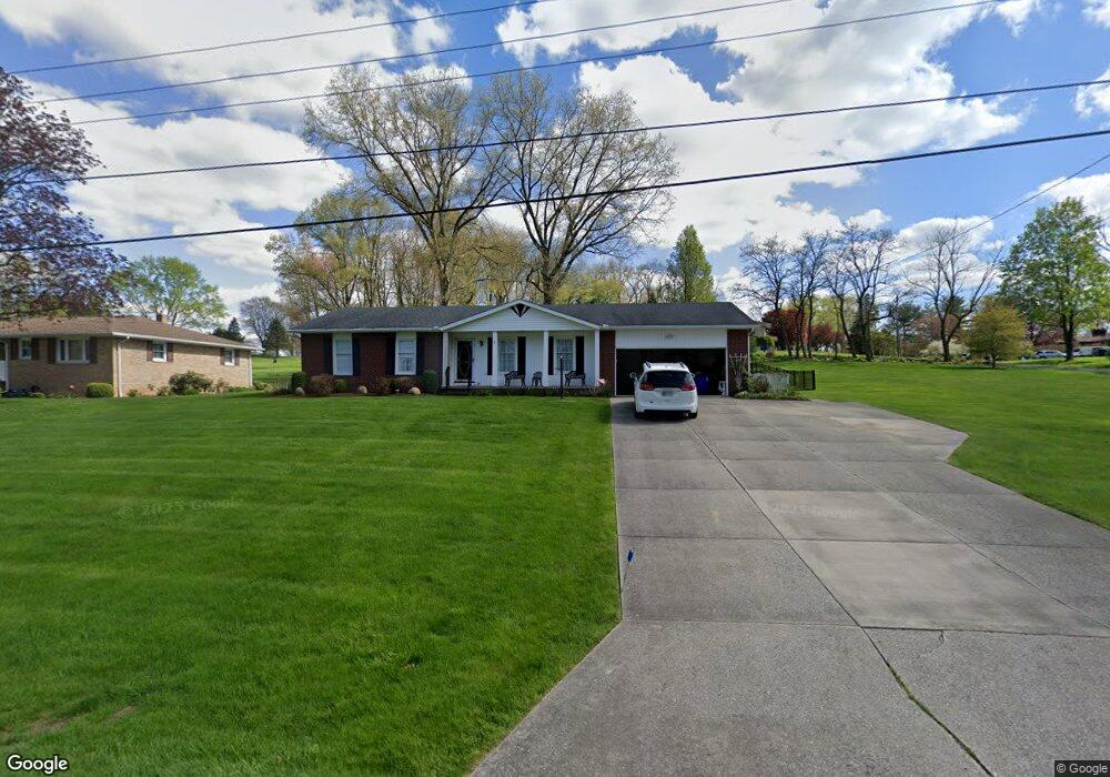
1218 Doralee Dr Mogadore, OH 44260
Estimated Value: $239,000 - $300,000
3
Beds
2
Baths
1,648
Sq Ft
$164/Sq Ft
Est. Value
About This Home
This home is located at 1218 Doralee Dr, Mogadore, OH 44260 and is currently estimated at $270,401, approximately $164 per square foot. 1218 Doralee Dr is a home located in Portage County with nearby schools including Suffield Elementary School, Field Middle School, and Field High School.
Ownership History
Date
Name
Owned For
Owner Type
Purchase Details
Closed on
Jan 29, 2024
Sold by
Bryner Harry Dale
Bought by
Scott Janice L
Current Estimated Value
Purchase Details
Closed on
Sep 3, 2008
Sold by
Lees Edmund J and Lees Marcia J
Bought by
Bryner Harry Dale and Bryner Patsy L
Purchase Details
Closed on
Jan 1, 1990
Bought by
Lees Edmund J
Create a Home Valuation Report for This Property
The Home Valuation Report is an in-depth analysis detailing your home's value as well as a comparison with similar homes in the area
Home Values in the Area
Average Home Value in this Area
Purchase History
| Date | Buyer | Sale Price | Title Company |
|---|---|---|---|
| Scott Janice L | $225,000 | Bennett Land Title | |
| Bryner Harry Dale | $166,150 | Lawyers Title | |
| Lees Edmund J | -- | -- |
Source: Public Records
Tax History Compared to Growth
Tax History
| Year | Tax Paid | Tax Assessment Tax Assessment Total Assessment is a certain percentage of the fair market value that is determined by local assessors to be the total taxable value of land and additions on the property. | Land | Improvement |
|---|---|---|---|---|
| 2024 | $3,340 | $69,900 | $9,450 | $60,450 |
| 2023 | $2,731 | $54,950 | $9,450 | $45,500 |
| 2022 | $2,763 | $54,950 | $9,450 | $45,500 |
| 2021 | $2,688 | $54,950 | $9,450 | $45,500 |
| 2020 | $2,545 | $48,340 | $9,450 | $38,890 |
| 2019 | $2,514 | $48,340 | $9,450 | $38,890 |
| 2018 | $1,934 | $44,870 | $9,450 | $35,420 |
| 2017 | $1,934 | $44,870 | $9,450 | $35,420 |
| 2016 | $1,928 | $44,870 | $9,450 | $35,420 |
| 2015 | $1,865 | $44,870 | $9,450 | $35,420 |
| 2014 | $1,800 | $44,870 | $9,450 | $35,420 |
| 2013 | $1,758 | $44,870 | $9,450 | $35,420 |
Source: Public Records
Map
Nearby Homes
- 3241 State Route 43
- 1489 Old Forge Rd
- 1330 Highpoint St
- 3434 Lawndale Dr
- 3517 Jameson Dr
- 1707 Old Forge Rd
- 1418 Arcadia Rd
- 3362 Sunnybrook Rd
- 3579 Elmhurst Ct
- 3658 Elmhurst Ct
- 1125 Dussel Rd
- 2835 Sunnybrook Rd
- 3672 Elmhurst Ct
- 596 Ticknor Rd
- 1088 Irish Rd
- 3946 Mctaggart Blvd
- 3793 Ranfield Rd
- 1811 Randolph Rd
- 2662 Martin Rd
- 0 Randolph Rd Unit 5112744
- 3026 Reservoir Dr
- 1236 Doralee Dr
- 1221 Doralee Dr
- 1211 Doralee Dr
- 1200 Doralee Dr
- 1203 Doralee Dr
- 3012 Reservoir Dr
- 1239 Doralee Dr
- 1199 Doralee Dr
- 1246 Doralee Dr
- 3021 Reservoir Dr
- 2992 Reservoir Dr
- 1251 Doralee Dr
- 3003 Reservoir Dr
- 2982 N Reservoir Dr
- 2989 Reservoir Dr
- 2982 Reservoir Dr
- 1185 Doralee Dr
- 1160 Doralee Dr
- 3031 State Route 43