Estimated Value: $73,000 - $272,000
--
Bed
1
Bath
2,482
Sq Ft
$65/Sq Ft
Est. Value
About This Home
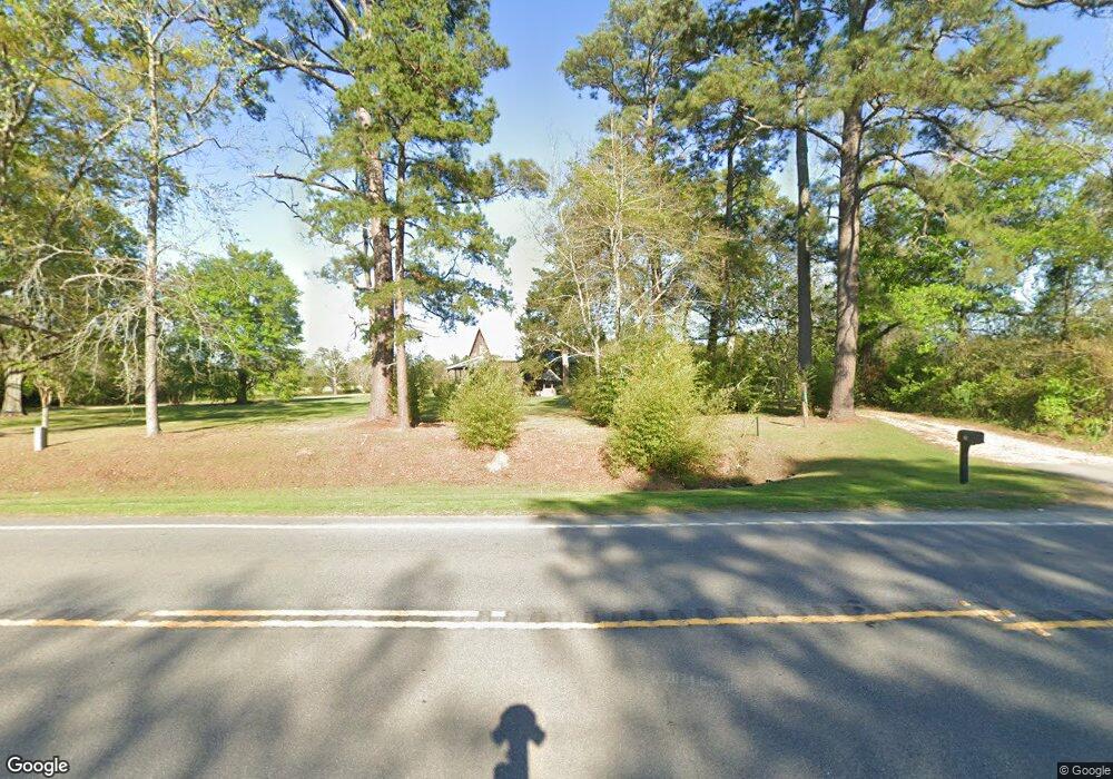
This home is located at 1218 Ga Highway 112 N, Cairo, GA 39827 and is currently estimated at $160,145, approximately $64 per square foot. 1218 Ga Highway 112 N is a home.
Ownership History
Date
Name
Owned For
Owner Type
Purchase Details
Closed on
Feb 24, 2012
Sold by
Hopkins Denise E
Bought by
Gainous Thomas Michael
Current Estimated Value
Home Financials for this Owner
Home Financials are based on the most recent Mortgage that was taken out on this home.
Original Mortgage
$30,000
Outstanding Balance
$20,735
Interest Rate
4%
Mortgage Type
New Conventional
Estimated Equity
$139,410
Purchase Details
Closed on
Dec 13, 2002
Sold by
Elver Charles
Bought by
Hopkins Denise
Purchase Details
Closed on
Dec 26, 2001
Sold by
Elver Charles
Bought by
Savage Matthew
Purchase Details
Closed on
Jun 22, 1993
Sold by
Savage Matthew
Bought by
Elver Charles
Create a Home Valuation Report for This Property
The Home Valuation Report is an in-depth analysis detailing your home's value as well as a comparison with similar homes in the area
Home Values in the Area
Average Home Value in this Area
Purchase History
| Date | Buyer | Sale Price | Title Company |
|---|---|---|---|
| Gainous Thomas Michael | $36,000 | -- | |
| Hopkins Denise | $35,000 | -- | |
| Savage Matthew | $25,000 | -- | |
| Elver Charles | $25,000 | -- |
Source: Public Records
Mortgage History
| Date | Status | Borrower | Loan Amount |
|---|---|---|---|
| Open | Gainous Thomas Michael | $30,000 |
Source: Public Records
Tax History Compared to Growth
Tax History
| Year | Tax Paid | Tax Assessment Tax Assessment Total Assessment is a certain percentage of the fair market value that is determined by local assessors to be the total taxable value of land and additions on the property. | Land | Improvement |
|---|---|---|---|---|
| 2024 | $1,169 | $38,013 | $5,615 | $32,398 |
| 2023 | $558 | $18,114 | $3,616 | $14,498 |
| 2022 | $558 | $18,114 | $3,616 | $14,498 |
| 2021 | $559 | $18,114 | $3,616 | $14,498 |
| 2020 | $561 | $18,114 | $3,616 | $14,498 |
| 2019 | $561 | $18,114 | $3,616 | $14,498 |
| 2018 | $527 | $18,114 | $3,616 | $14,498 |
| 2017 | $502 | $18,114 | $3,616 | $14,498 |
| 2016 | $447 | $16,044 | $3,616 | $12,428 |
| 2015 | $441 | $16,044 | $3,616 | $12,428 |
| 2014 | $442 | $16,044 | $3,616 | $12,428 |
| 2013 | -- | $16,797 | $4,995 | $11,802 |
Source: Public Records
Map
Nearby Homes
- 1741 Georgia 112
- 53 +/- A Bond Rd
- 189 Sabino Dr
- 231 Mcintyre Ln
- 264 Woodridge Ln
- 1520 Upper Hawthorne Trail
- 158 Woodridge Ln
- 105 Woodridge Ln
- 1725 Tract 2 Hwy 84w
- 1725 Tract #1 Hwy 84w
- 0 Upper Hawthorne Trail
- Lot 1 Crine Blvd
- 1500 15th Ave NW
- 1137 Summerfield
- 1389 Lake Front Dr
- 1200 15th Ave NW
- 1490 Magnolia Dr
- 1296 McQuaig St NW
- 000 15th Ave Nw -- Tract 1
- 000 15th Ave Nw -- Tract 2
- 1654 Georgia 112
- 1654 Ga Highway 112 N
- 196 Gainous Ln
- 1714 Ga Highway 112 N
- 175 Gainous Ln
- 276 Gainous Rd
- 1398 Ga Highway 112 N
- 1754 Ga Highway 112 N
- 1754 Georgia 112
- 1790 Ga Highway 112 N
- 1349 Ga Highway 112 N
- 1810 Ga Highway 112 N
- 1842 Ga Highway 112 N
- 1842 Ga Highway 112 N
- 377 Gainous Rd
- 382 Gainous Rd
- 1832 Ga Highway 112 N
- 401 Gainous Rd
- 795 Ridge Rd
- 394 Gainous Rd