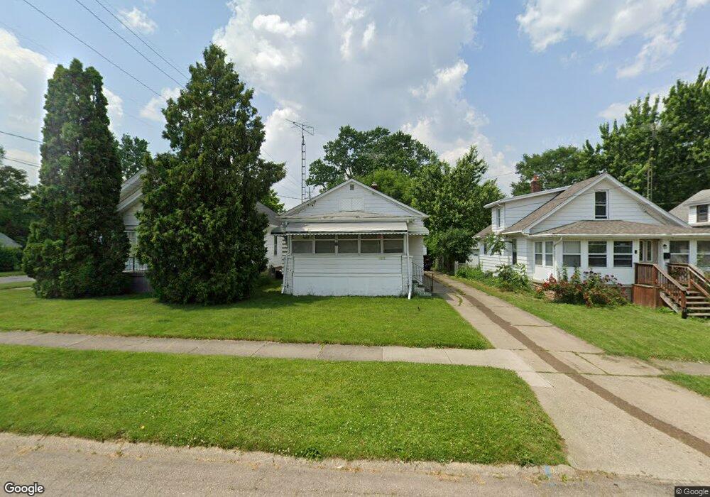
1218 Hughes Ave Flint, MI 48503
Mannhall Park NeighborhoodEstimated Value: $54,000 - $57,088
3
Beds
1
Bath
941
Sq Ft
$60/Sq Ft
Est. Value
About This Home
This home is located at 1218 Hughes Ave, Flint, MI 48503 and is currently estimated at $56,022, approximately $59 per square foot. 1218 Hughes Ave is a home located in Genesee County with nearby schools including Durant-Tuuri-Mott Elementary School, Flint Southwestern Classical Academy, and St. Paul Lutheran School.
Ownership History
Date
Name
Owned For
Owner Type
Purchase Details
Closed on
Mar 24, 2021
Sold by
K2j2 Properties Llc
Bought by
Mark Vii Llc
Current Estimated Value
Purchase Details
Closed on
Apr 9, 2020
Sold by
Lakeview Loan Servicing Llc
Bought by
Moore Michelle Charlotte
Purchase Details
Closed on
Jan 15, 2020
Sold by
Palmiter Curtis and Palmiter Patricia
Bought by
Lakeview Loan Servicing Llc
Purchase Details
Closed on
Nov 17, 2006
Sold by
Swainston Richard C and Swainston Donna Mae
Bought by
Palmiter Curtis G and Palmiter Patricia A
Create a Home Valuation Report for This Property
The Home Valuation Report is an in-depth analysis detailing your home's value as well as a comparison with similar homes in the area
Home Values in the Area
Average Home Value in this Area
Purchase History
| Date | Buyer | Sale Price | Title Company |
|---|---|---|---|
| Mark Vii Llc | $59,000 | Mason Burgess Title Agency | |
| Moore Michelle Charlotte | $11,750 | None Available | |
| Lakeview Loan Servicing Llc | $15,000 | None Available | |
| Palmiter Curtis G | $54,500 | Guaranty Title Company |
Source: Public Records
Tax History Compared to Growth
Tax History
| Year | Tax Paid | Tax Assessment Tax Assessment Total Assessment is a certain percentage of the fair market value that is determined by local assessors to be the total taxable value of land and additions on the property. | Land | Improvement |
|---|---|---|---|---|
| 2025 | $1,478 | $26,000 | $0 | $0 |
| 2024 | $1,362 | $23,900 | $0 | $0 |
| 2023 | $1,325 | $18,400 | $0 | $0 |
| 2022 | $0 | $15,400 | $0 | $0 |
| 2021 | $1,238 | $13,400 | $0 | $0 |
| 2020 | $783 | $11,500 | $0 | $0 |
| 2019 | $764 | $12,100 | $0 | $0 |
| 2018 | $760 | $10,900 | $0 | $0 |
| 2017 | $739 | $0 | $0 | $0 |
| 2016 | $735 | $0 | $0 | $0 |
| 2015 | -- | $0 | $0 | $0 |
| 2014 | -- | $0 | $0 | $0 |
| 2012 | -- | $13,800 | $0 | $0 |
Source: Public Records
Map
Nearby Homes
- 1202 Knapp Ave
- 1326 Hughes Ave
- 1318 Knapp Ave
- 1122 Stocker Ave
- 1126 Clancy Ave
- 1414 Knapp Ave
- 1114 Clancy Ave
- 1017 Stocker Ave
- 1217 Barney Ave
- 1010 Hughes Ave
- 2913 Gibson St
- 3217 Arlene Ave
- 1308 Barney Ave
- 3413 Augusta St
- 2710 Reynolds St
- 3214 Clairmont St
- 996 Barney Ave
- 1006 Hammond Ave
- 960 Mann Ave
- 2618 Brown St
- 1210 Hughes Ave
- 1222 Hughes Ave
- 1208 Hughes Ave
- 1206 Hughes Ave
- 1217 Knapp Ave
- 1221 Knapp Ave
- 1209 Knapp Ave
- 1202 Hughes Ave
- 1304 Hughes Ave
- 1205 Knapp Ave
- 1215 Hughes Ave
- 1128 Hughes Ave
- 1201 Knapp Ave
- 1209 Hughes Ave
- 1301 Knapp Ave
- 1310 Hughes Ave
- 1127 Knapp Ave
- 1124 Hughes Ave
- 1201 Hughes Ave
- 1301 Hughes Ave