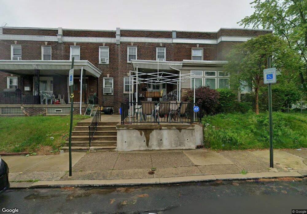
1218 Kenwyn St Philadelphia, PA 19124
Frankford NeighborhoodEstimated Value: $201,000 - $220,000
3
Beds
2
Baths
1,280
Sq Ft
$165/Sq Ft
Est. Value
About This Home
This home is located at 1218 Kenwyn St, Philadelphia, PA 19124 and is currently estimated at $210,634, approximately $164 per square foot. 1218 Kenwyn St is a home located in Philadelphia County with nearby schools including Frankford High School, The Philadelphia Charter School for the Arts & Sciences, and Mastery Schools Smedley Elementary.
Ownership History
Date
Name
Owned For
Owner Type
Purchase Details
Closed on
Sep 27, 2010
Sold by
Bromley Gilbert Thomas
Bought by
Wyatt Charles
Current Estimated Value
Purchase Details
Closed on
Oct 9, 2007
Sold by
Bromley Margaret M
Bought by
Bromley Margaret M and Bromley Gilbert Thomas
Purchase Details
Closed on
Jul 31, 2004
Sold by
Bromley Gilbert T and Bromley Margaret M
Bought by
Bromley Margaret M
Create a Home Valuation Report for This Property
The Home Valuation Report is an in-depth analysis detailing your home's value as well as a comparison with similar homes in the area
Home Values in the Area
Average Home Value in this Area
Purchase History
| Date | Buyer | Sale Price | Title Company |
|---|---|---|---|
| Wyatt Charles | $89,900 | First American Title Insuran | |
| Bromley Margaret M | -- | None Available | |
| Bromley Margaret M | -- | -- |
Source: Public Records
Mortgage History
| Date | Status | Borrower | Loan Amount |
|---|---|---|---|
| Closed | Wyatt Charles | $0 |
Source: Public Records
Tax History Compared to Growth
Tax History
| Year | Tax Paid | Tax Assessment Tax Assessment Total Assessment is a certain percentage of the fair market value that is determined by local assessors to be the total taxable value of land and additions on the property. | Land | Improvement |
|---|---|---|---|---|
| 2026 | $2,002 | $174,800 | $34,960 | $139,840 |
| 2025 | $2,002 | $174,800 | $34,960 | $139,840 |
| 2024 | $2,002 | $174,800 | $34,960 | $139,840 |
| 2023 | $2,002 | $143,000 | $28,600 | $114,400 |
| 2022 | $1,421 | $143,000 | $28,600 | $114,400 |
| 2021 | $1,421 | $0 | $0 | $0 |
| 2020 | $1,421 | $0 | $0 | $0 |
| 2019 | $1,363 | $0 | $0 | $0 |
| 2018 | $1,348 | $0 | $0 | $0 |
| 2017 | $1,348 | $0 | $0 | $0 |
| 2016 | $1,348 | $0 | $0 | $0 |
| 2015 | $1,290 | $0 | $0 | $0 |
| 2014 | -- | $96,300 | $15,915 | $80,385 |
| 2012 | -- | $13,696 | $1,086 | $12,610 |
Source: Public Records
Map
Nearby Homes
- 1220 Kenwyn St
- 1216 Kenwyn St
- 1222 Kenwyn St
- 1224 Kenwyn St
- 1226 Kenwyn St
- 1228 Kenwyn St
- 5131 Oxford Ave
- 5133 Oxford Ave
- 5129 Oxford Ave
- 5135 Oxford Ave
- 5125 Oxford Ave
- 1230 Kenwyn St
- 5137 Oxford Ave
- 5123 Oxford Ave
- 5139 Oxford Ave
- 1232 Kenwyn St
- 5121 Oxford Ave
- 5141 Oxford Ave
- 5122 Oakland St
- 5119 Oxford Ave