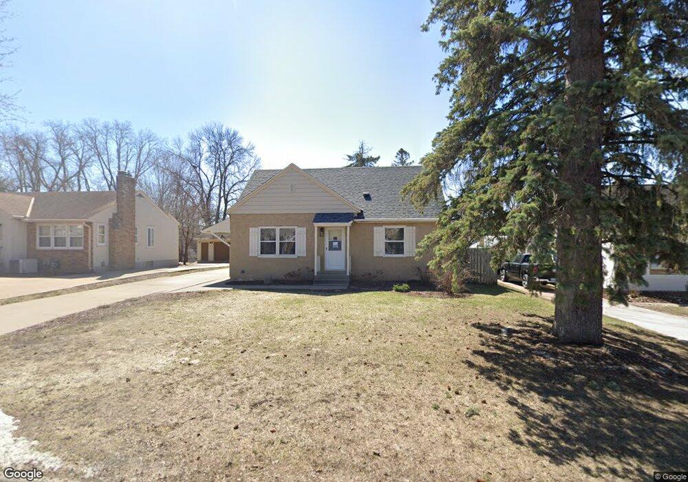
1218 Lealand Rd E Maplewood, MN 55109
Sherwood Glen NeighborhoodEstimated Value: $289,000 - $375,000
4
Beds
2
Baths
550
Sq Ft
$577/Sq Ft
Est. Value
About This Home
This home is located at 1218 Lealand Rd E, Maplewood, MN 55109 and is currently estimated at $317,531, approximately $577 per square foot. 1218 Lealand Rd E is a home located in Ramsey County with nearby schools including Weaver Elementary School, John Glenn Middle School, and St Jerome Elementary School.
Ownership History
Date
Name
Owned For
Owner Type
Purchase Details
Closed on
May 30, 2018
Sold by
Lacouserise Tim and Lacouserise Erin D
Bought by
Mcoherson Katherine Marie
Current Estimated Value
Home Financials for this Owner
Home Financials are based on the most recent Mortgage that was taken out on this home.
Original Mortgage
$183,920
Interest Rate
4.5%
Mortgage Type
New Conventional
Purchase Details
Closed on
Apr 20, 2010
Sold by
Federal Home Loan Mortgage Corporation
Bought by
Crockett & Crockett Builders Inc
Create a Home Valuation Report for This Property
The Home Valuation Report is an in-depth analysis detailing your home's value as well as a comparison with similar homes in the area
Home Values in the Area
Average Home Value in this Area
Purchase History
| Date | Buyer | Sale Price | Title Company |
|---|---|---|---|
| Mcoherson Katherine Marie | $229,900 | Fsa Title Servicesllc | |
| Crockett & Crockett Builders Inc | $117,000 | -- |
Source: Public Records
Mortgage History
| Date | Status | Borrower | Loan Amount |
|---|---|---|---|
| Previous Owner | Mcoherson Katherine Marie | $183,920 |
Source: Public Records
Tax History
| Year | Tax Paid | Tax Assessment Tax Assessment Total Assessment is a certain percentage of the fair market value that is determined by local assessors to be the total taxable value of land and additions on the property. | Land | Improvement |
|---|---|---|---|---|
| 2025 | $3,954 | $299,200 | $48,700 | $250,500 |
| 2023 | $3,954 | $287,100 | $48,700 | $238,400 |
| 2022 | $3,258 | $262,500 | $48,700 | $213,800 |
| 2021 | $3,108 | $231,100 | $48,700 | $182,400 |
| 2020 | $3,168 | $226,100 | $48,700 | $177,400 |
| 2019 | $2,986 | $216,000 | $48,700 | $167,300 |
| 2018 | $2,830 | $207,900 | $48,700 | $159,200 |
| 2017 | $2,648 | $193,800 | $48,700 | $145,100 |
| 2016 | $2,500 | $0 | $0 | $0 |
| 2015 | $2,238 | $168,400 | $44,700 | $123,700 |
| 2014 | $2,118 | $0 | $0 | $0 |
Source: Public Records
Map
Nearby Homes
- 1200 Leland Rd E
- 1290 Belmont Ln E
- 2022 English St
- 1461 Grandview Ave E
- 2125 Hazelwood St
- 1083 Gordon Ave
- 1855 Birmingham St
- 1481 Sextant Ave E
- 1800 Edward St
- 1875 E Shore Dr Unit 302
- 1579 Grandview Ave E
- 1764 English St
- 1984 Prosperity Rd
- 1745 Duluth St
- 1894 Maryknoll Ave N
- 2457 Dianna Ln
- 1669 Clarence St
- 822 Palm Ct
- 1633 Etna St
- 1664 Barclay St
- 1218 Lealand Rd
- 1222 Lealand Rd
- 1212 Lealand Rd E
- 1212 Lealand Rd
- 1228 Lealand Rd
- 1228 Lealand Rd E
- 1206 Lealand Rd E
- 1206 Lealand Rd
- 1225 Junction Ave
- 1213 Junction Ave
- 1205 Junction Ave
- 1200 Lealand Rd E
- 1232 Lealand Rd
- 1200 Lealand Rd
- 1215 Lealand Rd
- 1221 Lealand Rd
- 1211 Lealand Rd E
- 2171 Atlantic St
- 1211 Lealand Rd
- 1227 Lealand Rd E
Your Personal Tour Guide
Ask me questions while you tour the home.