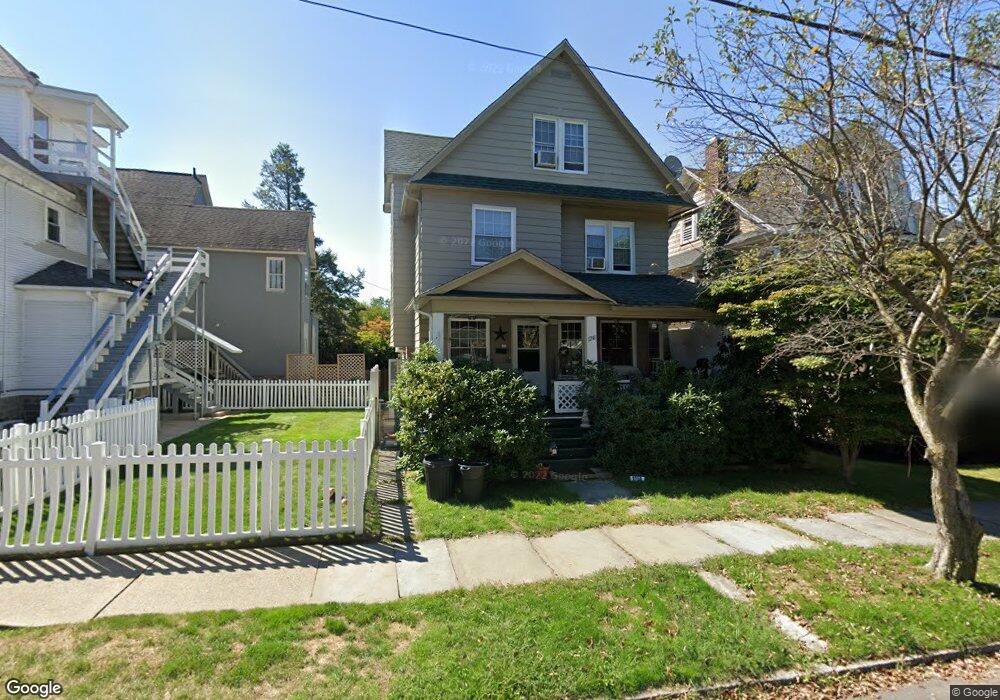
1218 Myrtle St Scranton, PA 18510
Hill Section NeighborhoodEstimated Value: $179,454 - $257,000
4
Beds
2
Baths
1,985
Sq Ft
$117/Sq Ft
Est. Value
About This Home
This home is located at 1218 Myrtle St, Scranton, PA 18510 and is currently estimated at $231,864, approximately $116 per square foot. 1218 Myrtle St is a home located in Lackawanna County with nearby schools including William Prescott School, Northeast Scranton Intermediate School, and Scranton High School.
Ownership History
Date
Name
Owned For
Owner Type
Purchase Details
Closed on
Jul 24, 2007
Sold by
Lichak Theresa
Bought by
Sarahs Regina
Current Estimated Value
Home Financials for this Owner
Home Financials are based on the most recent Mortgage that was taken out on this home.
Original Mortgage
$118,750
Outstanding Balance
$75,301
Interest Rate
6.78%
Mortgage Type
New Conventional
Estimated Equity
$156,563
Create a Home Valuation Report for This Property
The Home Valuation Report is an in-depth analysis detailing your home's value as well as a comparison with similar homes in the area
Home Values in the Area
Average Home Value in this Area
Purchase History
| Date | Buyer | Sale Price | Title Company |
|---|---|---|---|
| Sarahs Regina | $125,000 | None Available |
Source: Public Records
Mortgage History
| Date | Status | Borrower | Loan Amount |
|---|---|---|---|
| Open | Sarahs Regina | $118,750 |
Source: Public Records
Tax History Compared to Growth
Tax History
| Year | Tax Paid | Tax Assessment Tax Assessment Total Assessment is a certain percentage of the fair market value that is determined by local assessors to be the total taxable value of land and additions on the property. | Land | Improvement |
|---|---|---|---|---|
| 2025 | $4,568 | $14,000 | $2,553 | $11,447 |
| 2024 | $4,179 | $14,000 | $2,553 | $11,447 |
| 2023 | $4,179 | $14,000 | $2,553 | $11,447 |
| 2022 | $4,087 | $14,000 | $2,553 | $11,447 |
| 2021 | $4,087 | $14,000 | $2,553 | $11,447 |
| 2020 | $4,012 | $14,000 | $2,553 | $11,447 |
| 2019 | $3,775 | $14,000 | $2,553 | $11,447 |
| 2018 | $3,775 | $14,000 | $2,553 | $11,447 |
| 2017 | $3,709 | $14,000 | $2,553 | $11,447 |
| 2016 | $1,172 | $14,000 | $2,553 | $11,447 |
| 2015 | $2,467 | $14,000 | $2,553 | $11,447 |
| 2014 | -- | $14,000 | $2,553 | $11,447 |
Source: Public Records
Map
Nearby Homes
- 900 Taylor Ave
- 805-807 N Irving Ave
- 825 827 Quincy Ave Unit 825-827
- 826 N Irving Ave
- 1406 Ash St
- 615-617 Quincy Ave
- 1017 Prescott Ave
- 832 Monroe Ave
- 929 Monroe Ave
- 715 Prescott Ave Unit L17
- 139 William St
- 621 Clay Ave
- 1018 Madison Ave
- 1028-1030 Madison Ave
- 1325 Olive St
- 1112 Ridge Ave
- 560 N Webster Ave
- 1119 1121 Monroe Ave
- 550 Clay Ave Unit 8c
- 7 Oakwood Place
- 1216 Myrtle St
- 841 Taylor Ave
- 837 Taylor Ave Unit 839
- 835 Taylor Ave
- 1214 Myrtle St
- 833 Taylor Ave
- 1212 Myrtle St
- 1219 Myrtle St
- 1217 Myrtle St
- 901 Taylor Ave
- 829 Taylor Ave
- 840 N Webster Ave
- 1215 Myrtle St
- 834 N Webster Ave
- 1213 Myrtle St
- 844 N Webster Ave
- 907 Taylor Ave
- 844 Taylor Ave
- 842 Taylor Ave
- 830 N Webster Ave