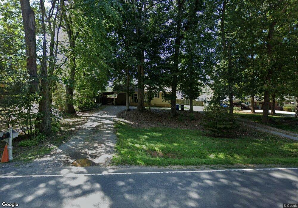
1218 Perth Rd Troutman, NC 28166
Estimated Value: $276,170 - $310,000
3
Beds
2
Baths
1,198
Sq Ft
$242/Sq Ft
Est. Value
About This Home
This home is located at 1218 Perth Rd, Troutman, NC 28166 and is currently estimated at $289,543, approximately $241 per square foot. 1218 Perth Rd is a home located in Iredell County with nearby schools including Troutman Elementary School, Troutman Middle School, and South Iredell High School.
Ownership History
Date
Name
Owned For
Owner Type
Purchase Details
Closed on
Sep 13, 2019
Sold by
Hege Alice Lynn
Bought by
Colson Deborah L
Current Estimated Value
Home Financials for this Owner
Home Financials are based on the most recent Mortgage that was taken out on this home.
Original Mortgage
$148,500
Outstanding Balance
$129,229
Interest Rate
3.5%
Mortgage Type
New Conventional
Estimated Equity
$160,314
Purchase Details
Closed on
Nov 30, 1998
Sold by
Baity James H and Baity Dorothy A
Bought by
Hege Alice Lynn
Home Financials for this Owner
Home Financials are based on the most recent Mortgage that was taken out on this home.
Original Mortgage
$83,200
Interest Rate
6.61%
Mortgage Type
Purchase Money Mortgage
Purchase Details
Closed on
Apr 1, 1990
Purchase Details
Closed on
Jun 1, 1987
Purchase Details
Closed on
Dec 1, 1985
Create a Home Valuation Report for This Property
The Home Valuation Report is an in-depth analysis detailing your home's value as well as a comparison with similar homes in the area
Home Values in the Area
Average Home Value in this Area
Purchase History
| Date | Buyer | Sale Price | Title Company |
|---|---|---|---|
| Colson Deborah L | $165,000 | None Available | |
| Hege Alice Lynn | $104,500 | -- | |
| -- | $55,000 | -- | |
| -- | $50,000 | -- | |
| -- | $49,000 | -- |
Source: Public Records
Mortgage History
| Date | Status | Borrower | Loan Amount |
|---|---|---|---|
| Open | Colson Deborah L | $148,500 | |
| Previous Owner | Hege Alice Lynn | $83,200 |
Source: Public Records
Tax History
| Year | Tax Paid | Tax Assessment Tax Assessment Total Assessment is a certain percentage of the fair market value that is determined by local assessors to be the total taxable value of land and additions on the property. | Land | Improvement |
|---|---|---|---|---|
| 2025 | $1,212 | $192,010 | $35,000 | $157,010 |
| 2024 | $1,212 | $192,010 | $35,000 | $157,010 |
| 2023 | $1,212 | $192,010 | $35,000 | $157,010 |
| 2022 | $828 | $120,470 | $31,500 | $88,970 |
| 2021 | $812 | $120,470 | $31,500 | $88,970 |
| 2020 | $812 | $120,470 | $31,500 | $88,970 |
| 2019 | $782 | $120,470 | $31,500 | $88,970 |
| 2018 | $738 | $114,770 | $31,500 | $83,270 |
| 2017 | $738 | $114,770 | $31,500 | $83,270 |
| 2016 | $738 | $114,770 | $31,500 | $83,270 |
| 2015 | -- | $114,770 | $31,500 | $83,270 |
| 2014 | -- | $120,190 | $31,500 | $88,690 |
Source: Public Records
Map
Nearby Homes
- 134 Millard Ln
- 149 Shady Cove Rd
- 140 Shady Cove Rd
- 122 Lily Pad Loop
- 299 Hamptons Cove Rd
- 164 Crooked Branch Way
- 131 Winding Forest Dr
- 110 Emmaline Ct
- 142 Rolling Meadows Dr
- 143 Rolling Meadows Dr
- 155 Streamwood Rd
- 124 Bentley Ct Unit 6
- 516 Fern Hill Rd
- 516 Fern Hill Rd Unit 16
- 552 Fern Hill Rd
- 510 Fern Hill Rd Unit 15
- 310 Hamptons Cove Rd
- 156 Ashmore Cir
- 106 Anchor Ln
- 110 Captains Way
- 1222 Perth Rd
- 1212 Perth Rd
- 119 Millard Ln
- 113 Millard Ln
- 125 Millard Ln
- 109 Shady Cove Rd
- 15 Millard Ln Unit 1
- 15 Millard Ln Unit 15
- 129 Millard Ln
- 1234 Perth Rd
- 115 Shady Cove Rd
- 112 Millard Ln
- 112 Millard Ln Unit 7
- 167 Shady Cove Rd
- 133 Millard Ln
- 163 Shady Cove Rd
- 1238 Perth Rd
- 121 Shady Cove Rd
- 121 Shady Cove Rd
- 159 Shady Cove Rd
Your Personal Tour Guide
Ask me questions while you tour the home.