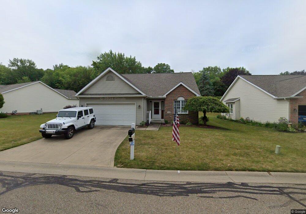
1218 Presidents St Unit 3 Louisville, OH 44641
Estimated Value: $280,000 - $329,000
2
Beds
3
Baths
1,838
Sq Ft
$170/Sq Ft
Est. Value
About This Home
This home is located at 1218 Presidents St Unit 3, Louisville, OH 44641 and is currently estimated at $312,438, approximately $169 per square foot. 1218 Presidents St Unit 3 is a home located in Stark County with nearby schools including Louisville High School and St. Thomas Aquinas High School & Middle School.
Ownership History
Date
Name
Owned For
Owner Type
Purchase Details
Closed on
Oct 25, 2021
Sold by
Sypolt Charles and Sypolt Jane
Bought by
Sypolt Charles H and Sypolt Jane S
Current Estimated Value
Purchase Details
Closed on
Mar 25, 2021
Sold by
Kerzan Susan and Estate Of Irmajane Zelei
Bought by
Sypolt Charles and Sypolt Jane
Purchase Details
Closed on
Oct 29, 2009
Sold by
Finley Margaret L
Bought by
Zelei Irmajane
Purchase Details
Closed on
Jan 31, 2002
Sold by
Miranoma Inc
Bought by
Finley Margaret L
Create a Home Valuation Report for This Property
The Home Valuation Report is an in-depth analysis detailing your home's value as well as a comparison with similar homes in the area
Home Values in the Area
Average Home Value in this Area
Purchase History
| Date | Buyer | Sale Price | Title Company |
|---|---|---|---|
| Sypolt Charles H | -- | None Available | |
| Sypolt Charles | $251,000 | None Available | |
| Zelei Irmajane | $170,000 | Attorney | |
| Finley Margaret L | $165,000 | -- |
Source: Public Records
Tax History Compared to Growth
Tax History
| Year | Tax Paid | Tax Assessment Tax Assessment Total Assessment is a certain percentage of the fair market value that is determined by local assessors to be the total taxable value of land and additions on the property. | Land | Improvement |
|---|---|---|---|---|
| 2025 | -- | $102,380 | $16,210 | $86,170 |
| 2024 | -- | $102,380 | $16,210 | $86,170 |
| 2023 | $3,073 | $69,830 | $12,570 | $57,260 |
| 2022 | $3,007 | $69,830 | $12,570 | $57,260 |
| 2021 | $3,088 | $69,830 | $12,570 | $57,260 |
| 2020 | $2,107 | $61,890 | $11,310 | $50,580 |
| 2019 | $2,122 | $61,890 | $11,310 | $50,580 |
| 2018 | $2,114 | $61,890 | $11,310 | $50,580 |
| 2017 | $1,802 | $52,430 | $10,500 | $41,930 |
| 2016 | $1,839 | $52,430 | $10,500 | $41,930 |
| 2015 | $1,406 | $52,430 | $10,500 | $41,930 |
| 2014 | $930 | $49,740 | $11,100 | $38,640 |
| 2013 | $934 | $49,740 | $11,100 | $38,640 |
Source: Public Records
Map
Nearby Homes
- 641 S Nickelplate St
- 908 Sand Lot Cir
- 520 S Silver St
- 728 E Broad St
- 1715 High St
- 308 Superior St
- 1812 E Broad St
- 2110 Edmar St
- 510 S Bauman Ct
- 204 E Broad St
- 107 E Broad St
- 1702 View Pointe Ave
- 1639 Horizon Dr
- 0 Michigan Blvd
- 3390 Meese Rd NE
- 325 Lincoln Ave
- 8225 Georgetown St
- 2015 E Main St
- 1170 Winding Ridge Ave
- 910 Crosswyck Cir
- 1210 Presidents St Unit 2
- 1300 Presidents St Unit 4
- 1202 Presidents St Unit 1
- 1306 Presidents St Unit 5
- 1308 S Nickelplate St
- 1224 Edmar St
- 1214 Edmar St
- 1312 Presidents St Unit 6
- 37 Presidents St
- 1306 Edmar St
- 1204 Edmar St
- 1316 Edmar St
- 1324 Presidents St Unit 8
- 1223 Edmar St
- 1215 Edmar St
- 1330 Presidents St Unit 9
- 1307 Edmar St
- 1205 Edmar St
- 1403 Presidents St
- 1400 Edmar St