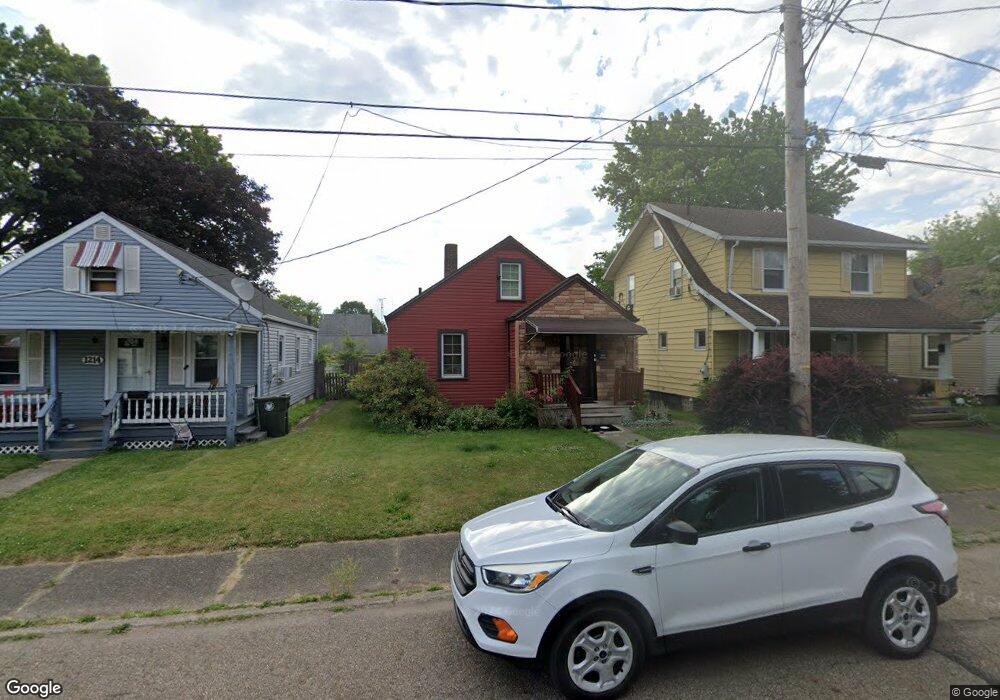
1218 Shadyside Ave SW Canton, OH 44710
Souers NeighborhoodEstimated Value: $78,533 - $92,000
2
Beds
1
Bath
756
Sq Ft
$111/Sq Ft
Est. Value
About This Home
This home is located at 1218 Shadyside Ave SW, Canton, OH 44710 and is currently estimated at $84,133, approximately $111 per square foot. 1218 Shadyside Ave SW is a home located in Stark County with nearby schools including Early Learning Center @ Schreiber, Cedar Elementary School, and McGregor Elementary School.
Ownership History
Date
Name
Owned For
Owner Type
Purchase Details
Closed on
May 5, 2003
Sold by
Household Realty Corp
Bought by
Hooper Deborah K
Current Estimated Value
Home Financials for this Owner
Home Financials are based on the most recent Mortgage that was taken out on this home.
Original Mortgage
$39,000
Outstanding Balance
$17,037
Interest Rate
5.86%
Mortgage Type
Purchase Money Mortgage
Estimated Equity
$67,096
Purchase Details
Closed on
Mar 7, 2003
Sold by
Steffen Charles E and Steffen Sharon M
Bought by
Household Realty Corp
Home Financials for this Owner
Home Financials are based on the most recent Mortgage that was taken out on this home.
Original Mortgage
$39,000
Outstanding Balance
$17,037
Interest Rate
5.86%
Mortgage Type
Purchase Money Mortgage
Estimated Equity
$67,096
Create a Home Valuation Report for This Property
The Home Valuation Report is an in-depth analysis detailing your home's value as well as a comparison with similar homes in the area
Home Values in the Area
Average Home Value in this Area
Purchase History
| Date | Buyer | Sale Price | Title Company |
|---|---|---|---|
| Hooper Deborah K | $39,000 | Cardinal Title Company | |
| Household Realty Corp | $360,000 | -- |
Source: Public Records
Mortgage History
| Date | Status | Borrower | Loan Amount |
|---|---|---|---|
| Open | Hooper Deborah K | $39,000 |
Source: Public Records
Tax History Compared to Growth
Tax History
| Year | Tax Paid | Tax Assessment Tax Assessment Total Assessment is a certain percentage of the fair market value that is determined by local assessors to be the total taxable value of land and additions on the property. | Land | Improvement |
|---|---|---|---|---|
| 2025 | -- | $17,430 | $4,760 | $12,670 |
| 2024 | -- | $17,430 | $4,760 | $12,670 |
| 2023 | $930 | $15,540 | $4,340 | $11,200 |
| 2022 | $905 | $15,540 | $4,340 | $11,200 |
| 2021 | $914 | $15,540 | $4,340 | $11,200 |
| 2020 | $841 | $12,780 | $3,610 | $9,170 |
| 2019 | $734 | $12,780 | $3,610 | $9,170 |
| 2018 | $738 | $12,780 | $3,610 | $9,170 |
| 2017 | $764 | $12,050 | $3,540 | $8,510 |
| 2016 | $767 | $12,050 | $3,540 | $8,510 |
| 2015 | $771 | $12,050 | $3,540 | $8,510 |
| 2014 | $856 | $12,570 | $3,680 | $8,890 |
| 2013 | $413 | $12,570 | $3,680 | $8,890 |
Source: Public Records
Map
Nearby Homes
- 1214 Roslyn Ave SW
- 1013 Maryland Ave SW
- 1361 Crescent Rd SW
- 1023 Wertz Ave SW
- 929 Wertz Ave SW
- 3204 14th St SW
- 1256 Dartmouth Ave SW
- 2711 Blair Place SW
- 1019 Dartmouth Ave SW
- 3800 11th St SW
- 3029 7th St SW
- 921 Clarendon Ave SW
- 3006 6th St SW
- 1226 Poplar Ave SW
- 1009 Arlington Ave SW
- 2416 9th St SW
- 931 Smith Ave SW
- 123 Linwood Ave NW
- 1622 Clarendon Ave SW
- 1547 Alden Ave SW
- 1222 Shadyside Ave SW
- 1214 Shadyside Ave SW
- 1226 Shadyside Ave SW
- 1228 Shadyside Ave SW
- 1208 Shadyside Ave SW
- 1204 Shadyside Ave SW
- 1215 Maryland Ave SW
- 1223 Maryland Ave SW
- 1213 Maryland Ave SW
- 1227 Maryland Ave SW
- 3124 12th St SW
- 1236 Shadyside Ave SW
- 1200 Shadyside Ave SW
- 1219 Shadyside Ave SW
- 1231 Maryland Ave SW
- 1209 Maryland Ave SW
- 1215 Shadyside Ave SW
- 1211 Shadyside Ave SW
- 1235 Maryland Ave SW
- 1238 Shadyside Ave SW