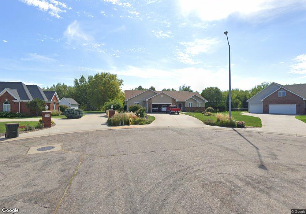
1218 Tanner Ct North Platte, NE 69101
Estimated Value: $404,000 - $497,000
3
Beds
3
Baths
2,530
Sq Ft
$171/Sq Ft
Est. Value
About This Home
This home is located at 1218 Tanner Ct, North Platte, NE 69101 and is currently estimated at $433,092, approximately $171 per square foot. 1218 Tanner Ct is a home located in Lincoln County with nearby schools including North Platte High School, Platte Valley Christian Academy, and Our Redeemer Lutheran School.
Ownership History
Date
Name
Owned For
Owner Type
Purchase Details
Closed on
Feb 26, 2025
Sold by
Best Wava J
Bought by
Best Wava J and Best Jody Lynn
Current Estimated Value
Purchase Details
Closed on
Aug 18, 2015
Sold by
Craven Lavina M
Bought by
Craven Lavina M and Lavina M Craven Revocable Trust
Purchase Details
Closed on
Apr 30, 2009
Sold by
Dyer Casey L and Dyer Jennifer N
Bought by
Starosk Joseph M and Starosk Wendy L
Purchase Details
Closed on
Nov 9, 2005
Sold by
Shults Constuciton Inc
Bought by
Dyer Casey L and Dyer Jennifer N
Create a Home Valuation Report for This Property
The Home Valuation Report is an in-depth analysis detailing your home's value as well as a comparison with similar homes in the area
Home Values in the Area
Average Home Value in this Area
Purchase History
| Date | Buyer | Sale Price | Title Company |
|---|---|---|---|
| Best Wava J | -- | None Listed On Document | |
| Craven Lavina M | -- | None Available | |
| Starosk Joseph M | $275,000 | None Available | |
| Dyer Casey L | $48,000 | None Available |
Source: Public Records
Tax History Compared to Growth
Tax History
| Year | Tax Paid | Tax Assessment Tax Assessment Total Assessment is a certain percentage of the fair market value that is determined by local assessors to be the total taxable value of land and additions on the property. | Land | Improvement |
|---|---|---|---|---|
| 2024 | $4,682 | $343,639 | $57,137 | $286,502 |
| 2023 | $5,771 | $316,500 | $26,158 | $290,342 |
| 2022 | $5,482 | $283,759 | $23,452 | $260,307 |
| 2021 | $5,292 | $272,845 | $22,550 | $250,295 |
| 2020 | $5,369 | $272,845 | $22,550 | $250,295 |
| 2019 | $5,392 | $272,845 | $22,550 | $250,295 |
| 2018 | $5,394 | $272,845 | $22,550 | $250,295 |
| 2017 | $5,388 | $289,195 | $22,550 | $266,645 |
| 2016 | $5,455 | $270,175 | $22,550 | $247,625 |
| 2014 | $5,790 | $264,955 | $38,655 | $226,300 |
Source: Public Records
Map
Nearby Homes
- 815 Mockingbird Dr
- 3518 Oriole Dr
- 3510 Oriole Dr
- 3613 Oriole Dr
- 4143 Sweetwood Dr
- 3605 Sugarberry Rd
- 4173 Sweetwood Dr
- 3125 W Philip Ave
- 321 Dixie Ave
- 3001 Cedarberry Ln
- 3115 W E St
- 3015 Birchwood Rd
- 2811 W Philip Ave
- 3901 W A St
- 3909 W A St
- 3911 W A St
- 3913 W A St
- 214 S Elder Ave
- 3817 W A St
- 3809 W A St
- 1202 Tanner Ct
- 1209 Tanner Ct
- 1120 Tanner Ct
- 1121 Tanner Ct
- 1115 Tanner Ct
- 1110 Tanner Ct
- 1109 Tanner Ct
- 3724 Sunset Dr
- 3902 Sunset Dr
- 3810 Sunset Dr
- 3908 Sunset Dr
- 3710 Sunset Dr
- 3910 Sunset Dr
- 4002 Sunset Dr
- 3620 Sunset Dr
- 1502 S Bare Ave
- 3610 Sunset Dr
- 4014 Sunset Dr
- 3602 Sunset Dr
- 4020 Sunset Dr