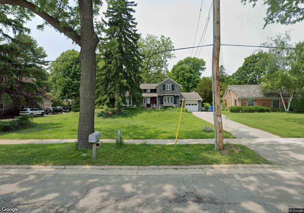
1218 University Bay Dr Madison, WI 53705
Shorewood Hill NeighborhoodEstimated Value: $860,000 - $1,151,388
4
Beds
2
Baths
1,647
Sq Ft
$634/Sq Ft
Est. Value
About This Home
This home is located at 1218 University Bay Dr, Madison, WI 53705 and is currently estimated at $1,044,597, approximately $634 per square foot. 1218 University Bay Dr is a home located in Dane County with nearby schools including Shorewood Hills Elementary School, Hamilton Middle School, and West High School.
Ownership History
Date
Name
Owned For
Owner Type
Purchase Details
Closed on
Apr 19, 2021
Sold by
Clifton William H and Kelly H Clifton Estate
Bought by
Ohalloran Patrick and Oyamada Michelle
Current Estimated Value
Home Financials for this Owner
Home Financials are based on the most recent Mortgage that was taken out on this home.
Original Mortgage
$200,000
Outstanding Balance
$180,864
Interest Rate
3.1%
Mortgage Type
New Conventional
Estimated Equity
$863,733
Create a Home Valuation Report for This Property
The Home Valuation Report is an in-depth analysis detailing your home's value as well as a comparison with similar homes in the area
Home Values in the Area
Average Home Value in this Area
Purchase History
| Date | Buyer | Sale Price | Title Company |
|---|---|---|---|
| Ohalloran Patrick | $638,000 | None Available |
Source: Public Records
Mortgage History
| Date | Status | Borrower | Loan Amount |
|---|---|---|---|
| Open | Ohalloran Patrick | $200,000 |
Source: Public Records
Tax History Compared to Growth
Tax History
| Year | Tax Paid | Tax Assessment Tax Assessment Total Assessment is a certain percentage of the fair market value that is determined by local assessors to be the total taxable value of land and additions on the property. | Land | Improvement |
|---|---|---|---|---|
| 2024 | $15,253 | $807,000 | $396,500 | $410,500 |
| 2023 | $14,735 | $807,000 | $396,500 | $410,500 |
| 2021 | $11,937 | $576,000 | $286,500 | $289,500 |
| 2020 | $11,657 | $576,000 | $286,500 | $289,500 |
| 2019 | $10,322 | $520,000 | $286,500 | $233,500 |
| 2018 | $9,894 | $520,000 | $286,500 | $233,500 |
| 2017 | $10,277 | $520,000 | $286,500 | $233,500 |
| 2016 | $9,315 | $431,265 | $242,335 | $188,930 |
| 2015 | $9,218 | $431,265 | $242,335 | $188,930 |
| 2014 | -- | $431,265 | $242,335 | $188,930 |
| 2013 | $8,770 | $431,265 | $242,335 | $188,930 |
Source: Public Records
Map
Nearby Homes
- 1219 Wellesley Rd
- 2913 Harvey St
- 3100 Lake Mendota Dr Unit 401
- 3425 Crestwood Dr
- 405 N Franklin Ave
- 620 N Blackhawk Ave
- 2725 Kendall Ave
- 209 N Franklin Ave
- 314 Eugenia Ave
- 2707 Mason St
- 612 N Midvale Blvd
- 688 N Midvale Blvd Unit 201
- 2813 Regent St
- 201 N Owen Dr
- 210 Forest St
- 30 Virginia Terrace
- 625 N Segoe Rd Unit 504
- 625 N Segoe Rd Unit 1107
- 625 N Segoe Rd Unit 702
- 625 N Segoe Rd Unit 603
- 1210 University Bay Dr
- 1224 University Bay Dr
- 1231 Wellesley Rd
- 1223 Wellesley Rd
- 1206 University Bay Dr
- 1235 Wellesley Rd
- 1230 University Bay Dr
- 1200 University Bay Dr
- 1239 Wellesley Rd
- 1215 Wellesley Rd
- 1234 University Bay Dr
- 1245 Wellesley Rd
- 1240 University Bay Dr
- 2708 Columbia Rd
- 1230 Wellesley Rd
- 1234 Wellesley Rd
- 1240 Wellesley Rd
- 1214 Wellesley Rd
- 2701 Oxford Rd
- 2707 Oxford Rd