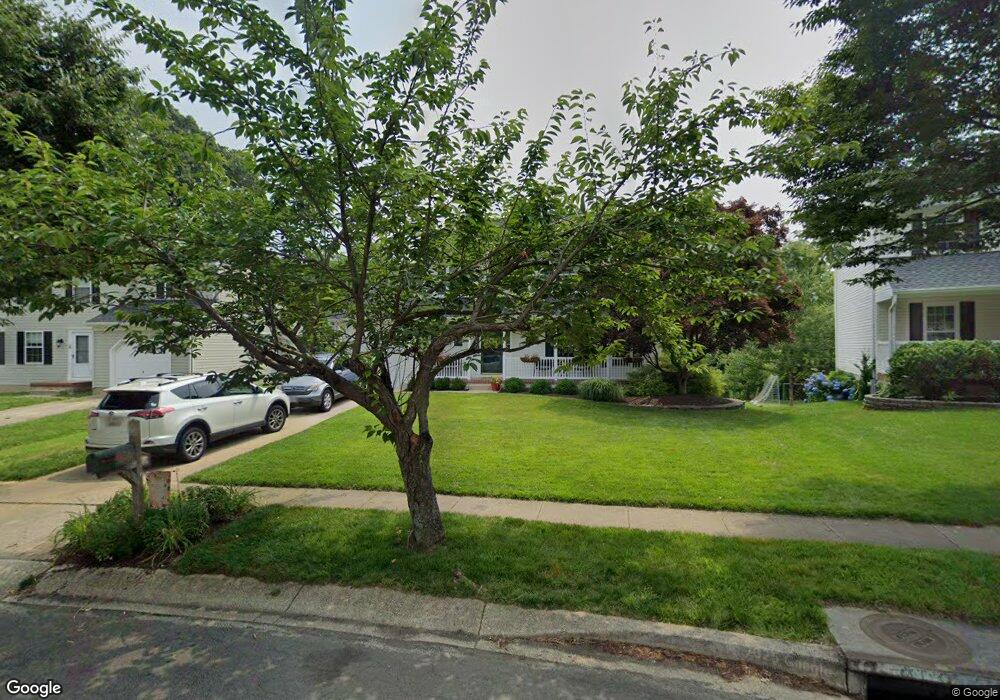
1218 Viking Dr N Arnold, MD 21012
Estimated Value: $633,000 - $683,000
Studio
3
Baths
2,112
Sq Ft
$312/Sq Ft
Est. Value
About This Home
This home is located at 1218 Viking Dr N, Arnold, MD 21012 and is currently estimated at $658,861, approximately $311 per square foot. 1218 Viking Dr N is a home located in Anne Arundel County with nearby schools including Broadneck Elementary School, Magothy River Middle School, and Broadneck High School.
Ownership History
Date
Name
Owned For
Owner Type
Purchase Details
Closed on
Aug 26, 2002
Sold by
Depuy R Scott
Bought by
Stoy Glenn G and Stoy Christina M
Current Estimated Value
Purchase Details
Closed on
Jun 29, 1994
Sold by
Foxmoor Associates Lp
Bought by
Depuy R S
Home Financials for this Owner
Home Financials are based on the most recent Mortgage that was taken out on this home.
Original Mortgage
$186,450
Interest Rate
8.55%
Create a Home Valuation Report for This Property
The Home Valuation Report is an in-depth analysis detailing your home's value as well as a comparison with similar homes in the area
Home Values in the Area
Average Home Value in this Area
Purchase History
| Date | Buyer | Sale Price | Title Company |
|---|---|---|---|
| Stoy Glenn G | $305,000 | -- | |
| Depuy R S | $196,315 | -- |
Source: Public Records
Mortgage History
| Date | Status | Borrower | Loan Amount |
|---|---|---|---|
| Previous Owner | Depuy R S | $186,450 | |
| Closed | Stoy Glenn G | -- |
Source: Public Records
Tax History
| Year | Tax Paid | Tax Assessment Tax Assessment Total Assessment is a certain percentage of the fair market value that is determined by local assessors to be the total taxable value of land and additions on the property. | Land | Improvement |
|---|---|---|---|---|
| 2025 | $3,902 | $489,300 | -- | -- |
| 2024 | $3,902 | $459,400 | $249,100 | $210,300 |
| 2023 | $3,805 | $456,133 | $0 | $0 |
| 2022 | $3,570 | $452,867 | $0 | $0 |
| 2020 | $3,407 | $435,133 | $0 | $0 |
| 2019 | $3,344 | $420,667 | $0 | $0 |
| 2018 | $4,119 | $406,200 | $209,100 | $197,100 |
| 2017 | $3,155 | $405,333 | $0 | $0 |
| 2016 | -- | $404,467 | $0 | $0 |
| 2015 | -- | $403,600 | $0 | $0 |
| 2014 | -- | $397,567 | $0 | $0 |
Source: Public Records
Map
Nearby Homes
- 371 Freshfield Ln
- 1254 Masters Dr
- 136 Collington Ct
- 539 Greenblades Ct
- 276 Overleaf Dr
- 559 Melissa Ct
- 1159 Greenhill Rd
- 303 Ternwing Dr
- 1411 Peregrine Path
- 1410 Greendale Ct Unit 2-1410
- 1553 Star Pine Dr
- 1078 Brightleaf Ct
- 1420 Gilbert Rd
- 1534 Lodge Pole Ct
- 618 Newbridge Ct Unit 3-618
- 656 Newbridge Ct Unit 4-656
- 643 Oakland Hills Dr Unit U2A
- 1419 Mariner Dr
- 624 Southern Hills Dr Unit B-2A
- 628 Southern Hills Dr Unit B-2C
- 1216 Viking Dr N
- 1220 Viking Dr N
- 1214 Viking Dr N
- 1222 Viking Dr N
- 1212 Viking Dr N
- 1215 Viking Dr N
- 1217 Viking Dr N
- 1224 Viking Dr N
- 1210 Viking Dr N
- 1219 Viking Dr N
- 432 Shore Acres Rd
- 425 Shore Acres Rd
- 1208 Viking Dr N
- 558 Norton Ln
- 401 Golf Course Dr
- 1209 Viking Dr N
- 1213 Viking Dr N
- 560 Norton Ln
- 1240 Viking Dr N
- 434 Shore Acres Rd
Your Personal Tour Guide
Ask me questions while you tour the home.