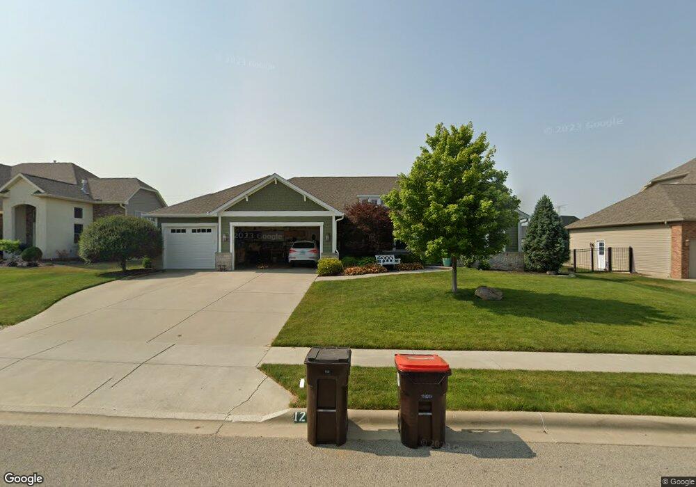
1218 Whetstone Dr Morton, IL 61550
Estimated Value: $496,324 - $551,000
3
Beds
3
Baths
2,388
Sq Ft
$222/Sq Ft
Est. Value
About This Home
This home is located at 1218 Whetstone Dr, Morton, IL 61550 and is currently estimated at $529,081, approximately $221 per square foot. 1218 Whetstone Dr is a home with nearby schools including Morton High School, Blessed Sacrament School, and Bethel Lutheran School.
Ownership History
Date
Name
Owned For
Owner Type
Purchase Details
Closed on
Feb 15, 2013
Sold by
Eigsti Construction Inc
Bought by
Lindell Scott and Lindell Margaret Jane
Current Estimated Value
Home Financials for this Owner
Home Financials are based on the most recent Mortgage that was taken out on this home.
Original Mortgage
$396,000
Outstanding Balance
$275,414
Interest Rate
3.3%
Mortgage Type
New Conventional
Estimated Equity
$253,667
Purchase Details
Closed on
Jul 24, 2012
Sold by
Davies Thomas E
Bought by
Eigsti Construction Inc
Create a Home Valuation Report for This Property
The Home Valuation Report is an in-depth analysis detailing your home's value as well as a comparison with similar homes in the area
Home Values in the Area
Average Home Value in this Area
Purchase History
| Date | Buyer | Sale Price | Title Company |
|---|---|---|---|
| Lindell Scott | $440,000 | First Community Title Svcs | |
| Eigsti Construction Inc | $122,000 | First Community Title Svcs |
Source: Public Records
Mortgage History
| Date | Status | Borrower | Loan Amount |
|---|---|---|---|
| Open | Lindell Scott | $396,000 |
Source: Public Records
Tax History
| Year | Tax Paid | Tax Assessment Tax Assessment Total Assessment is a certain percentage of the fair market value that is determined by local assessors to be the total taxable value of land and additions on the property. | Land | Improvement |
|---|---|---|---|---|
| 2024 | $10,635 | $162,100 | $26,920 | $135,180 |
| 2023 | $10,635 | $151,020 | $25,080 | $125,940 |
| 2022 | $10,247 | $138,690 | $23,030 | $115,660 |
| 2021 | $9,838 | $133,350 | $22,140 | $111,210 |
| 2020 | $9,532 | $132,030 | $21,920 | $110,110 |
| 2019 | $9,507 | $132,030 | $21,920 | $110,110 |
| 2018 | $9,333 | $132,030 | $21,920 | $110,110 |
| 2017 | $9,092 | $132,030 | $21,920 | $110,110 |
| 2016 | $8,364 | $118,510 | $19,170 | $99,340 |
| 2015 | $8,059 | $0 | $0 | $0 |
| 2013 | $7,816 | $145,590 | $38,330 | $107,260 |
Source: Public Records
Map
Nearby Homes
- 1214 Whippoorwill Dr
- 101 N Oregon Ave
- 313 N Nebraska Ave
- 353 Pocono Ave
- 354 N Nebraska Ave
- 916 E Emerson St
- 15 Pennsylvania Ct
- 525 Brentwood Rd
- 430 N Montana Ave
- 420 Brentwood Rd Unit 201
- 519 Ohio Ct
- 640 S 4th Ave Unit 15
- 226 N 4th Ave
- 407 E Jefferson St
- 1001 E Polk St
- 505 E Tyler St
- 501-503 Pierce St
- 523 N Main St
- 452 N Bauman Ave
- 109 W Chicago St
- 1217 Whetstone Dr
- 1222 Whetstone Dr
- Lot 127 Whetstone
- 1214 Whetstone Dr
- 1229 Whippoorwill Dr
- 1225 Whippoorwill Dr
- 1226 Whetstone Dr
- 1210 Whetstone Dr
- 1213 Whetstone Dr
- 1221 Whetstone Dr
- 1231 Whippoorwill Dr
- 1209 Whetstone Dr
- 1221 Whippoorwill Dr
- 1225 Whetstone Dr
- 1205 Whetstone Dr
- 1206 Whetstone Dr
- 1217 Whippoorwill Dr
- 1214 Weatherspoon Dr
- 1210 Weatherspoon Dr
- 1218 Weatherspoon Dr
Your Personal Tour Guide
Ask me questions while you tour the home.