12183 Highway 193 Chickamauga, GA 30707
High Point NeighborhoodEstimated Value: $328,928 - $378,000
--
Bed
2
Baths
2,058
Sq Ft
$169/Sq Ft
Est. Value
About This Home
This home is located at 12183 Highway 193, Chickamauga, GA 30707 and is currently estimated at $348,732, approximately $169 per square foot. 12183 Highway 193 is a home located in Walker County with nearby schools including Chattanooga Valley Elementary School, Chattanooga Valley Middle School, and Ridgeland High School.
Ownership History
Date
Name
Owned For
Owner Type
Purchase Details
Closed on
Jun 2, 2016
Sold by
Crutchfield Edward L
Bought by
Bruning Kendall
Current Estimated Value
Purchase Details
Closed on
Dec 23, 1996
Sold by
Adams John Eric and Adams
Bought by
Crutchfield Edward L and Crutchfield Betty L
Purchase Details
Closed on
Nov 22, 1991
Sold by
Adams Mildred Louise
Bought by
Adams John Eric and Adams
Purchase Details
Closed on
Jan 2, 1985
Sold by
Adams J J
Bought by
Adams Mildred Louise
Purchase Details
Closed on
Jan 1, 1972
Bought by
Adams J J
Create a Home Valuation Report for This Property
The Home Valuation Report is an in-depth analysis detailing your home's value as well as a comparison with similar homes in the area
Home Values in the Area
Average Home Value in this Area
Purchase History
| Date | Buyer | Sale Price | Title Company |
|---|---|---|---|
| Bruning Kendall | $135,000 | -- | |
| Crutchfield Edward L | $84,000 | -- | |
| Adams John Eric | -- | -- | |
| Adams Mildred Louise | -- | -- | |
| Adams J J | -- | -- |
Source: Public Records
Tax History Compared to Growth
Tax History
| Year | Tax Paid | Tax Assessment Tax Assessment Total Assessment is a certain percentage of the fair market value that is determined by local assessors to be the total taxable value of land and additions on the property. | Land | Improvement |
|---|---|---|---|---|
| 2024 | $2,450 | $108,451 | $20,070 | $88,381 |
| 2023 | $2,361 | $102,069 | $17,920 | $84,149 |
| 2022 | $1,969 | $77,893 | $4,394 | $73,499 |
| 2021 | $1,833 | $65,255 | $4,394 | $60,861 |
| 2020 | $1,633 | $55,468 | $4,394 | $51,074 |
| 2019 | $1,661 | $55,468 | $4,394 | $51,074 |
| 2018 | $1,468 | $55,468 | $4,394 | $51,074 |
| 2017 | $1,814 | $55,468 | $4,394 | $51,074 |
| 2016 | $1,438 | $55,468 | $4,394 | $51,074 |
| 2015 | $1,327 | $47,942 | $5,288 | $42,654 |
| 2014 | $1,685 | $66,222 | $5,288 | $60,934 |
| 2013 | -- | $66,221 | $5,288 | $60,933 |
Source: Public Records
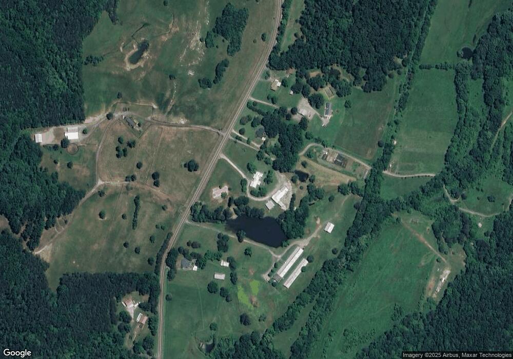
Map
Nearby Homes
- 0 Cloudland Unit 1510868
- 0 Cloudland Unit 1520617
- 0 Mount Dr
- 0 Maple Hill Rd Unit 7527469
- 0 Maple Hill Rd Unit LOT 9A 10467227
- 8668 W Highway 136
- 930 Kensington Rd
- 443 Back Valley Rd
- 159 Powell Dr
- 458 Boss Rd
- 0 Jerry Ellis Rd Unit 1384798
- 5031 Highway 157
- 8515 Highway 157
- 342 Ridley Cir
- 7820 Highway 193
- 440 Durham Rd
- 0 Kensington Rd Unit 1524861
- 3941 Kensington Rd
- 206 Cottage Crest Ct
- 6012 Georgia 341
- 12183 Highway 193
- 12197 Highway 193
- 12159 Georgia 193
- 12159 Highway 193
- 12112 Highway 193
- 12112 Georgia 193
- 12117 Highway 193
- 12129 Georgia 193
- 12144 Highway 193
- 12129 Highway 193
- 12301 Highway 193
- 12160 Highway 193
- 12160 Hwy 193
- 12160 Highway 193
- 12071 Highway 193
- 12399 Highway 193
- 315 High Point Dr
- 315 High Point Dr
- 12010 Highway 193
- 12025 Highway 193