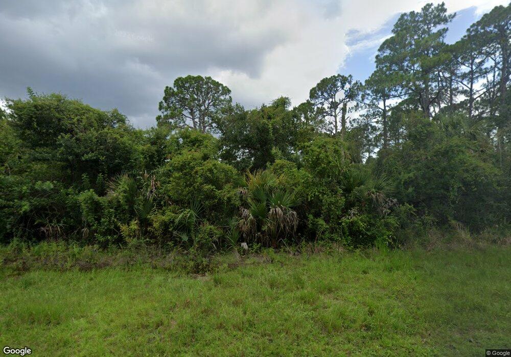
12187 Federal Ave Port Charlotte, FL 33953
Northwest Port Charlotte NeighborhoodEstimated Value: $11,000 - $88,000
--
Bed
--
Bath
--
Sq Ft
0.31
Acres
About This Home
This home is located at 12187 Federal Ave, Port Charlotte, FL 33953 and is currently estimated at $54,000. 12187 Federal Ave is a home located in Charlotte County with nearby schools including Liberty Elementary School, Murdock Middle School, and Port Charlotte High School.
Ownership History
Date
Name
Owned For
Owner Type
Purchase Details
Closed on
Dec 8, 2008
Sold by
Kessel Holdings Llc
Bought by
Vieira Mario and Vieira Linda
Current Estimated Value
Purchase Details
Closed on
Nov 20, 2008
Sold by
Lawhun James N
Bought by
Kessel Holdings Llc
Purchase Details
Closed on
Jun 14, 2005
Sold by
Lawhun James N and Lawhun James N
Bought by
Lawhun James N
Purchase Details
Closed on
Oct 29, 2003
Sold by
Frederick Sehm Deborah and Sehm Frederick
Bought by
Lawhun James and Lawhun James N
Create a Home Valuation Report for This Property
The Home Valuation Report is an in-depth analysis detailing your home's value as well as a comparison with similar homes in the area
Home Values in the Area
Average Home Value in this Area
Purchase History
| Date | Buyer | Sale Price | Title Company |
|---|---|---|---|
| Vieira Mario | $18,700 | Florida Abstract & Security | |
| Kessel Holdings Llc | $6,000 | Everest Title Group Llc | |
| Lawhun James N | $4,000 | -- | |
| Lawhun James | -- | -- |
Source: Public Records
Tax History Compared to Growth
Tax History
| Year | Tax Paid | Tax Assessment Tax Assessment Total Assessment is a certain percentage of the fair market value that is determined by local assessors to be the total taxable value of land and additions on the property. | Land | Improvement |
|---|---|---|---|---|
| 2023 | $463 | $4,320 | $0 | $0 |
| 2022 | $437 | $10,200 | $10,200 | $0 |
| 2021 | $393 | $3,570 | $3,570 | $0 |
| 2020 | $384 | $3,570 | $3,570 | $0 |
| 2019 | $382 | $3,570 | $3,570 | $0 |
| 2018 | $372 | $3,315 | $3,315 | $0 |
| 2017 | $385 | $4,196 | $4,196 | $0 |
| 2016 | $381 | $4,018 | $0 | $0 |
| 2015 | $376 | $3,661 | $0 | $0 |
| 2014 | $274 | $3,633 | $0 | $0 |
Source: Public Records
Map
Nearby Homes
- 12147 Kraft Ave
- 1114 March Dr
- 12196 Kraft Ave
- 12042 Kraft Ave
- 12090 Kraft Ave
- 1108 March Dr
- 12160 Judson Ave
- 12152 Judson Ave
- 1100 March Dr
- 12107 Judson Ave
- 12048 Judson Ave
- 12241 Judson Ave
- 12189 Judson Ave
- 12040 Judson Ave
- 12133 Judson Ave
- 12259 Cassino Ave
- 12095 Cassino Ave
- 1211 Cheshire St
- 1124 Cheshire St
- 12073 Judson Ave
- 12123 Federal Ave
- 12204 Federal Ave
- 12199 Federal Ave
- 12172 Federal Ave
- 730 McDill Dr
- 738 McDill Dr
- 722 McDill Dr
- 714 McDill Dr Unit 722
- 714 McDill Dr
- 764 McDill Dr
- 779 McDill Dr
- 12163 Kraft Ave
- 706 McDill Dr
- 750 McDill Dr
- 12155 Kraft Ave
- 12140 Federal Ave
- 12180 Kraft Ave
- 788 McDill Dr
- 1181 Cheshire St
- 690 McDill Dr