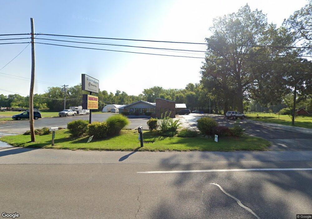
12188 W State Road 54 Linton, IN 47441
Estimated Value: $207,000 - $262,000
--
Bed
--
Bath
8,132
Sq Ft
$28/Sq Ft
Est. Value
About This Home
This home is located at 12188 W State Road 54, Linton, IN 47441 and is currently estimated at $228,097, approximately $28 per square foot. 12188 W State Road 54 is a home located in Greene County with nearby schools including Linton-Stockton Elementary School, Linton-Stockton Junior High School, and Linton-Stockton High School.
Ownership History
Date
Name
Owned For
Owner Type
Purchase Details
Closed on
Feb 10, 2017
Sold by
Lily Pond Llc
Bought by
Orr Charles
Current Estimated Value
Purchase Details
Closed on
Nov 9, 2016
Sold by
Wring Smokehouse Llc
Bought by
Lily Pond Llc
Purchase Details
Closed on
Nov 13, 2014
Sold by
Stolls Country Inn Inc
Bought by
Wrings Smokehouse Llc
Home Financials for this Owner
Home Financials are based on the most recent Mortgage that was taken out on this home.
Original Mortgage
$347,800
Interest Rate
3.97%
Mortgage Type
Commercial
Create a Home Valuation Report for This Property
The Home Valuation Report is an in-depth analysis detailing your home's value as well as a comparison with similar homes in the area
Home Values in the Area
Average Home Value in this Area
Purchase History
| Date | Buyer | Sale Price | Title Company |
|---|---|---|---|
| Orr Charles | -- | -- | |
| Lily Pond Llc | -- | -- | |
| Wrings Smokehouse Llc | -- | -- | |
| Wrings Smokehouse Llc | -- | -- |
Source: Public Records
Mortgage History
| Date | Status | Borrower | Loan Amount |
|---|---|---|---|
| Previous Owner | Wrings Smokehouse Llc | $347,800 |
Source: Public Records
Tax History Compared to Growth
Tax History
| Year | Tax Paid | Tax Assessment Tax Assessment Total Assessment is a certain percentage of the fair market value that is determined by local assessors to be the total taxable value of land and additions on the property. | Land | Improvement |
|---|---|---|---|---|
| 2024 | $5,140 | $204,100 | $64,500 | $139,600 |
| 2023 | $5,024 | $202,500 | $64,500 | $138,000 |
| 2022 | $5,026 | $165,700 | $66,700 | $99,000 |
| 2021 | $4,109 | $148,700 | $60,300 | $88,400 |
| 2020 | $3,887 | $148,700 | $60,300 | $88,400 |
| 2019 | $4,183 | $149,700 | $60,300 | $89,400 |
| 2018 | $4,120 | $155,600 | $59,100 | $96,500 |
| 2017 | $6,482 | $251,700 | $77,800 | $173,900 |
| 2016 | $6,148 | $276,500 | $77,800 | $198,700 |
| 2014 | $5,931 | $267,000 | $77,800 | $189,200 |
| 2013 | -- | $265,700 | $77,800 | $187,900 |
Source: Public Records
Map
Nearby Homes
- 12175 W State Road 54
- 12156 W State Road 54
- 12215 W State Road 54
- 12151 W State Road 54
- 12127 W State Road 54
- 12237 W State Road 54
- 12125 W State Road 54
- 12127 Indiana 54
- 1734 N 1300 W
- 12292 Indiana 54
- 12292 W State Road 54
- 1712 N 1300 W
- 1828 N 1300 W
- 1937 N 1275 W
- 12317 W State Road 54
- 1888 N 1300 W
- 1735 N 1300 W
- 1831 N 1300 W
- 1976 N 1275 W
- 1655 N 1300 W