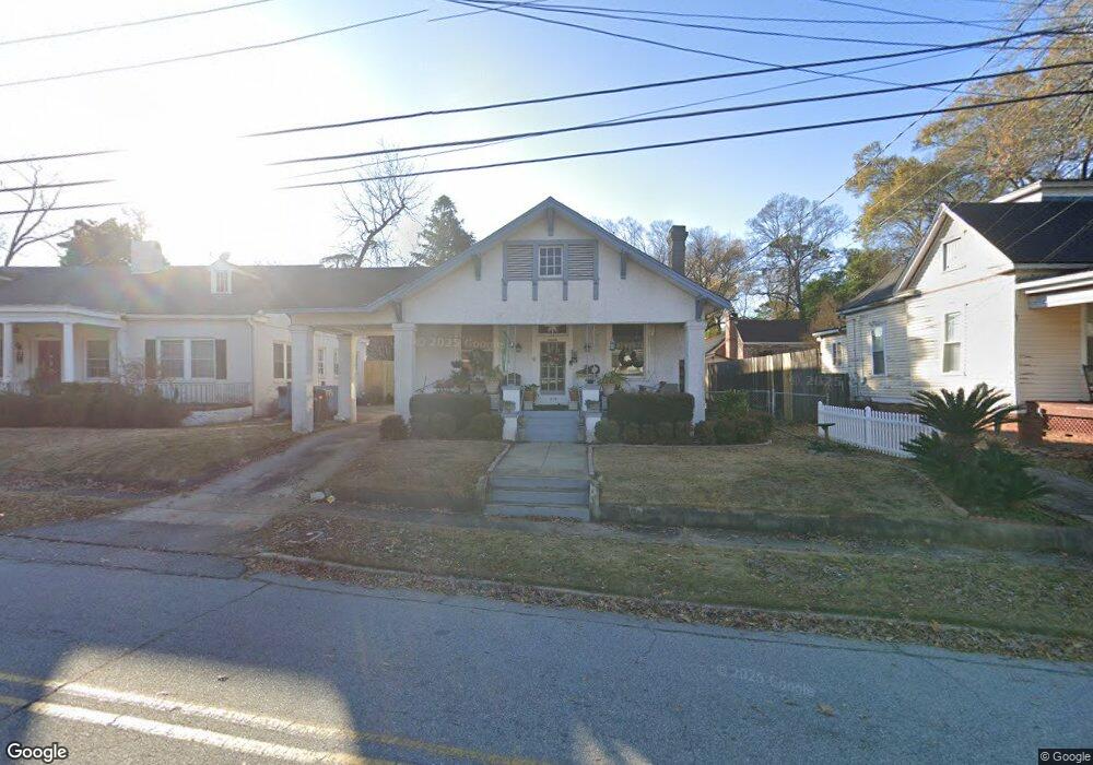
1219 18th Ave Columbus, GA 31906
Wynnton Village NeighborhoodEstimated Value: $141,000 - $162,000
3
Beds
4
Baths
1,260
Sq Ft
$121/Sq Ft
Est. Value
About This Home
This home is located at 1219 18th Ave, Columbus, GA 31906 and is currently estimated at $151,886, approximately $120 per square foot. 1219 18th Ave is a home located in Muscogee County with nearby schools including Richards Middle School, Hardaway High School, and Wynnton Elementary School.
Ownership History
Date
Name
Owned For
Owner Type
Purchase Details
Closed on
Sep 6, 2024
Sold by
Godson Margaret Patricia Baker and Gosden Margaret Patricia
Bought by
Gosden Margaret Patricia Bak and Godson Margaret Patricia
Current Estimated Value
Create a Home Valuation Report for This Property
The Home Valuation Report is an in-depth analysis detailing your home's value as well as a comparison with similar homes in the area
Home Values in the Area
Average Home Value in this Area
Purchase History
| Date | Buyer | Sale Price | Title Company |
|---|---|---|---|
| Gosden Margaret Patricia Bak | -- | None Listed On Document |
Source: Public Records
Tax History
| Year | Tax Paid | Tax Assessment Tax Assessment Total Assessment is a certain percentage of the fair market value that is determined by local assessors to be the total taxable value of land and additions on the property. | Land | Improvement |
|---|---|---|---|---|
| 2025 | $160 | $54,328 | $9,696 | $44,632 |
| 2024 | -- | $54,328 | $9,696 | $44,632 |
| 2023 | $166 | $54,328 | $9,696 | $44,632 |
| 2022 | $166 | $42,460 | $9,696 | $32,764 |
| 2021 | $159 | $40,716 | $9,696 | $31,020 |
| 2020 | $159 | $40,716 | $9,696 | $31,020 |
| 2019 | $161 | $40,716 | $9,696 | $31,020 |
| 2018 | $161 | $40,716 | $9,696 | $31,020 |
| 2017 | $163 | $40,716 | $9,696 | $31,020 |
| 2016 | $165 | $19,404 | $3,360 | $16,044 |
| 2015 | $166 | $19,404 | $3,360 | $16,044 |
| 2014 | $167 | $19,404 | $3,360 | $16,044 |
| 2013 | -- | $19,404 | $3,360 | $16,044 |
Source: Public Records
Map
Nearby Homes
- 1242 18th Ave
- 1254 18th Ave
- 2551 Wynnton Rd
- 1500 E Dinglewood Dr
- 1000 Peachtree Dr
- 1504 17th Ave
- 1814 Elmwood Dr
- 1011 Blandford Ave
- 2000 Poplar Dr
- 1533 15th Ave
- 1557 18th Ave
- 2133 13th St
- 2134 13th St
- 1333 Springer St
- 1701 Crest Dr
- 1342 16th St
- 911 Oakview Ave
- 912 Magnolia Ave
- 1348 Rhodes St
- 1641 16th Ave
- 1225 18th Ave
- 1703 12th St Unit F
- 1703 12th St Unit F
- 1719 12th St
- 1214 18th Ave
- 1220 16th Ave
- 1220 18th Ave
- 1708 Richards St
- 1702 Richards St
- 1708 Richard St
- 1712 Richards St Unit A
- 1712 Richards St Unit B
- 1712 Richards St
- 1712 Richard St
- 1226 18th Ave Unit A/B
- 1226 18th Ave
- 1208 18th Ave
- 1700 Richards St
- 1202 18th Ave
- 1610 Richards St
Your Personal Tour Guide
Ask me questions while you tour the home.