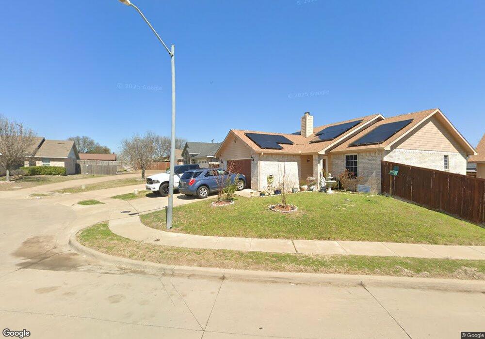
1219 Cleardale Dr Dallas, TX 75232
Redbird NeighborhoodEstimated Value: $245,000 - $276,000
3
Beds
2
Baths
1,768
Sq Ft
$150/Sq Ft
Est. Value
About This Home
This home is located at 1219 Cleardale Dr, Dallas, TX 75232 and is currently estimated at $264,588, approximately $149 per square foot. 1219 Cleardale Dr is a home located in Dallas County with nearby schools including Birdie Alexander Elementary School, W.H. Atwell Fundamental Academy, and David W. Carter High School.
Ownership History
Date
Name
Owned For
Owner Type
Purchase Details
Closed on
Sep 9, 2020
Sold by
Mcdonald Rhonda S and Mcdonald Rhonda Shalette
Bought by
Huff George
Current Estimated Value
Home Financials for this Owner
Home Financials are based on the most recent Mortgage that was taken out on this home.
Original Mortgage
$178,703
Outstanding Balance
$158,227
Interest Rate
2.9%
Mortgage Type
FHA
Estimated Equity
$106,361
Purchase Details
Closed on
Aug 14, 2012
Sold by
Mcdonald Dilton
Bought by
Mcdonald Rhondas
Purchase Details
Closed on
Oct 7, 2004
Sold by
Choice Homes Inc
Bought by
Mcdonald Dilton and Mcdonald Rhonda S
Home Financials for this Owner
Home Financials are based on the most recent Mortgage that was taken out on this home.
Original Mortgage
$126,500
Interest Rate
5.8%
Mortgage Type
FHA
Create a Home Valuation Report for This Property
The Home Valuation Report is an in-depth analysis detailing your home's value as well as a comparison with similar homes in the area
Home Values in the Area
Average Home Value in this Area
Purchase History
| Date | Buyer | Sale Price | Title Company |
|---|---|---|---|
| Huff George | -- | Providence Title Company | |
| Mcdonald Rhondas | -- | None Available | |
| Mcdonald Dilton | -- | -- |
Source: Public Records
Mortgage History
| Date | Status | Borrower | Loan Amount |
|---|---|---|---|
| Open | Huff George | $178,703 | |
| Previous Owner | Mcdonald Dilton | $126,500 |
Source: Public Records
Tax History Compared to Growth
Tax History
| Year | Tax Paid | Tax Assessment Tax Assessment Total Assessment is a certain percentage of the fair market value that is determined by local assessors to be the total taxable value of land and additions on the property. | Land | Improvement |
|---|---|---|---|---|
| 2025 | $5,937 | $265,630 | $60,000 | $205,630 |
| 2024 | $5,937 | $265,630 | $60,000 | $205,630 |
| 2023 | $5,937 | $228,340 | $60,000 | $168,340 |
| 2022 | $4,689 | $187,550 | $35,000 | $152,550 |
| 2021 | $4,948 | $187,550 | $35,000 | $152,550 |
| 2020 | $4,855 | $178,950 | $25,000 | $153,950 |
| 2019 | $5,092 | $178,950 | $25,000 | $153,950 |
| 2018 | $4,018 | $147,770 | $25,000 | $122,770 |
| 2017 | $3,336 | $122,670 | $15,000 | $107,670 |
| 2016 | $3,336 | $122,670 | $15,000 | $107,670 |
| 2015 | $1,647 | $91,610 | $15,000 | $76,610 |
| 2014 | $1,647 | $79,190 | $15,000 | $64,190 |
Source: Public Records
Map
Nearby Homes
- 930 Cleardale Dr
- 7850 Mirage Valley Dr
- 7835 Woodshire Dr
- 8020 Meagan Way
- 1315 Aldenwood Dr
- 7815 Woodshire Dr
- 7810 Larchridge Dr
- 1411 E Kirnwood Dr
- 839 Jadewood Dr
- 7904 Silverdale Dr
- 618 Cleardale Dr
- 765 Ivywood Dr
- 542 Shadyway Dr
- 751 Ivywood Dr
- 776 Goldwood Dr
- 786 Fairwood Dr
- 722 Havenwood Dr
- 740 Goldwood Dr
- 818 Emberwood Dr
- 729 Goldwood Dr
- 1223 Cleardale Dr
- 1215 Cleardale Dr
- 8005 Marielle Cir
- 1227 Cleardale Dr
- 8001 Marielle Cir
- 8009 Marielle Cir
- 1231 Cleardale Dr
- 1226 Mill Stream Dr
- 1222 Mill Stream Dr
- 1232 Mill Stream Dr
- 8010 Cassie Ct
- 8011 Cassie Ct
- 1216 Mill Stream Dr
- 8010 Cassie Ann Ct
- 1235 Cleardale Dr
- 8002 Marielle Cir
- 1236 Mill Stream Dr
- 8013 Marielle Cir
- 1212 Mill Stream Dr
- 8014 Cassie Ct