1219 Foxboro Dr Norwalk, CT 06851
Cranbury NeighborhoodEstimated Value: $708,539 - $809,000
2
Beds
3
Baths
2,173
Sq Ft
$349/Sq Ft
Est. Value
About This Home
This home is located at 1219 Foxboro Dr, Norwalk, CT 06851 and is currently estimated at $757,385, approximately $348 per square foot. 1219 Foxboro Dr is a home located in Fairfield County with nearby schools including Cranbury Elementary School, West Rocks Middle School, and Norwalk High School.
Ownership History
Date
Name
Owned For
Owner Type
Purchase Details
Closed on
Apr 26, 2016
Sold by
Colburn Rodney
Bought by
Vancho James and Vancho Juliann
Current Estimated Value
Purchase Details
Closed on
Dec 16, 1991
Sold by
Baker Firestone Lp
Bought by
Colburn Rodney and Colburn Yolande
Create a Home Valuation Report for This Property
The Home Valuation Report is an in-depth analysis detailing your home's value as well as a comparison with similar homes in the area
Home Values in the Area
Average Home Value in this Area
Purchase History
| Date | Buyer | Sale Price | Title Company |
|---|---|---|---|
| Vancho James | $550,000 | -- | |
| Vancho James | -- | -- | |
| Vancho James | $550,000 | -- | |
| Colburn Rodney | $263,403 | -- |
Source: Public Records
Mortgage History
| Date | Status | Borrower | Loan Amount |
|---|---|---|---|
| Previous Owner | Colburn Rodney | $412,000 | |
| Previous Owner | Colburn Rodney | $465,000 |
Source: Public Records
Tax History Compared to Growth
Tax History
| Year | Tax Paid | Tax Assessment Tax Assessment Total Assessment is a certain percentage of the fair market value that is determined by local assessors to be the total taxable value of land and additions on the property. | Land | Improvement |
|---|---|---|---|---|
| 2025 | $10,656 | $448,880 | $189,080 | $259,800 |
| 2024 | $10,493 | $448,880 | $189,080 | $259,800 |
| 2023 | $10,059 | $402,900 | $173,320 | $229,580 |
| 2022 | $9,901 | $402,900 | $173,320 | $229,580 |
| 2021 | $8,425 | $402,900 | $173,320 | $229,580 |
| 2020 | $9,511 | $402,900 | $173,320 | $229,580 |
| 2019 | $9,390 | $402,900 | $173,320 | $229,580 |
| 2018 | $10,154 | $391,610 | $179,670 | $211,940 |
| 2017 | $9,800 | $391,610 | $179,670 | $211,940 |
| 2016 | $9,979 | $392,270 | $179,670 | $212,600 |
| 2015 | $8,948 | $391,610 | $179,670 | $211,940 |
| 2014 | $9,806 | $391,610 | $179,670 | $211,940 |
Source: Public Records
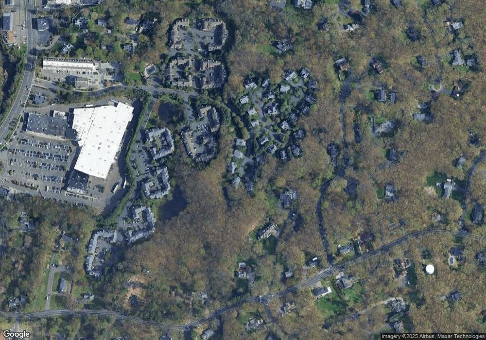
Map
Nearby Homes
- 510 Foxboro Dr
- 123 Old Belden Hill Rd Unit 40
- 20 Newsome Ln
- 28 Village Ct
- 515 Belden Hill Rd
- 29 Grumman Ave
- 442 Main Ave Unit A5
- 190 E Rocks Rd
- 105 Danbury Rd
- 35 Mohawk Dr
- 41 Mohawk Dr
- 180 E Rocks Rd
- 66 Valley View Rd
- 35 Glenrock
- 70 Winding Ln
- 49 Glenrock
- 27 Stonecrop Rd
- 45 Lambert Common Unit 45
- 54 Linden St
- 32 Thistle Rd
- 1225 Foxboro Dr
- 1224 Foxboro Dr
- 1223 Foxboro Dr
- 1222 Foxboro Dr
- 1221 Foxboro Dr
- 1220 Foxboro Dr
- 1218 Foxboro Dr
- 1217 Foxboro Dr
- 1216 Foxboro Dr
- 1215 Foxboro Dr
- 1214 Foxboro Dr
- 1213 Foxboro Dr
- 1212 Foxboro Dr
- 1211 Foxboro Dr
- 1210 Foxboro Dr
- 1209 Foxboro Dr
- 1208 Foxboro Dr
- 1207 Foxboro Dr
- 1206 Foxboro Dr
- 1205 Foxboro Dr