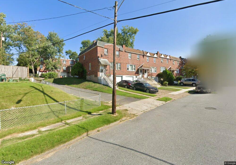
1219 Harshaw Rd Brookhaven, PA 19015
Estimated Value: $217,691 - $246,000
3
Beds
2
Baths
1,520
Sq Ft
$152/Sq Ft
Est. Value
About This Home
This home is located at 1219 Harshaw Rd, Brookhaven, PA 19015 and is currently estimated at $230,923, approximately $151 per square foot. 1219 Harshaw Rd is a home located in Delaware County with nearby schools including The Christian Academy and Institute of Islamic Studies.
Ownership History
Date
Name
Owned For
Owner Type
Purchase Details
Closed on
Jan 28, 2000
Sold by
Milewski Paul J and Milewski Sarah J
Bought by
Axsom Renee J
Current Estimated Value
Home Financials for this Owner
Home Financials are based on the most recent Mortgage that was taken out on this home.
Original Mortgage
$55,971
Outstanding Balance
$18,164
Interest Rate
7.91%
Mortgage Type
FHA
Estimated Equity
$212,759
Purchase Details
Closed on
Sep 22, 1995
Sold by
Milewski Paul J and Milewski Sarah J
Bought by
Milewski Paul J and Milewski Sarah J
Home Financials for this Owner
Home Financials are based on the most recent Mortgage that was taken out on this home.
Original Mortgage
$39,900
Interest Rate
7.81%
Mortgage Type
Purchase Money Mortgage
Purchase Details
Closed on
Jul 10, 1995
Sold by
G E Capital Mtg Services Inc
Bought by
Milewski Paul J
Purchase Details
Closed on
Mar 30, 1995
Sold by
Osborne Ann
Bought by
G E Capital Mtg Services Inc
Create a Home Valuation Report for This Property
The Home Valuation Report is an in-depth analysis detailing your home's value as well as a comparison with similar homes in the area
Home Values in the Area
Average Home Value in this Area
Purchase History
| Date | Buyer | Sale Price | Title Company |
|---|---|---|---|
| Axsom Renee J | $56,000 | Commonwealth Land Title Ins | |
| Milewski Paul J | -- | -- | |
| Milewski Paul J | $27,500 | -- | |
| G E Capital Mtg Services Inc | -- | -- |
Source: Public Records
Mortgage History
| Date | Status | Borrower | Loan Amount |
|---|---|---|---|
| Open | Axsom Renee J | $55,971 | |
| Previous Owner | Milewski Paul J | $39,900 |
Source: Public Records
Tax History
| Year | Tax Paid | Tax Assessment Tax Assessment Total Assessment is a certain percentage of the fair market value that is determined by local assessors to be the total taxable value of land and additions on the property. | Land | Improvement |
|---|---|---|---|---|
| 2025 | $1,678 | $72,630 | $18,810 | $53,820 |
| 2024 | $1,678 | $72,630 | $18,810 | $53,820 |
| 2023 | $1,737 | $72,630 | $18,810 | $53,820 |
| 2022 | $1,774 | $72,630 | $18,810 | $53,820 |
| 2021 | $2,583 | $72,630 | $18,810 | $53,820 |
| 2020 | $2,336 | $53,920 | $13,720 | $40,200 |
| 2019 | $2,341 | $53,920 | $13,720 | $40,200 |
| 2018 | $2,313 | $53,920 | $0 | $0 |
| 2017 | $2,219 | $53,920 | $0 | $0 |
| 2016 | $296 | $53,920 | $0 | $0 |
| 2015 | $296 | $53,920 | $0 | $0 |
| 2014 | $296 | $53,920 | $0 | $0 |
Source: Public Records
Map
Nearby Homes
- 1216 Harshaw Rd
- 3711 Powell Rd
- 1346 Rainer Rd
- 1356 Adair Rd
- 4029 Gideon Rd
- 3727 6th St
- 4026 Gideon Rd
- 1513 Rainer Rd
- 280 Bridgewater Rd Unit D-4
- 280 Bridgewater Rd Unit D1
- 280 Bridgewater Rd Unit D10
- 00 S Springhouse Ln
- 215 8th St
- 4 3rd St
- 27 Upland Ave
- 0 Brookhaven & Creek Rd Unit PADE2084418
- 1007 Woodside Ave
- 900 Main St
- 213 Beatrice Ln
- 220 10th St
Your Personal Tour Guide
Ask me questions while you tour the home.