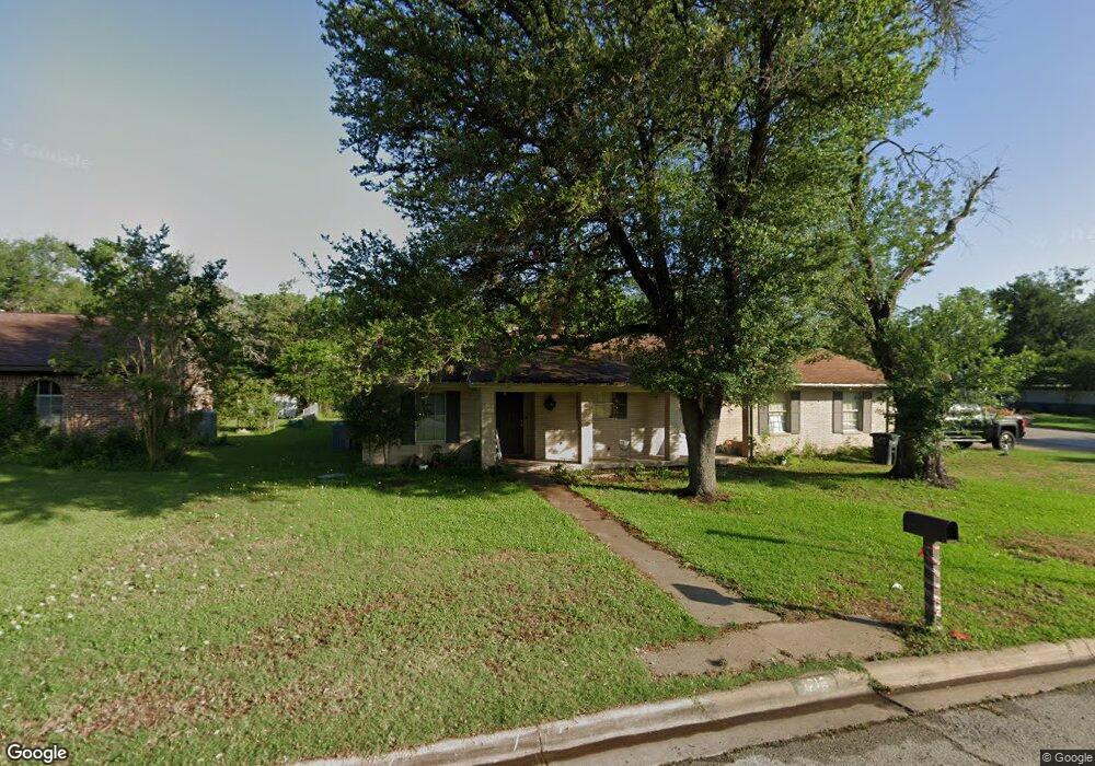
1219 King Arthur Cir College Station, TX 77840
South Knoll NeighborhoodEstimated Value: $282,404 - $322,000
--
Bed
--
Bath
1,701
Sq Ft
$179/Sq Ft
Est. Value
About This Home
This home is located at 1219 King Arthur Cir, College Station, TX 77840 and is currently estimated at $303,851, approximately $178 per square foot. 1219 King Arthur Cir is a home located in Brazos County with nearby schools including South Knoll Elementary School, A&M Consolidated Middle School, and Oakwood Intermediate School.
Ownership History
Date
Name
Owned For
Owner Type
Purchase Details
Closed on
Aug 20, 2020
Sold by
Mj Construction Llc
Bought by
Miranda Adain Santana and Miranda Patricia Salgado
Current Estimated Value
Home Financials for this Owner
Home Financials are based on the most recent Mortgage that was taken out on this home.
Original Mortgage
$210,000
Outstanding Balance
$186,285
Interest Rate
3%
Mortgage Type
Seller Take Back
Estimated Equity
$117,566
Purchase Details
Closed on
Apr 19, 2012
Sold by
Hosey Kirby W
Bought by
Mj Construction Llc
Home Financials for this Owner
Home Financials are based on the most recent Mortgage that was taken out on this home.
Original Mortgage
$122,000
Interest Rate
3.92%
Mortgage Type
Purchase Money Mortgage
Create a Home Valuation Report for This Property
The Home Valuation Report is an in-depth analysis detailing your home's value as well as a comparison with similar homes in the area
Home Values in the Area
Average Home Value in this Area
Purchase History
| Date | Buyer | Sale Price | Title Company |
|---|---|---|---|
| Miranda Adain Santana | -- | None Available | |
| Mj Construction Llc | -- | Aggieland Title Company |
Source: Public Records
Mortgage History
| Date | Status | Borrower | Loan Amount |
|---|---|---|---|
| Open | Miranda Adain Santana | $210,000 | |
| Previous Owner | Mj Construction Llc | $122,000 |
Source: Public Records
Tax History Compared to Growth
Tax History
| Year | Tax Paid | Tax Assessment Tax Assessment Total Assessment is a certain percentage of the fair market value that is determined by local assessors to be the total taxable value of land and additions on the property. | Land | Improvement |
|---|---|---|---|---|
| 2025 | $5,607 | $291,120 | $59,000 | $232,120 |
| 2024 | $5,607 | $294,205 | $57,750 | $236,455 |
| 2023 | $5,607 | $298,261 | $57,750 | $240,511 |
| 2022 | $4,927 | $231,104 | $52,500 | $178,604 |
| 2021 | $4,604 | $203,862 | $52,500 | $151,362 |
| 2020 | $4,196 | $184,738 | $52,500 | $132,238 |
| 2019 | $4,228 | $178,950 | $50,000 | $128,950 |
| 2018 | $4,307 | $180,940 | $50,000 | $130,940 |
| 2017 | $3,965 | $168,470 | $50,000 | $118,470 |
| 2016 | $3,703 | $157,320 | $40,000 | $117,320 |
| 2015 | $3,411 | $153,470 | $40,000 | $113,470 |
| 2014 | $3,411 | $147,170 | $40,000 | $107,170 |
Source: Public Records
Map
Nearby Homes
- 1818 Langford St
- 1810 Laura Ln
- 1817 Laura Ln
- 1801 Langford St
- 1205 King Arthur Cir
- 1712 Glade St
- 1700 Laura Ln Unit CS
- 1601 Langford St
- 2148 Big River St
- 2001 Nueces Dr
- 2156 Big River St
- 2154 Big River St
- 2152 Big River St
- 2150 Big River St
- 2142 Big River St
- 2146 Big River St
- 2144 Big River St
- 1808 Potomac Place Unit AD
- 1808 Potomac Place Unit A
- 1810 Potomac Place Unit AD
- 1217 King Arthur Cir
- 1820 Langford St
- 1821 Langford St
- 1215 King Arthur Cir
- 1900 Langford St
- 1819 Langford St Unit A
- 1819 Langford St
- 1216 King Arthur Cir
- 1905 Lawyer Place
- 1901 Langford St
- 1910 Bee Creek Dr
- 1213 King Arthur Cir
- 1816 Langford St
- 1214 King Arthur Cir
- 1814 Langford St
- 1903 Langford St
- 1817 Langford St
- 1212 King Arthur Cir
- 1211 King Arthur Cir
- 1822 Laura Ln