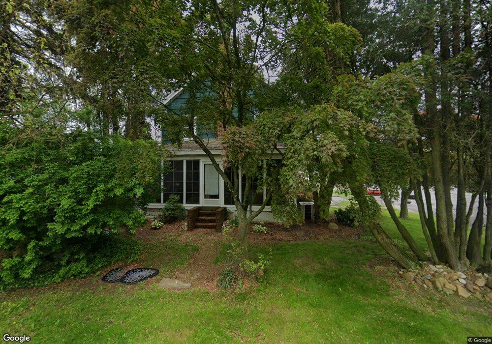
1219 Newport Rd Bristol, PA 19007
Estimated Value: $326,000 - $456,000
--
Bed
2
Baths
2,080
Sq Ft
$196/Sq Ft
Est. Value
About This Home
This home is located at 1219 Newport Rd, Bristol, PA 19007 and is currently estimated at $406,927, approximately $195 per square foot. 1219 Newport Rd is a home located in Bucks County with nearby schools including Truman Senior High School, Doane Academy, and St. Mark Elementary School.
Ownership History
Date
Name
Owned For
Owner Type
Purchase Details
Closed on
Jul 9, 1999
Sold by
Baker Robert A and Baker Barbara D
Bought by
Hodges Steven C and Hodges Cathy L
Current Estimated Value
Home Financials for this Owner
Home Financials are based on the most recent Mortgage that was taken out on this home.
Original Mortgage
$144,019
Outstanding Balance
$40,118
Interest Rate
7.49%
Mortgage Type
FHA
Estimated Equity
$366,809
Purchase Details
Closed on
May 24, 1984
Bought by
Baker Robert A and Baker Barbara D
Create a Home Valuation Report for This Property
The Home Valuation Report is an in-depth analysis detailing your home's value as well as a comparison with similar homes in the area
Home Values in the Area
Average Home Value in this Area
Purchase History
| Date | Buyer | Sale Price | Title Company |
|---|---|---|---|
| Hodges Steven C | $145,000 | Lawyers Title Insurance Corp | |
| Baker Robert A | $56,000 | -- |
Source: Public Records
Mortgage History
| Date | Status | Borrower | Loan Amount |
|---|---|---|---|
| Open | Hodges Steven C | $144,019 |
Source: Public Records
Tax History Compared to Growth
Tax History
| Year | Tax Paid | Tax Assessment Tax Assessment Total Assessment is a certain percentage of the fair market value that is determined by local assessors to be the total taxable value of land and additions on the property. | Land | Improvement |
|---|---|---|---|---|
| 2025 | $6,436 | $23,700 | $8,480 | $15,220 |
| 2024 | $6,436 | $23,700 | $8,480 | $15,220 |
| 2023 | $6,389 | $23,700 | $8,480 | $15,220 |
| 2022 | $6,389 | $23,700 | $8,480 | $15,220 |
| 2021 | $6,389 | $23,700 | $8,480 | $15,220 |
| 2020 | $5,931 | $22,000 | $8,480 | $13,520 |
| 2019 | $5,909 | $22,000 | $8,480 | $13,520 |
| 2018 | $5,814 | $22,000 | $8,480 | $13,520 |
| 2017 | $5,725 | $22,000 | $8,480 | $13,520 |
| 2016 | $5,725 | $22,000 | $8,480 | $13,520 |
| 2015 | $4,166 | $22,000 | $8,480 | $13,520 |
| 2014 | $4,166 | $22,000 | $8,480 | $13,520 |
Source: Public Records
Map
Nearby Homes
- 1 McLevins Ct
- 1012 Franklin Ave
- 2915 Lawnton Ave
- 1503 Moore St Unit 102
- 2057 Garfield Ave
- 3303 Glenrose Ave
- 807 Arthur Ave
- 1719 Dixon Ave
- 3517 Rockview Dr
- 1313 Wynfield Ave
- 3525 Dixon Ave
- 302 Grant Ave
- 307 Western Ave
- 2307 State Rd
- 0 Newportville Rd Unit PABU487252
- 801 Cliff Rd
- 819 Central Ave
- 906 Stephen Ave
- L:15 Dunston Rd
- 804 Winder Dr
- 1211 Newport Rd
- 2341 Beaver Ave
- 2335 Beaver Ave
- 1220 Newport Rd
- 2900 Glenrose Ave
- 1201 Newport Rd
- 1230 Newport Rd
- 2911 Glenrose Ave
- 2901 Bancroft Ave
- 2906 Lansdowne Ave
- 1307 Newport Rd
- 1306 Newport Rd
- 2910 Lansdowne Ave
- 1200 Newport Rd
- 2915 Glenrose Ave
- 2160 Prospect Ave
- 2156 Prospect Ave
- 2902 Bancroft Ave
- 2300 Prospect Ave
- 2916 Lansdowne Ave