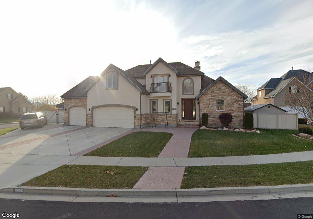
1219 S 1250 E Spanish Fork, UT 84660
Estimated Value: $706,000 - $751,000
6
Beds
4
Baths
4,022
Sq Ft
$179/Sq Ft
Est. Value
About This Home
This home is located at 1219 S 1250 E, Spanish Fork, UT 84660 and is currently estimated at $721,509, approximately $179 per square foot. 1219 S 1250 E is a home located in Utah County with nearby schools including Canyon Elementary School, Spanish Fork Jr High School, and Spanish Fork High School.
Ownership History
Date
Name
Owned For
Owner Type
Purchase Details
Closed on
May 24, 2022
Sold by
Joel Luccion
Bought by
Luccion Joel and Luccion Shamayne
Current Estimated Value
Home Financials for this Owner
Home Financials are based on the most recent Mortgage that was taken out on this home.
Original Mortgage
$600,000
Outstanding Balance
$567,840
Interest Rate
5%
Mortgage Type
New Conventional
Estimated Equity
$153,669
Purchase Details
Closed on
Jul 28, 2017
Sold by
Mickey Donald E and Mickey Kathleen M
Bought by
Stimpson Brian and Stimpson Claudia
Home Financials for this Owner
Home Financials are based on the most recent Mortgage that was taken out on this home.
Original Mortgage
$285,000
Interest Rate
3.91%
Purchase Details
Closed on
Jun 10, 2003
Sold by
M & A Development Lc
Bought by
Jex Kent T
Create a Home Valuation Report for This Property
The Home Valuation Report is an in-depth analysis detailing your home's value as well as a comparison with similar homes in the area
Home Values in the Area
Average Home Value in this Area
Purchase History
| Date | Buyer | Sale Price | Title Company |
|---|---|---|---|
| Luccion Joel | -- | Title Guarantee | |
| Luccion Joel | -- | Title Guarantee | |
| Stimpson Brian | -- | First Title Ins Agency | |
| Jex Kent T | -- | Sundance Title Insurance Ag |
Source: Public Records
Mortgage History
| Date | Status | Borrower | Loan Amount |
|---|---|---|---|
| Open | Luccion Joel | $600,000 | |
| Previous Owner | Stimpson Brian | $285,000 |
Source: Public Records
Tax History
| Year | Tax Paid | Tax Assessment Tax Assessment Total Assessment is a certain percentage of the fair market value that is determined by local assessors to be the total taxable value of land and additions on the property. | Land | Improvement |
|---|---|---|---|---|
| 2025 | $3,036 | $357,225 | -- | -- |
| 2024 | $3,036 | $312,950 | $0 | $0 |
| 2023 | $3,079 | $317,735 | $0 | $0 |
| 2022 | $3,139 | $317,680 | $0 | $0 |
| 2021 | $2,775 | $449,300 | $111,400 | $337,900 |
| 2020 | $2,577 | $405,700 | $101,300 | $304,400 |
| 2019 | $2,416 | $400,100 | $95,700 | $304,400 |
| 2018 | $2,428 | $388,700 | $88,600 | $300,100 |
| 2017 | $2,362 | $203,225 | $0 | $0 |
| 2016 | $2,243 | $190,465 | $0 | $0 |
| 2015 | $2,034 | $170,610 | $0 | $0 |
| 2014 | $1,930 | $162,470 | $0 | $0 |
Source: Public Records
Map
Nearby Homes
- 1025 S 3100 E Unit 320
- 1110 E 1025 S
- 886 S 1240 E
- 857 S 1300 E Unit 32
- 857 S 1300 E
- 1147 S 1660 E
- 232 E 860 S Unit 158
- 222 E 860 S Unit 154
- 834 S 1300 #16gc E
- 816 S 1300 #15gc E
- 815 S 1300 E Unit 34
- 993 S 1660 E
- 789 S 1300 E
- 762 S 1360 E
- 762 S 1360 E Unit 25
- 1687 E 1000 S
- 2308 E 850 South St Unit 10
- 938 S 1740 E
- 357 E 1460 S Unit 45
- 385 E 1460 S Unit 47
Your Personal Tour Guide
Ask me questions while you tour the home.