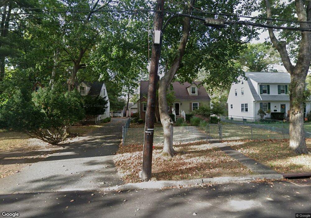
1219 S End Pkwy Unit 21 Plainfield, NJ 07060
Estimated Value: $449,961 - $528,000
--
Bed
--
Bath
930
Sq Ft
$519/Sq Ft
Est. Value
About This Home
This home is located at 1219 S End Pkwy Unit 21, Plainfield, NJ 07060 and is currently estimated at $482,990, approximately $519 per square foot. 1219 S End Pkwy Unit 21 is a home located in Union County with nearby schools including Evergreen Elementary School, Maxson Middle School, and Plainfield High School.
Ownership History
Date
Name
Owned For
Owner Type
Purchase Details
Closed on
Sep 26, 2003
Sold by
Lewis Brnsin
Bought by
Dismukes Reuben
Current Estimated Value
Home Financials for this Owner
Home Financials are based on the most recent Mortgage that was taken out on this home.
Original Mortgage
$223,155
Interest Rate
5.96%
Purchase Details
Closed on
Mar 29, 1999
Sold by
Adams Jill
Bought by
Brinson Lewis
Home Financials for this Owner
Home Financials are based on the most recent Mortgage that was taken out on this home.
Original Mortgage
$103,900
Interest Rate
6.78%
Mortgage Type
FHA
Create a Home Valuation Report for This Property
The Home Valuation Report is an in-depth analysis detailing your home's value as well as a comparison with similar homes in the area
Home Values in the Area
Average Home Value in this Area
Purchase History
| Date | Buyer | Sale Price | Title Company |
|---|---|---|---|
| Dismukes Reuben | $234,900 | -- | |
| Brinson Lewis | $107,000 | -- |
Source: Public Records
Mortgage History
| Date | Status | Borrower | Loan Amount |
|---|---|---|---|
| Previous Owner | Dismukes Reuben | $223,155 | |
| Previous Owner | Brinson Lewis | $103,900 |
Source: Public Records
Tax History Compared to Growth
Tax History
| Year | Tax Paid | Tax Assessment Tax Assessment Total Assessment is a certain percentage of the fair market value that is determined by local assessors to be the total taxable value of land and additions on the property. | Land | Improvement |
|---|---|---|---|---|
| 2025 | $10,505 | $120,300 | $43,600 | $76,700 |
| 2024 | $10,401 | $120,300 | $43,600 | $76,700 |
| 2023 | $10,401 | $120,300 | $43,600 | $76,700 |
| 2022 | $10,176 | $120,300 | $43,600 | $76,700 |
| 2021 | $10,087 | $120,300 | $43,600 | $76,700 |
| 2020 | $10,058 | $120,300 | $43,600 | $76,700 |
| 2019 | $10,058 | $120,300 | $43,600 | $76,700 |
| 2018 | $9,848 | $120,300 | $43,600 | $76,700 |
| 2017 | $9,607 | $120,300 | $43,600 | $76,700 |
| 2016 | $9,411 | $120,300 | $43,600 | $76,700 |
| 2015 | $9,133 | $120,300 | $43,600 | $76,700 |
| 2014 | $8,885 | $120,300 | $43,600 | $76,700 |
Source: Public Records
Map
Nearby Homes
- 1339 Park Ave Unit 41
- 1349 Park Ave Unit 53
- 1208 Moffett Ave Unit 12
- 1360 Belleview Ave Unit 64
- 1388 Belleview Ave Unit 90
- 1454 S End Pkwy Unit 56
- 1143 Stilford Ave Unit 45
- 1143-45 Stilford Ave
- 117 Golf Ave E
- 77 Parkside Rd Unit 89
- 115 Ellsworth Ct Unit 17
- 221 Golf Ave E
- 1358 Marlborough Ave Unit 60
- 245 Golf Ave E
- 125 Redding Ave
- 1354 Chetwynd Ave Unit 58
- 132 Parkside Rd
- 1066 Allenwood Dr
- 1905 Park Ave
- 127 Remington Ave Unit 31
- 1215 S End Pkwy Unit 17
- 1223 S End Pkwy Unit 27
- 1335 Park Ave Unit 37
- 1214 Hazel Ave Unit 18
- 1331 Park Ave Unit 33
- 1220 Hazel Ave Unit 26
- 1229 S End Pkwy Unit 35
- 1210 S End Pkwy Unit 14
- 1216 S End Pkwy Unit 18
- 1218 S End Pkwy
- 1327 Park Ave Unit 29
- 1345 Park Ave Unit 47
- 1228 Hazel Ave Unit 34
- 1220 S End Pkwy Unit 22
- 1308 Marion Ave Unit 10
- 1323 Park Ave Unit 25
- 1224 S End Pkwy Unit 26
- 1304 Marion Ave Unit 6
- 1307 Murray Ave Unit 9
- 1228 S End Pkwy Unit 30