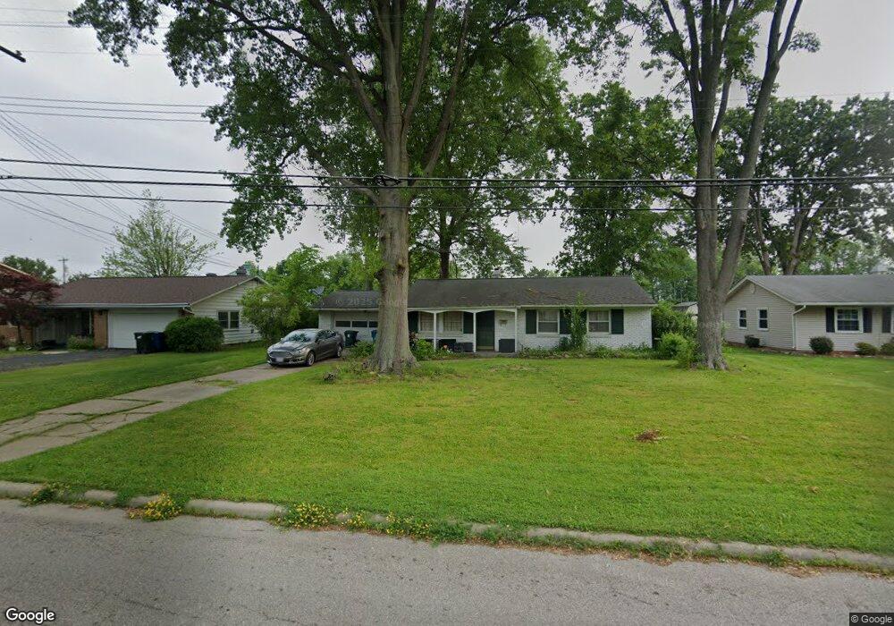
1219 Spruce Tree Ln Amherst, OH 44001
Estimated Value: $184,000 - $226,000
3
Beds
2
Baths
1,120
Sq Ft
$186/Sq Ft
Est. Value
About This Home
This home is located at 1219 Spruce Tree Ln, Amherst, OH 44001 and is currently estimated at $208,530, approximately $186 per square foot. 1219 Spruce Tree Ln is a home located in Lorain County with nearby schools including Powers Elementary School, Walter G. Nord Middle School, and Amherst Junior High School.
Ownership History
Date
Name
Owned For
Owner Type
Purchase Details
Closed on
Apr 15, 2005
Sold by
Klingenmeier Lesli R
Bought by
Zaworski Donald L and Zaworski Donald W
Current Estimated Value
Home Financials for this Owner
Home Financials are based on the most recent Mortgage that was taken out on this home.
Original Mortgage
$126,514
Interest Rate
6.07%
Mortgage Type
FHA
Create a Home Valuation Report for This Property
The Home Valuation Report is an in-depth analysis detailing your home's value as well as a comparison with similar homes in the area
Home Values in the Area
Average Home Value in this Area
Purchase History
| Date | Buyer | Sale Price | Title Company |
|---|---|---|---|
| Zaworski Donald L | $128,500 | Real Living Title Agency Ltd |
Source: Public Records
Mortgage History
| Date | Status | Borrower | Loan Amount |
|---|---|---|---|
| Closed | Zaworski Donald L | $126,514 |
Source: Public Records
Tax History
| Year | Tax Paid | Tax Assessment Tax Assessment Total Assessment is a certain percentage of the fair market value that is determined by local assessors to be the total taxable value of land and additions on the property. | Land | Improvement |
|---|---|---|---|---|
| 2024 | $2,083 | $50,376 | $17,563 | $32,813 |
| 2023 | $1,798 | $36,621 | $11,379 | $25,242 |
| 2022 | $1,682 | $36,621 | $11,379 | $25,242 |
| 2021 | $1,686 | $36,621 | $11,379 | $25,242 |
| 2020 | $1,555 | $29,970 | $9,310 | $20,660 |
| 2019 | $1,524 | $29,970 | $9,310 | $20,660 |
| 2018 | $1,555 | $29,970 | $9,310 | $20,660 |
| 2017 | $1,579 | $29,000 | $8,660 | $20,340 |
| 2016 | $1,592 | $29,000 | $8,660 | $20,340 |
| 2015 | $1,583 | $29,000 | $8,660 | $20,340 |
| 2014 | $1,660 | $30,270 | $9,040 | $21,230 |
| 2013 | $1,665 | $30,270 | $9,040 | $21,230 |
Source: Public Records
Map
Nearby Homes
- Pine—End Unit Plan at Quarry Creek
- Ivy Plan at Quarry Creek
- Pine w/ Full Basement Plan at Quarry Creek
- 60 Flamingo Ave
- 117 Caesars Cir
- 116 Rockridge Dr
- 359 Rockridge Dr
- 351 Rockridge Dr
- 357 Rockridge Dr
- 135 Ridgeland Dr
- 120 Springvale Dr
- 1819 Gloucester Dr
- 122 Lakeview Cir
- 5611 Independence Dr
- 423 Quarry Creek Dr
- 6501 Fox Tail Ln
- 4872 Leavitt Rd
- 1011 N Main St
- 1711 N Nantucket Dr
- 1519 Shaffer Dr
- 1227 Spruce Tree Ln
- 1215 Spruce Tree Ln
- 1211 Spruce Tree Ln
- 1231 Spruce Tree Ln
- 1220 Spruce Tree Ln
- 496 High Meadow Rd
- 1216 Spruce Tree Ln
- 1210 Spruce Tree Ln
- 1235 Spruce Tree Ln
- 490 High Meadow Rd
- 495 High Meadow Rd
- 1239 Spruce Tree Ln
- 1238 Spruce Tree Ln
- 411 N Leavitt Rd
- 484 High Meadow Rd
- 489 High Meadow Rd
- 1242 Spruce Tree Ln
- 1245 Spruce Tree Ln
- 478 High Meadow Rd
- 483 High Meadow Rd