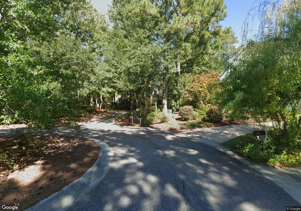
1219 Upper Reach Dr Wilmington, NC 28409
Beasley NeighborhoodEstimated Value: $584,000 - $807,000
3
Beds
4
Baths
2,897
Sq Ft
$240/Sq Ft
Est. Value
About This Home
This home is located at 1219 Upper Reach Dr, Wilmington, NC 28409 and is currently estimated at $695,008, approximately $239 per square foot. 1219 Upper Reach Dr is a home located in New Hanover County with nearby schools including Masonboro Elementary School, Roland-Grise Middle School, and John T. Hoggard High School.
Ownership History
Date
Name
Owned For
Owner Type
Purchase Details
Closed on
Oct 7, 2003
Sold by
Brumbaugh Clay A Helen J
Bought by
Garm Kenneth S
Current Estimated Value
Purchase Details
Closed on
Nov 25, 2002
Sold by
Garm Kenneth S
Bought by
Brumbaugh Clay A Helen J
Purchase Details
Closed on
Mar 15, 2001
Sold by
Garm Rona M
Bought by
Garm Kenneth S
Purchase Details
Closed on
Aug 14, 1992
Sold by
Rbj Inc
Bought by
Garm Kenneth S Rona M
Purchase Details
Closed on
Dec 21, 1988
Sold by
James Roy B
Bought by
Rbj Inc
Create a Home Valuation Report for This Property
The Home Valuation Report is an in-depth analysis detailing your home's value as well as a comparison with similar homes in the area
Home Values in the Area
Average Home Value in this Area
Purchase History
| Date | Buyer | Sale Price | Title Company |
|---|---|---|---|
| Garm Kenneth S | $282,000 | -- | |
| Brumbaugh Clay A Helen J | $280,000 | -- | |
| Garm Kenneth S | -- | -- | |
| Garm Kenneth S | -- | -- | |
| Garm Kenneth S Rona M | $215,000 | -- | |
| Rbj Inc | -- | -- |
Source: Public Records
Tax History Compared to Growth
Tax History
| Year | Tax Paid | Tax Assessment Tax Assessment Total Assessment is a certain percentage of the fair market value that is determined by local assessors to be the total taxable value of land and additions on the property. | Land | Improvement |
|---|---|---|---|---|
| 2023 | $1,921 | $441,500 | $178,300 | $263,200 |
| 2022 | $3,753 | $441,500 | $178,300 | $263,200 |
| 2021 | $3,778 | $441,500 | $178,300 | $263,200 |
| 2020 | $3,942 | $374,200 | $149,500 | $224,700 |
| 2019 | $3,942 | $374,200 | $149,500 | $224,700 |
| 2018 | $3,942 | $374,200 | $149,500 | $224,700 |
| 2017 | $3,942 | $374,200 | $149,500 | $224,700 |
| 2016 | $3,886 | $350,700 | $149,500 | $201,200 |
| 2015 | $3,714 | $350,700 | $149,500 | $201,200 |
| 2014 | $3,556 | $350,700 | $149,500 | $201,200 |
Source: Public Records
Map
Nearby Homes
- 191 Saint Mark Ct
- 6603 Whimbrel Ct
- 5405 Aventuras Dr
- 1128 Beasley
- 1120 Beasley Rd
- 205 Quail Ridge Rd
- 231 Saint Luke Ct
- 6614 Pine Grove Dr
- 3440 Port City Ct Unit 9
- 3442 Port City Ct Unit 10
- 3426 Port City Ct Unit 7
- 3444 Port City Ct Unit 11
- 3428 Port City Ct Unit 8
- 3437 Port City Ct Unit 12
- 3439 Port City Ct Unit 13
- 3441 Port City Ct Unit 14
- 3443 Port City Ct Unit 15
- 3445 Port City Ct Unit 16
- 3409 Port City Ct Unit 1
- 3406 Port City Ct Unit 6
- 1218 Upper Reach Dr
- 1211 Upper Reach Dr
- 1214 Upper Reach Dr
- 1207 Upper Reach Dr
- 1210 Upper Reach Dr Unit LT25R
- 1206 Upper Reach
- 1201 Upper Reach Dr
- 1117 Upper Reach
- 1202 Upper Reach Dr
- 1145 Davis Sound Ln
- 5300 Petral Ct
- 1200 Upper Reach Dr
- 5302 Petral Ct
- 5301 Petral Ct
- 1115 Upper Reach Dr
- 5304 Curlew Dr
- 5302 Curlew Dr
- 1120 Upper Reach Dr
- 5306 Curlew Dr
- 5304 Petrel Ct