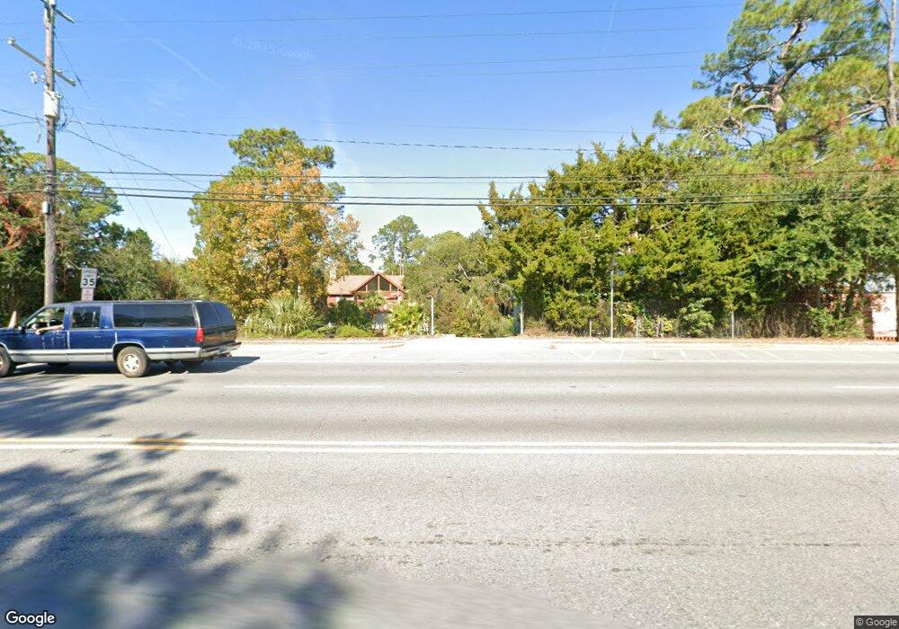
1219 Us Highway 80 Tybee Island, GA 31328
Estimated Value: $1,127,951 - $1,294,000
3
Beds
4
Baths
3,876
Sq Ft
$313/Sq Ft
Est. Value
About This Home
This home is located at 1219 Us Highway 80, Tybee Island, GA 31328 and is currently estimated at $1,213,488, approximately $313 per square foot. 1219 Us Highway 80 is a home with nearby schools including Howard Elementary School, Coastal Middle School, and Islands High School.
Ownership History
Date
Name
Owned For
Owner Type
Purchase Details
Closed on
Aug 21, 2015
Sold by
Smith Diane K
Bought by
Smith Richard C
Current Estimated Value
Home Financials for this Owner
Home Financials are based on the most recent Mortgage that was taken out on this home.
Original Mortgage
$938,250
Outstanding Balance
$700,674
Interest Rate
2.7%
Mortgage Type
FHA
Estimated Equity
$512,814
Purchase Details
Closed on
May 30, 2007
Bought by
Smith Diane K and Smith Richard C
Create a Home Valuation Report for This Property
The Home Valuation Report is an in-depth analysis detailing your home's value as well as a comparison with similar homes in the area
Home Values in the Area
Average Home Value in this Area
Purchase History
| Date | Buyer | Sale Price | Title Company |
|---|---|---|---|
| Smith Richard C | -- | -- | |
| Smith Diane K | -- | -- |
Source: Public Records
Mortgage History
| Date | Status | Borrower | Loan Amount |
|---|---|---|---|
| Open | Smith Richard C | $938,250 | |
| Closed | Smith Richard C | $938,250 |
Source: Public Records
Tax History Compared to Growth
Tax History
| Year | Tax Paid | Tax Assessment Tax Assessment Total Assessment is a certain percentage of the fair market value that is determined by local assessors to be the total taxable value of land and additions on the property. | Land | Improvement |
|---|---|---|---|---|
| 2025 | $6,625 | $408,000 | $247,520 | $160,480 |
| 2024 | $6,625 | $400,440 | $247,520 | $152,920 |
| 2023 | $6,200 | $389,560 | $247,520 | $142,040 |
| 2022 | $6,224 | $327,760 | $181,520 | $146,240 |
| 2021 | $9,336 | $257,200 | $82,760 | $174,440 |
| 2020 | $6,240 | $236,040 | $82,760 | $153,280 |
| 2019 | $9,323 | $236,040 | $82,760 | $153,280 |
| 2018 | $6,245 | $234,440 | $82,760 | $151,680 |
| 2017 | $5,669 | $239,800 | $82,760 | $157,040 |
| 2016 | $5,603 | $238,560 | $82,760 | $155,800 |
| 2015 | $8,591 | $209,520 | $82,120 | $127,400 |
| 2014 | $9,530 | $187,840 | $0 | $0 |
Source: Public Records
Map
Nearby Homes
- 1229 U S 80 Unit A
- 201 Byers St
- 15 Teresa Ln
- 1217 Bay St Unit 128A
- 1217 Bay St Unit 206A
- 1217 Bay St Unit 301B
- 1217 Bay St Unit 214B
- 1217 Bay St Unit 235A
- 1217 Bay St Unit 107B
- 1217 Bay St Unit 101C
- 1217 Bay St Unit 109B
- 1217 Bay St Unit 132A
- 1217 Bay St Unit 230A
- 1108 Bay St
- 1111 Bay St Unit A
- 1201 Bay St
- 1429 Estill Ave Unit D
- 1429 Estill Ave Unit A
- 1101 Bay St Unit B
- 1010 Live Oak Rd
- 1217 U S 80
- 1217 Us Highway 80
- 1221 Us Highway 80
- 1225 E Highway 80
- 1225 Highway 80 E
- 1230 Solomon Ave
- 1230 Solomon Ave Unit B
- 1230 Solomon Ave Unit A
- 1228 Solomon Ave
- 1227 Us Highway 80 Unit A
- 1227 Us Highway 80 Unit A
- 1409 Solomon Ave
- 1407 Solomon Ave
- 1311 Solomon Ave
- 1232 Solomon Ave
- 1229 U S 80 Unit B
- 1229 U S 80
- 1229 U S 80 Unit A & B
- 1212 Solomon Ave
- 1213 Solomon Ave