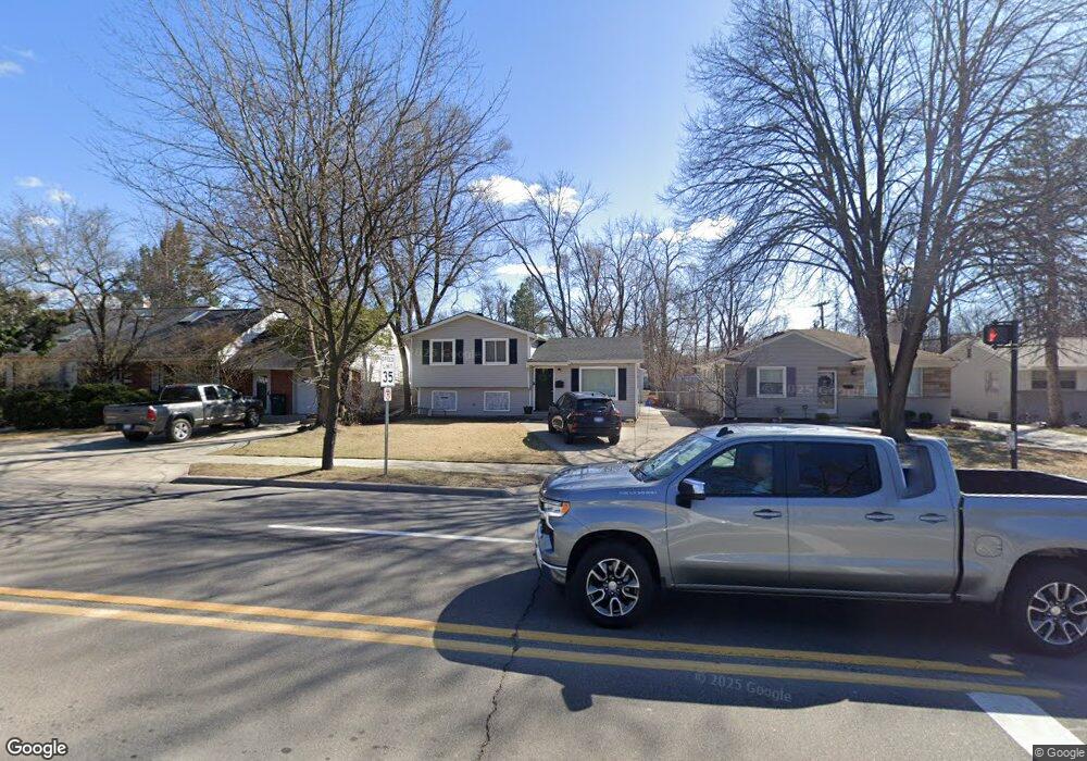
1219 W 12 Mile Rd Royal Oak, MI 48073
Estimated Value: $330,581 - $427,000
3
Beds
1
Bath
1,342
Sq Ft
$286/Sq Ft
Est. Value
About This Home
This home is located at 1219 W 12 Mile Rd, Royal Oak, MI 48073 and is currently estimated at $383,895, approximately $286 per square foot. 1219 W 12 Mile Rd is a home located in Oakland County with nearby schools including Northwood Elementary School, Royal Oak Middle School, and Royal Oak High School.
Ownership History
Date
Name
Owned For
Owner Type
Purchase Details
Closed on
Nov 27, 2017
Sold by
Moring Allen
Bought by
Franklin Andrew
Current Estimated Value
Purchase Details
Closed on
Feb 27, 2017
Sold by
Marsden Adrian P and Marsden Jean Marie
Bought by
Moring Allen
Purchase Details
Closed on
Aug 30, 1995
Sold by
Lam Raymond A
Bought by
Marsden Adrian P
Home Financials for this Owner
Home Financials are based on the most recent Mortgage that was taken out on this home.
Original Mortgage
$92,500
Interest Rate
7.78%
Create a Home Valuation Report for This Property
The Home Valuation Report is an in-depth analysis detailing your home's value as well as a comparison with similar homes in the area
Home Values in the Area
Average Home Value in this Area
Purchase History
| Date | Buyer | Sale Price | Title Company |
|---|---|---|---|
| Franklin Andrew | $265,000 | None Available | |
| Moring Allen | $170,000 | None Available | |
| Marsden Adrian P | $99,900 | -- |
Source: Public Records
Mortgage History
| Date | Status | Borrower | Loan Amount |
|---|---|---|---|
| Previous Owner | Marsden Adrian P | $92,500 |
Source: Public Records
Tax History Compared to Growth
Tax History
| Year | Tax Paid | Tax Assessment Tax Assessment Total Assessment is a certain percentage of the fair market value that is determined by local assessors to be the total taxable value of land and additions on the property. | Land | Improvement |
|---|---|---|---|---|
| 2024 | $3,005 | $115,730 | $0 | $0 |
| 2022 | $3,551 | $103,950 | $0 | $0 |
| 2020 | $2,920 | $94,730 | $0 | $0 |
| 2018 | $3,551 | $64,000 | $0 | $0 |
| 2017 | $3,505 | $64,000 | $0 | $0 |
| 2015 | -- | $63,220 | $0 | $0 |
| 2014 | -- | $61,750 | $0 | $0 |
| 2011 | -- | $61,420 | $0 | $0 |
Source: Public Records
Map
Nearby Homes
- 1721 Forestdale Ct
- 2015 Alicia Ln
- 1319 Woodsboro Dr
- 719 W 12 Mile Rd
- 1630 W 12 Mile Rd
- 1718 W 12 Mile Rd
- 1808 W 12 Mile Rd
- 1103 Fernwood Rd
- 629 W Houstonia Ave
- 1828 W 12 Mile Rd
- 1211 Smith Ave
- 1022 Maplegrove Ave
- 817 Magnolia Ave
- 1402 Catalpa Dr
- 934 Lockwood Rd
- 1915 Northwood Blvd
- 508 W Houstonia Ave
- 2438 Evergreen Dr
- 2115 Marywood Dr
- 2422 Oliver Rd
- 1219 Twelve Mile Rd
- 1223 Twelve Mile Rd
- 1223 W 12 Mile Rd
- 1209 W 12 Mile Rd
- 1231 Twelve Mile Rd
- 718 W Twelve Mile Rd
- 1231 W 12 Mile Rd Unit Bldg-Unit
- 1231 W 12 Mile Rd
- 1231 W 12 Mile Rd
- 1203 W 12 Mile Rd
- 1202 Cedarhill Dr
- 1130 Cedarhill Dr
- 1860 Vinsetta Blvd
- 1124 Cedarhill Dr
- 1206 Cedarhill Dr
- 1127 W 12 Mile Rd
- 1121 W 12 Mile Rd
- 1121 W Twelve Mile Rd
- 1132 W 12 Mile Rd
- 1202 W 12 Mile Rd