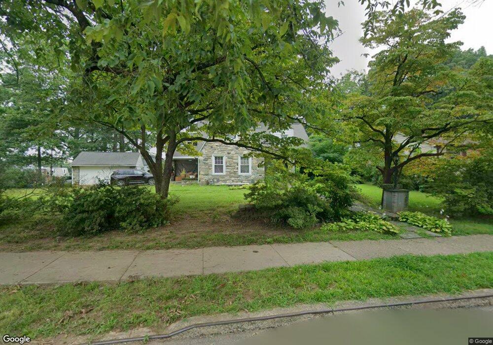
1219 W Oak St Norristown, PA 19401
Estimated Value: $303,000 - $421,391
3
Beds
3
Baths
1,821
Sq Ft
$207/Sq Ft
Est. Value
About This Home
This home is located at 1219 W Oak St, Norristown, PA 19401 and is currently estimated at $377,848, approximately $207 per square foot. 1219 W Oak St is a home located in Montgomery County with nearby schools including Charles Blockson Middle School, Marshall Street Elementary School, and East Norriton Middle School.
Ownership History
Date
Name
Owned For
Owner Type
Purchase Details
Closed on
Aug 30, 2005
Sold by
Desouza Antoine and Desouza Sonia Silvestre
Bought by
Banks Marcia
Current Estimated Value
Home Financials for this Owner
Home Financials are based on the most recent Mortgage that was taken out on this home.
Original Mortgage
$215,000
Outstanding Balance
$114,953
Interest Rate
5.84%
Mortgage Type
New Conventional
Estimated Equity
$262,895
Purchase Details
Closed on
May 15, 1995
Sold by
Desouza Antoine and Desouza Sonia Silvestra
Bought by
Desouza Antoine and Desouza Sonia Silvestre
Create a Home Valuation Report for This Property
The Home Valuation Report is an in-depth analysis detailing your home's value as well as a comparison with similar homes in the area
Home Values in the Area
Average Home Value in this Area
Purchase History
| Date | Buyer | Sale Price | Title Company |
|---|---|---|---|
| Banks Marcia | $275,000 | Germantown Title Co | |
| Desouza Antoine | -- | Manito Title Insurance Compa |
Source: Public Records
Mortgage History
| Date | Status | Borrower | Loan Amount |
|---|---|---|---|
| Open | Banks Marcia | $215,000 |
Source: Public Records
Tax History Compared to Growth
Tax History
| Year | Tax Paid | Tax Assessment Tax Assessment Total Assessment is a certain percentage of the fair market value that is determined by local assessors to be the total taxable value of land and additions on the property. | Land | Improvement |
|---|---|---|---|---|
| 2025 | $7,584 | $123,550 | -- | -- |
| 2024 | $7,584 | $123,550 | -- | -- |
| 2023 | $7,515 | $123,550 | $0 | $0 |
| 2022 | $7,353 | $123,550 | $0 | $0 |
| 2021 | $7,317 | $123,550 | $0 | $0 |
| 2020 | $6,981 | $123,550 | $0 | $0 |
| 2019 | $6,853 | $123,550 | $0 | $0 |
| 2018 | $4,315 | $123,550 | $0 | $0 |
| 2017 | $6,293 | $123,550 | $0 | $0 |
| 2016 | $6,245 | $123,550 | $0 | $0 |
| 2015 | $5,982 | $123,550 | $0 | $0 |
| 2014 | $5,982 | $123,550 | $0 | $0 |
Source: Public Records
Map
Nearby Homes
- 606 Selma St
- 564 Hamilton St
- 0 Centre Unit 430 PAMC2099854
- 417 Centre Ave
- 1016 Thomas Barone St
- 909 Noble St
- 905 W Marshall St
- 609 Glen Ln Unit 54-B
- 612 Glen Ln Unit 56A
- 732 Stanbridge St
- 654 Stanbridge St
- 648 Stanbridge St
- 519 Noble St
- 633 Glen Ln Unit 66B
- 1115 W Main St
- 134 W Main St
- 1402 Sterigere St
- 701 Haws Ave
- 805 Northridge Dr Unit 108-B
- 558 Stanbridge St