Estimated Value: $163,748 - $172,000
3
Beds
1
Bath
1,054
Sq Ft
$160/Sq Ft
Est. Value
About This Home
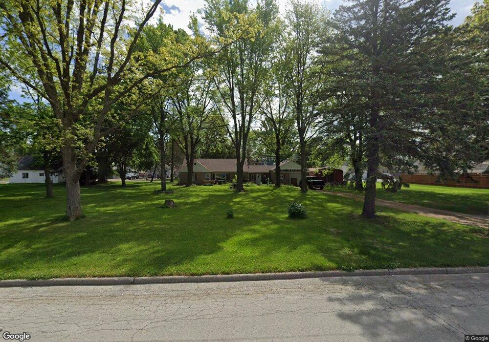
This home is located at 1219 West St, Genoa, OH 43430 and is currently estimated at $168,437, approximately $159 per square foot. 1219 West St is a home located in Ottawa County with nearby schools including Genoa Elementary School and Community Christian Academy.
Ownership History
Date
Name
Owned For
Owner Type
Purchase Details
Closed on
Jul 23, 2021
Sold by
Moyer Diane D and Moyer Hathaway Diane
Bought by
Mills Amanda
Current Estimated Value
Home Financials for this Owner
Home Financials are based on the most recent Mortgage that was taken out on this home.
Original Mortgage
$136,363
Outstanding Balance
$123,785
Interest Rate
2.93%
Mortgage Type
New Conventional
Estimated Equity
$44,652
Purchase Details
Closed on
Mar 9, 2006
Sold by
Estate Of Barry Lee Moyer
Bought by
Moyer Diane D
Purchase Details
Closed on
Apr 13, 1993
Sold by
Moyer Barry and Moyer Kathleen J
Bought by
Moyer Barry L
Create a Home Valuation Report for This Property
The Home Valuation Report is an in-depth analysis detailing your home's value as well as a comparison with similar homes in the area
Purchase History
| Date | Buyer | Sale Price | Title Company |
|---|---|---|---|
| Mills Amanda | $135,000 | Terra Title Llc | |
| Moyer Diane D | -- | Buckeye Title | |
| Moyer Barry L | -- | -- |
Source: Public Records
Mortgage History
| Date | Status | Borrower | Loan Amount |
|---|---|---|---|
| Open | Mills Amanda | $136,363 |
Source: Public Records
Tax History
| Year | Tax Paid | Tax Assessment Tax Assessment Total Assessment is a certain percentage of the fair market value that is determined by local assessors to be the total taxable value of land and additions on the property. | Land | Improvement |
|---|---|---|---|---|
| 2024 | $2,164 | $43,471 | $7,039 | $36,432 |
| 2023 | $1,947 | $29,708 | $5,866 | $23,842 |
| 2022 | $1,499 | $29,708 | $5,866 | $23,842 |
| 2021 | $1,275 | $28,690 | $5,870 | $22,820 |
| 2020 | $1,256 | $26,570 | $4,620 | $21,950 |
| 2019 | $1,248 | $26,570 | $4,620 | $21,950 |
| 2018 | $1,220 | $26,570 | $4,620 | $21,950 |
| 2017 | $1,229 | $25,020 | $4,620 | $20,400 |
| 2016 | $1,233 | $25,020 | $4,620 | $20,400 |
| 2015 | $1,241 | $25,020 | $4,620 | $20,400 |
| 2014 | $507 | $21,980 | $4,620 | $17,360 |
| 2013 | $1,016 | $21,980 | $4,620 | $17,360 |
Source: Public Records
Map
Nearby Homes
- 1309 Superior St
- 207 E 11th St
- 915 Buckeye St
- 904 Main St
- 21682 State Route 51 W
- 205 W 4th St
- 416 Castle Cove
- 420 E 4th St
- 1615 N Thyre Dr
- 23195 W Centerfield Dr
- 1861 N Opfer-Lentz Rd
- 330 5th St
- 0 Recker Rd
- 1611 Latcha Rd
- 1469 Circle Dr
- 28262 Brookside Ln
- 20240 W Portage River South Rd
- 2869 S Walnut Hill Dr
- 1460 Woodville Rd
- 523 Woodpointe Dr Unit 523
Your Personal Tour Guide
Ask me questions while you tour the home.