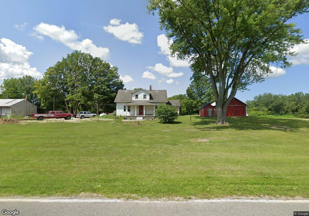
12190 Hills Rd Buchanan, MI 49107
Estimated Value: $219,927 - $616,000
3
Beds
1
Bath
1,404
Sq Ft
$285/Sq Ft
Est. Value
About This Home
This home is located at 12190 Hills Rd, Buchanan, MI 49107 and is currently estimated at $399,482, approximately $284 per square foot. 12190 Hills Rd is a home located in Berrien County with nearby schools including River Valley Middle/High School.
Ownership History
Date
Name
Owned For
Owner Type
Purchase Details
Closed on
Jun 23, 2017
Sold by
Backus Michael C and Backus Stefanie
Bought by
Albright Jacob
Current Estimated Value
Home Financials for this Owner
Home Financials are based on the most recent Mortgage that was taken out on this home.
Original Mortgage
$84,500
Outstanding Balance
$44,336
Interest Rate
4.02%
Mortgage Type
New Conventional
Estimated Equity
$355,146
Purchase Details
Closed on
Dec 28, 2016
Sold by
Albright Alyse R and Albrigth Alyse
Bought by
Albright Jacob R
Create a Home Valuation Report for This Property
The Home Valuation Report is an in-depth analysis detailing your home's value as well as a comparison with similar homes in the area
Purchase History
| Date | Buyer | Sale Price | Title Company |
|---|---|---|---|
| Albright Jacob | $97,000 | Chicago Title Of Mi Inc | |
| Albright Jacob R | -- | Attorney | |
| Albright Jacob R | -- | None Available |
Source: Public Records
Mortgage History
| Date | Status | Borrower | Loan Amount |
|---|---|---|---|
| Open | Albright Jacob | $84,500 |
Source: Public Records
Tax History
| Year | Tax Paid | Tax Assessment Tax Assessment Total Assessment is a certain percentage of the fair market value that is determined by local assessors to be the total taxable value of land and additions on the property. | Land | Improvement |
|---|---|---|---|---|
| 2025 | $1,250 | $88,600 | $0 | $0 |
| 2024 | $640 | $76,400 | $0 | $0 |
| 2023 | $609 | $69,700 | $0 | $0 |
| 2022 | $580 | $60,500 | $0 | $0 |
| 2021 | $1,054 | $53,400 | $12,100 | $41,300 |
| 2020 | $1,043 | $54,900 | $0 | $0 |
| 2019 | $1,012 | $56,600 | $13,400 | $43,200 |
| 2018 | $1,101 | $56,600 | $0 | $0 |
| 2017 | $1,078 | $54,100 | $0 | $0 |
| 2016 | $1,076 | $55,300 | $0 | $0 |
Source: Public Records
Map
Nearby Homes
- 940 Mount Tabor Rd
- 438 E Snow Rd
- 2122 Grange Rd
- 1968 Mount Tabor Rd
- 46 Camp Madron Rd
- 1968 Mount Tabor 2 Rd
- 2362 Browntown Rd
- 1500 Sanford Ln
- 0 W Wagner Rd Unit 26000020
- 130 Singer Lake Trail
- 3045 Little Glendora Rd
- 0 Garr Rd Unit 25026637
- 2775 Lakeland Dr
- 2658 W Lakeland Dr Unit 35
- 2686 W Lakeland Dr Unit 34
- 3334 W Glendora Rd
- 9050 5th St
- 11087 Lake Shore Dr
- 0 Gray Rd Unit Parcel C 25045703
- 0 Bailey Ln
- 12197 Hills Rd
- 0 Parcel A Hills Rd
- 11900 Hills Rd
- 350 Freehling Rd
- 386 Freehling Rd
- 12380 Davis
- 0 Parcel B Hills Rd
- 12593 Hills Rd
- 11850 Hills Rd
- 490 Freehling Rd
- 512 Freehling Rd
- 12627 Hills Rd
- 12636 Davis
- 264 Browntown Rd
- 0 Davis Rd
- 150 Browntown Rd
- 11776 Hills Rd
- 170 Browntown Rd
- 11771 Hills Rd
- 205 Browntown Rd
Your Personal Tour Guide
Ask me questions while you tour the home.