12191 E Canoe Ln Suring, WI 54174
Estimated Value: $140,731 - $204,000
Studio
--
Bath
--
Sq Ft
102,802
Sq Ft Lot
About This Home
This home is located at 12191 E Canoe Ln, Suring, WI 54174 and is currently estimated at $178,910. 12191 E Canoe Ln is a home with nearby schools including Suring Elementary School and Suring High School.
Ownership History
Date
Name
Owned For
Owner Type
Purchase Details
Closed on
Sep 24, 2020
Sold by
Beyersdorf Dennis W
Bought by
Beyersdorf Dennis W
Current Estimated Value
Home Financials for this Owner
Home Financials are based on the most recent Mortgage that was taken out on this home.
Interest Rate
2.9%
Purchase Details
Closed on
Jul 22, 2020
Sold by
Beyersdorf Dennis W
Bought by
Beyersdorf Dennis W
Home Financials for this Owner
Home Financials are based on the most recent Mortgage that was taken out on this home.
Interest Rate
2.98%
Create a Home Valuation Report for This Property
The Home Valuation Report is an in-depth analysis detailing your home's value as well as a comparison with similar homes in the area
Purchase History
| Date | Buyer | Sale Price | Title Company |
|---|---|---|---|
| Beyersdorf Dennis W | $52,500 | -- | |
| Beyersdorf Dennis W | $52,500 | -- |
Source: Public Records
Mortgage History
| Date | Status | Borrower | Loan Amount |
|---|---|---|---|
| Closed | Beyersdorf Dennis W | -- | |
| Previous Owner | Beyersdorf Dennis W | -- |
Source: Public Records
Tax History
| Year | Tax Paid | Tax Assessment Tax Assessment Total Assessment is a certain percentage of the fair market value that is determined by local assessors to be the total taxable value of land and additions on the property. | Land | Improvement |
|---|---|---|---|---|
| 2024 | $8 | $81,500 | $33,200 | $48,300 |
| 2023 | $786 | $50,300 | $20,100 | $30,200 |
| 2022 | $832 | $50,300 | $20,100 | $30,200 |
| 2021 | $751 | $50,300 | $20,100 | $30,200 |
| 2020 | $737 | $50,300 | $20,100 | $30,200 |
| 2019 | $716 | $50,300 | $20,100 | $30,200 |
| 2018 | $737 | $50,300 | $20,100 | $30,200 |
| 2017 | $737 | $50,300 | $20,100 | $30,200 |
| 2016 | $762 | $50,300 | $20,100 | $30,200 |
| 2015 | $716 | $50,300 | $20,100 | $30,200 |
| 2013 | $741 | $57,900 | $23,600 | $34,300 |
Source: Public Records
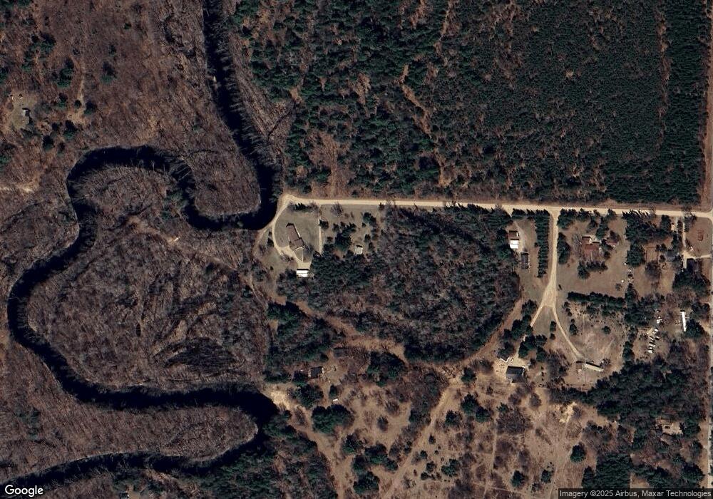
Map
Nearby Homes
- 10325 Peshtigo Brook Rd
- 10869 Randall Ln
- 10538 Pipeline Rd
- 11154 Spreeman Rd
- 506 N Mill St
- 606 E Brook St
- 319 Algoma St
- 111 Center St
- 510 E Main St
- 414 E Groninger St
- 0 Groninger St Unit 50287448
- 11690 Wisconsin 32
- 507 E Groninger St
- 515 E Groninger St
- 8501 River Rd
- 11288 County Road A
- 10882 Wescott Lake Rd
- 8211 Wisconsin 32
- 9849 N White Lake Rd
- 9318 N Marl Lake Rd
- 12197 E Canoe Ln
- 12221 E Canoe Ln
- 12149 E Canoe Ln
- 12141 S Canoe Ln
- 12129 E Canoe Ln
- 12135 E Canoe Ln
- 12287 W Canoe Ln
- 10365 Big Eddie Ln
- 10435 Peshtigo Brook Rd
- 10461 Peshtigo Brook Rd
- 10343 Peshtigo Brook Rd
- 10360 Big Eddie Ln
- 12347 W Canoe Ln
- 10330 Big Eddie Ln
- 10340 Big Eddie Ln
- 12299 N Branch Rd
- 10615 Peshtigo Brook Rd
- 10335 Big Eddie Ln
- 10631 Peshtigo Brook Rd
- 10302 Big Eddie Ln
Your Personal Tour Guide
Ask me questions while you tour the home.