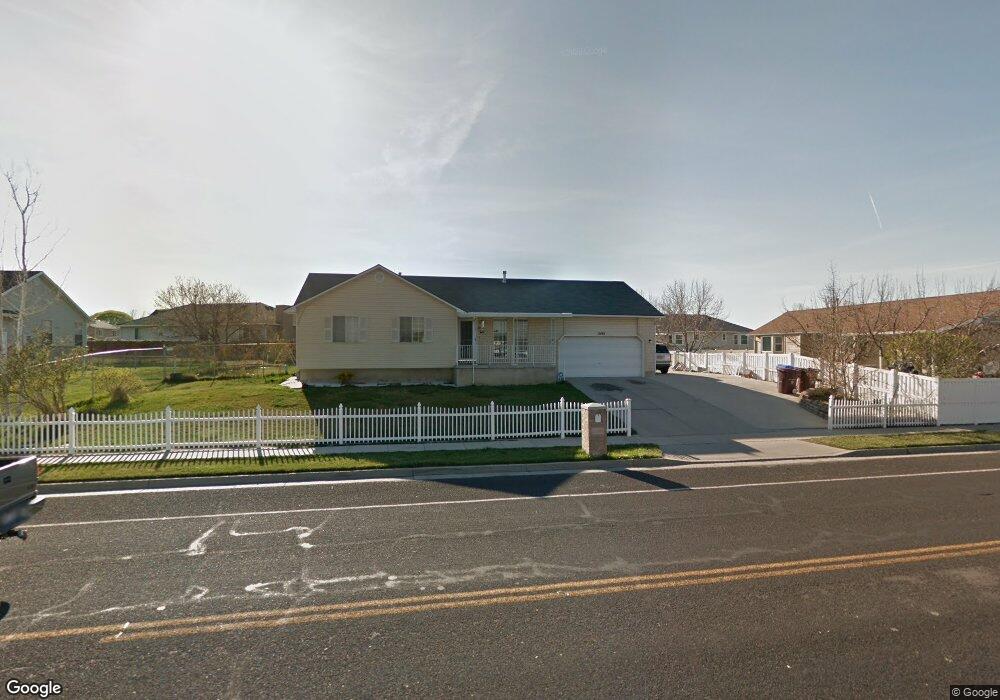
12192 S 1300 W Riverton, UT 84065
Estimated Value: $535,000 - $609,000
5
Beds
3
Baths
1,272
Sq Ft
$456/Sq Ft
Est. Value
About This Home
This home is located at 12192 S 1300 W, Riverton, UT 84065 and is currently estimated at $580,656, approximately $456 per square foot. 12192 S 1300 W is a home located in Salt Lake County with nearby schools including Rosamond Elementary School, Oquirrh Hills Middle School, and Riverton High School.
Ownership History
Date
Name
Owned For
Owner Type
Purchase Details
Closed on
Aug 18, 2020
Sold by
Nham Tat and Dang Ha To
Bought by
Nham Tat and Dang Ha To
Current Estimated Value
Home Financials for this Owner
Home Financials are based on the most recent Mortgage that was taken out on this home.
Original Mortgage
$130,000
Outstanding Balance
$115,104
Interest Rate
2.9%
Mortgage Type
New Conventional
Estimated Equity
$465,552
Purchase Details
Closed on
Mar 27, 2009
Sold by
Smith Ramona H
Bought by
Nham Tat and Dang Ha To
Purchase Details
Closed on
Aug 30, 2007
Sold by
Smith Ramona H
Bought by
Nham Tat and Dang Ha To
Purchase Details
Closed on
Dec 14, 1995
Sold by
Smith N Wayne and Smith Ramona
Bought by
Smith N Wayne and Smith Ramona H
Create a Home Valuation Report for This Property
The Home Valuation Report is an in-depth analysis detailing your home's value as well as a comparison with similar homes in the area
Home Values in the Area
Average Home Value in this Area
Purchase History
| Date | Buyer | Sale Price | Title Company |
|---|---|---|---|
| Nham Tat | -- | Linear Title Agency Of Ut | |
| Nham Tat | -- | Equity Title | |
| Nham Tat | -- | Equity Title | |
| Smith N Wayne | -- | -- |
Source: Public Records
Mortgage History
| Date | Status | Borrower | Loan Amount |
|---|---|---|---|
| Open | Nham Tat | $130,000 |
Source: Public Records
Tax History Compared to Growth
Tax History
| Year | Tax Paid | Tax Assessment Tax Assessment Total Assessment is a certain percentage of the fair market value that is determined by local assessors to be the total taxable value of land and additions on the property. | Land | Improvement |
|---|---|---|---|---|
| 2025 | $2,954 | $522,800 | $195,500 | $327,300 |
| 2024 | $2,954 | $511,300 | $192,000 | $319,300 |
| 2023 | $2,866 | $467,700 | $177,700 | $290,000 |
| 2022 | $2,996 | $479,600 | $174,200 | $305,400 |
| 2021 | $2,578 | $367,400 | $130,700 | $236,700 |
| 2020 | $2,450 | $325,500 | $117,100 | $208,400 |
| 2019 | $2,463 | $321,700 | $106,500 | $215,200 |
| 2018 | $2,338 | $300,700 | $106,500 | $194,200 |
| 2017 | $2,238 | $280,500 | $106,500 | $174,000 |
| 2016 | $2,134 | $256,600 | $97,900 | $158,700 |
| 2015 | $2,070 | $241,400 | $99,600 | $141,800 |
| 2014 | $1,993 | $227,800 | $94,900 | $132,900 |
Source: Public Records
Map
Nearby Homes
- 12216 S 1300 W
- 1410 W 12115 S
- 1184 W Margaret Rose Dr
- 12392 S 1300 W
- 12294 S 1490 W
- 12091 S Lampton View Dr
- 1182 River Hills Dr
- 1337 Natasha Cir
- 11860 S Alysum Cir
- 1233 W 12500 S
- 1661 W Madison View Dr
- 12566 S Tithing Hill Dr
- 1371 W Stewart Falls Dr
- 1373 W Stewart Falls Dr
- 1056 W Kate Springs Ln S Unit 10
- 12317 S Redwood Rd
- 12325 S Redwood Rd
- 11784 Stone Ridge Ct
- 12345 S Redwood Rd
- 1611 W Laurel Chase Dr
- 12189 S Cove Crest Cir
- 12208 S 1300 W
- 12189 Cove Crest Cir
- 1321 Mason Hollow Dr
- 12199 Cove Crest Cir
- 12185 Cove Crest Cir
- 12212 Margaret Park Dr
- 12202 Margaret Park Dr
- 12222 Margaret Park Dr
- 12207 Cove Crest Cir
- 12192 S Margaret Park Dr
- 12192 Margaret Park Dr
- 1340 W 12230 S
- 12190 Cove Crest Cir
- 12232 Margaret Park Dr
- 12190 S Cove Crest Cir
- 1314 Mason Hollow Dr
- 1314 W Mason Hollow Dr
- 1328 Mason Hollow Dr
- 12202 Cove Crest Cir