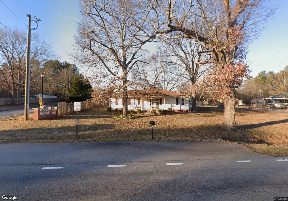
12196 Brown Bridge Rd Covington, GA 30016
Estimated Value: $236,000 - $287,000
4
Beds
1
Bath
1,752
Sq Ft
$150/Sq Ft
Est. Value
About This Home
This home is located at 12196 Brown Bridge Rd, Covington, GA 30016 and is currently estimated at $263,297, approximately $150 per square foot. 12196 Brown Bridge Rd is a home located in Newton County with nearby schools including South Salem Elementary School, Liberty Middle School, and Newton High School.
Ownership History
Date
Name
Owned For
Owner Type
Purchase Details
Closed on
Jun 27, 2003
Sold by
Brinson/Mitchell Inc
Bought by
Reynolds Kimberly
Current Estimated Value
Home Financials for this Owner
Home Financials are based on the most recent Mortgage that was taken out on this home.
Original Mortgage
$92,050
Outstanding Balance
$37,856
Interest Rate
5.17%
Mortgage Type
FHA
Estimated Equity
$225,441
Create a Home Valuation Report for This Property
The Home Valuation Report is an in-depth analysis detailing your home's value as well as a comparison with similar homes in the area
Home Values in the Area
Average Home Value in this Area
Purchase History
| Date | Buyer | Sale Price | Title Company |
|---|---|---|---|
| Reynolds Kimberly | $93,000 | -- |
Source: Public Records
Mortgage History
| Date | Status | Borrower | Loan Amount |
|---|---|---|---|
| Open | Reynolds Kimberly | $92,050 |
Source: Public Records
Tax History
| Year | Tax Paid | Tax Assessment Tax Assessment Total Assessment is a certain percentage of the fair market value that is determined by local assessors to be the total taxable value of land and additions on the property. | Land | Improvement |
|---|---|---|---|---|
| 2025 | $2,300 | $94,480 | $9,720 | $84,760 |
| 2024 | $2,307 | $92,520 | $5,520 | $87,000 |
| 2023 | $2,281 | $85,680 | $5,520 | $80,160 |
| 2022 | $1,778 | $67,120 | $5,520 | $61,600 |
| 2021 | $1,598 | $54,560 | $5,520 | $49,040 |
| 2020 | $1,703 | $52,840 | $7,200 | $45,640 |
| 2019 | $1,286 | $39,880 | $7,200 | $32,680 |
| 2018 | $1,314 | $40,480 | $7,200 | $33,280 |
| 2017 | $957 | $30,080 | $5,200 | $24,880 |
| 2016 | $909 | $28,680 | $3,800 | $24,880 |
| 2015 | $726 | $23,360 | $2,800 | $20,560 |
| 2014 | $680 | $22,040 | $0 | $0 |
Source: Public Records
Map
Nearby Homes
- 45 Robertford Dr
- 444 McGiboney Rd Unit 1
- 430 Fox Meadow Dr
- 30 Cinnamon Fern Cir
- 95 Forray Dr
- 95 Randette Dr
- 105 Sears Rd
- 160 Wisteria Blvd
- 220 Doubles Dr Unit 3
- 250 Stonecreek Pkwy
- 12462 Brown Bridge Rd
- 11889 Brown Bridge Rd
- 130 Stephanie Ln Unit 5
- 150 Stephanie Ln
- 20 Trelawney Run
- 100 Wisteria Cir
- 510 Stonecreek Ln Unit 56
- 500 Shiver Blvd
- 50 Amberjack Trail
- 160 Princeton Way
- 20 Windscape Dr
- 0 Windbrooke Dr
- 0 Windbrooke Dr Unit 7631939
- 0 Windbrooke Dr Unit 7129262
- 0 Windbrooke Dr Unit Lot 13 8825519
- 0 Windbrooke Dr Unit 5175632
- 12212 Brown Bridge Rd
- 30 Windscape Dr
- 25 Windscape Dr Unit 2
- 25 Windscape Dr
- 12207 Brown Bridge Rd
- 12177 Brown Bridge Rd
- 12177 Brown Bridge Rd Unit Land
- 12209 Brown Bridge Rd
- 35 Windscape Dr
- 11 Georgia Rd
- 40 Windscape Dr
- 12230 Brown Bridge Rd
- 12167 Brown Bridge Rd
- 13 Georgia Rd
Your Personal Tour Guide
Ask me questions while you tour the home.