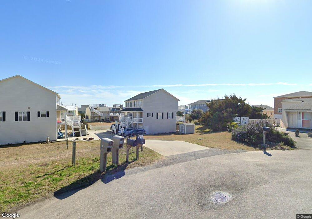
121B Dunes Ct Atlantic Beach, NC 28512
Estimated Value: $451,421 - $629,000
2
Beds
3
Baths
1,400
Sq Ft
$407/Sq Ft
Est. Value
About This Home
This home is located at 121B Dunes Ct, Atlantic Beach, NC 28512 and is currently estimated at $570,105, approximately $407 per square foot. 121B Dunes Ct is a home located in Carteret County with nearby schools including Morehead City Primary School, Morehead Elementary School at Camp Glenn, and Morehead City Middle School.
Ownership History
Date
Name
Owned For
Owner Type
Purchase Details
Closed on
Dec 29, 2008
Sold by
Talton John Phillip and Talton Clara Jackson
Bought by
Wagner Louis E and Wagner Edith G
Current Estimated Value
Home Financials for this Owner
Home Financials are based on the most recent Mortgage that was taken out on this home.
Original Mortgage
$204,000
Outstanding Balance
$135,144
Interest Rate
6.1%
Mortgage Type
Purchase Money Mortgage
Estimated Equity
$434,961
Purchase Details
Closed on
Jul 19, 2000
Create a Home Valuation Report for This Property
The Home Valuation Report is an in-depth analysis detailing your home's value as well as a comparison with similar homes in the area
Home Values in the Area
Average Home Value in this Area
Purchase History
| Date | Buyer | Sale Price | Title Company |
|---|---|---|---|
| Wagner Louis E | $255,000 | None Available | |
| -- | $169,500 | -- |
Source: Public Records
Mortgage History
| Date | Status | Borrower | Loan Amount |
|---|---|---|---|
| Open | Wagner Louis E | $204,000 |
Source: Public Records
Tax History Compared to Growth
Tax History
| Year | Tax Paid | Tax Assessment Tax Assessment Total Assessment is a certain percentage of the fair market value that is determined by local assessors to be the total taxable value of land and additions on the property. | Land | Improvement |
|---|---|---|---|---|
| 2025 | $1,158 | $471,043 | $90,000 | $381,043 |
| 2024 | $907 | $237,887 | $54,507 | $183,380 |
| 2023 | $824 | $237,887 | $54,507 | $183,380 |
| 2022 | $800 | $237,887 | $54,507 | $183,380 |
| 2021 | $800 | $237,887 | $54,507 | $183,380 |
| 2020 | $800 | $237,887 | $54,507 | $183,380 |
| 2019 | $445 | $138,833 | $66,895 | $71,938 |
| 2017 | $683 | $215,602 | $64,664 | $150,938 |
| 2016 | $683 | $215,602 | $64,664 | $150,938 |
| 2015 | $662 | $215,602 | $64,664 | $150,938 |
| 2014 | $719 | $234,617 | $64,748 | $169,869 |
Source: Public Records
Map
Nearby Homes
- 203 Club Colony Dr
- 106 Willis Ave Unit A
- 514 E Fort MacOn Rd
- 1116 E Fort MacOn Rd
- 9 E Fort MacOn Rd
- 408 Caswell St Unit B
- 524 E Fort MacOn Rd
- 305 E Caswell St
- 302 Glenn St
- 115 Island Quay Dr
- 404 E Terminal Blvd Unit 1f, 2f, 1b, 2b
- 105 Winston Ave Unit A&B
- 303 Henderson Blvd Unit 14
- 302 E Fort MacOn Rd
- 205 Barefoot Ln
- 204 Winston Ave
- 217 W Atlantic Blvd
- 206 Asbury Ave Unit A
- 203 E Terminal Blvd
- 208 Beaufort Ave Unit 1
- 121A Dunes Ct
- 123 Dunes Ct
- 202 Dunes Ave
- 202 Dunes Ave
- 117 Dunes Ct Unit A
- 117 Dunes Ct Unit B
- 122 Dunes Ct
- 115 Dunes Ct
- 204 Dunes Ave
- 204 Dunes Ave
- 113 Club Colony Dr
- 115 Club Colony Dr
- 111 Club Colony Dr
- 113 Dunes Ct
- 200 Dunes Ave
- 200 Dunes Ave
- 111 Dunes Ct
- 109 Club Colony Dr
- 206 Dunes Ave
- 117 Club Colony Dr