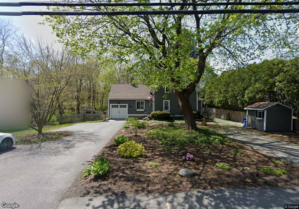
122 Acton St Maynard, MA 01754
Estimated Value: $713,000 - $781,000
3
Beds
3
Baths
2,074
Sq Ft
$362/Sq Ft
Est. Value
About This Home
This home is located at 122 Acton St, Maynard, MA 01754 and is currently estimated at $751,476, approximately $362 per square foot. 122 Acton St is a home located in Middlesex County with nearby schools including Green Meadow School, Fowler School, and Maynard High School.
Ownership History
Date
Name
Owned For
Owner Type
Purchase Details
Closed on
May 21, 1998
Sold by
Cusack Rita M and Macdonald Moira E
Bought by
Donovan Terrance and Donovan Diane
Current Estimated Value
Home Financials for this Owner
Home Financials are based on the most recent Mortgage that was taken out on this home.
Original Mortgage
$172,425
Outstanding Balance
$33,486
Interest Rate
7.03%
Mortgage Type
Purchase Money Mortgage
Estimated Equity
$717,990
Purchase Details
Closed on
Mar 24, 1988
Sold by
Beltramin Nancy F M
Bought by
Cusack Rita M
Home Financials for this Owner
Home Financials are based on the most recent Mortgage that was taken out on this home.
Original Mortgage
$134,900
Interest Rate
9.82%
Mortgage Type
Purchase Money Mortgage
Create a Home Valuation Report for This Property
The Home Valuation Report is an in-depth analysis detailing your home's value as well as a comparison with similar homes in the area
Home Values in the Area
Average Home Value in this Area
Purchase History
| Date | Buyer | Sale Price | Title Company |
|---|---|---|---|
| Donovan Terrance | $181,500 | -- | |
| Cusack Rita M | $142,000 | -- |
Source: Public Records
Mortgage History
| Date | Status | Borrower | Loan Amount |
|---|---|---|---|
| Open | Cusack Rita M | $172,425 | |
| Previous Owner | Cusack Rita M | $128,000 | |
| Previous Owner | Cusack Rita M | $134,900 |
Source: Public Records
Tax History Compared to Growth
Tax History
| Year | Tax Paid | Tax Assessment Tax Assessment Total Assessment is a certain percentage of the fair market value that is determined by local assessors to be the total taxable value of land and additions on the property. | Land | Improvement |
|---|---|---|---|---|
| 2025 | $11,401 | $639,400 | $286,600 | $352,800 |
| 2024 | $9,045 | $505,900 | $273,000 | $232,900 |
| 2023 | $8,485 | $447,300 | $260,000 | $187,300 |
| 2022 | $8,325 | $405,700 | $218,400 | $187,300 |
| 2021 | $7,909 | $392,500 | $218,400 | $174,100 |
| 2020 | $7,697 | $372,900 | $197,600 | $175,300 |
| 2019 | $7,396 | $351,500 | $188,800 | $162,700 |
| 2018 | $7,005 | $309,400 | $171,600 | $137,800 |
| 2017 | $6,810 | $309,400 | $171,600 | $137,800 |
| 2016 | $6,575 | $309,400 | $171,600 | $137,800 |
| 2015 | $6,307 | $282,700 | $163,800 | $118,900 |
| 2014 | $6,185 | $277,500 | $158,600 | $118,900 |
Source: Public Records
Map
Nearby Homes
- 2 Marble Farm Rd
- 12 Brown St
- 7 King St
- 17 Prospect St
- 37 Glendale St
- 30 Acton St
- 2 Wall Ct
- 66 Powder Mill Rd
- 68 Powder Mill Rd
- 70 Powder Mill Rd
- 2 & 6 Powder Mill Rd
- 28 Waltham St Unit A
- 28 Waltham St Unit B
- 6 Durant Ave
- 13 Arthur St Unit 15
- 15 Arthur St Unit 15
- 5 Hayes St Unit 5
- 10 Mill St Unit Q
- 10 Mill St Unit B
- 71 Liberty St
- 116 Acton St
- 119 Acton St
- 114 Acton St
- 1 Silver Hill Rd
- 3 Silver Hill Rd
- 117 Acton St
- 115 Acton St
- 113 Acton St
- 129 Acton St Unit 2
- 129 Acton St Unit 1
- 129 Acton St Unit 8
- 129 Acton St Unit 16
- 129 Acton St Unit 18
- 129 Acton St Unit 15
- 129 Acton St Unit 17
- 129 Acton St Unit 3
- 129 Acton St Unit 5
- 129 Acton St Unit 4
- 129 Acton St Unit 6
- 129 Acton St Unit 14