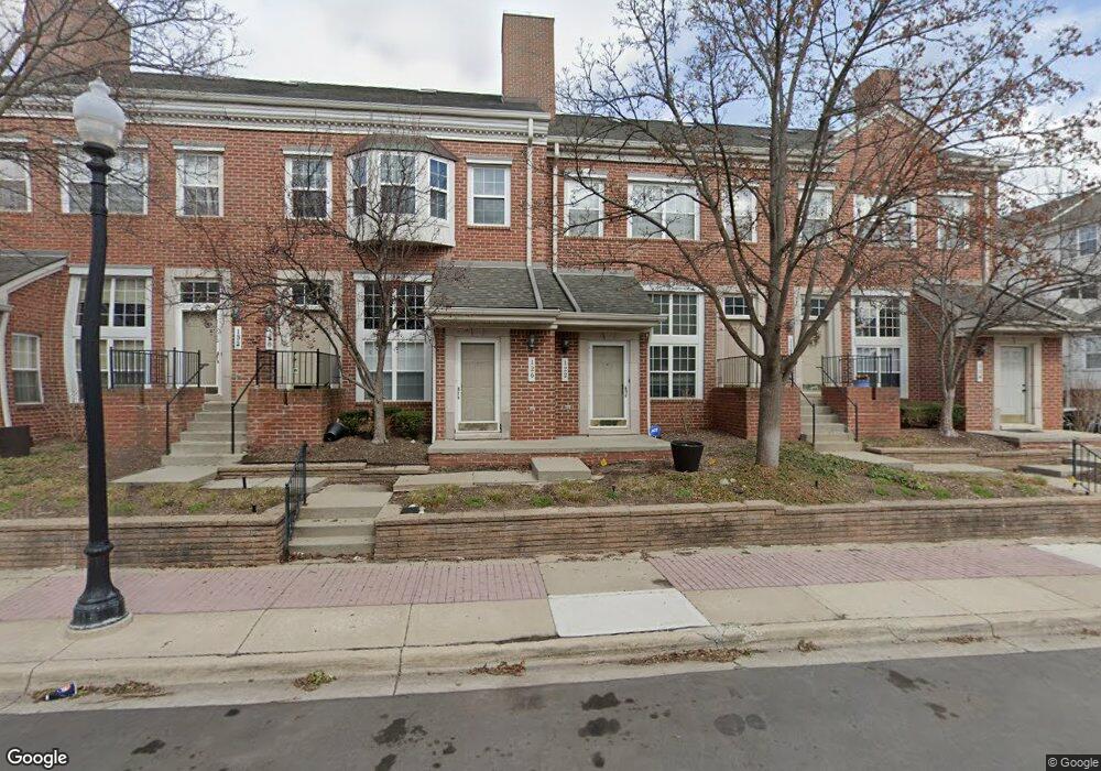
122 Allenhurst Ave Royal Oak, MI 48067
Estimated Value: $307,206 - $340,000
2
Beds
2
Baths
783
Sq Ft
$410/Sq Ft
Est. Value
About This Home
This home is located at 122 Allenhurst Ave, Royal Oak, MI 48067 and is currently estimated at $320,802, approximately $409 per square foot. 122 Allenhurst Ave is a home located in Oakland County with nearby schools including Northwood Elementary School, Royal Oak Middle School, and Royal Oak High School.
Ownership History
Date
Name
Owned For
Owner Type
Purchase Details
Closed on
Jan 9, 2002
Sold by
Jones Robin D
Bought by
Robin D Jones Tr
Current Estimated Value
Purchase Details
Closed on
Aug 4, 2000
Sold by
Callaghan Christine C
Bought by
Jones Robin D
Home Financials for this Owner
Home Financials are based on the most recent Mortgage that was taken out on this home.
Original Mortgage
$37,000
Interest Rate
8.12%
Purchase Details
Closed on
Jul 31, 1997
Sold by
Kuhl David M
Bought by
Clark Jennifer S
Home Financials for this Owner
Home Financials are based on the most recent Mortgage that was taken out on this home.
Original Mortgage
$118,800
Interest Rate
7.68%
Purchase Details
Closed on
Dec 21, 1994
Sold by
American Quality Homes I
Bought by
Kuhl David M
Create a Home Valuation Report for This Property
The Home Valuation Report is an in-depth analysis detailing your home's value as well as a comparison with similar homes in the area
Home Values in the Area
Average Home Value in this Area
Purchase History
| Date | Buyer | Sale Price | Title Company |
|---|---|---|---|
| Robin D Jones Tr | -- | -- | |
| Jones Robin D | $177,000 | -- | |
| Clark Jennifer S | $132,000 | -- | |
| Kuhl David M | $88,671 | -- |
Source: Public Records
Mortgage History
| Date | Status | Borrower | Loan Amount |
|---|---|---|---|
| Previous Owner | Jones Robin D | $37,000 | |
| Previous Owner | Clark Jennifer S | $118,800 |
Source: Public Records
Tax History Compared to Growth
Tax History
| Year | Tax Paid | Tax Assessment Tax Assessment Total Assessment is a certain percentage of the fair market value that is determined by local assessors to be the total taxable value of land and additions on the property. | Land | Improvement |
|---|---|---|---|---|
| 2024 | $2,492 | $120,960 | $0 | $0 |
| 2022 | $2,909 | $108,710 | $0 | $0 |
| 2020 | $2,419 | $0 | $0 | $0 |
| 2018 | $2,909 | $93,550 | $0 | $0 |
| 2017 | $2,788 | $93,550 | $0 | $0 |
| 2015 | -- | $82,820 | $0 | $0 |
| 2014 | -- | $76,080 | $0 | $0 |
| 2011 | -- | $62,130 | $0 | $0 |
Source: Public Records
Map
Nearby Homes
- 162 S Georgetown Square
- 1443 S Washington Ave
- 138 Tiffany Ln Unit 90
- 201 W Parent Ave
- 127 W Parent Ave
- 207 W Parent Ave
- 201 W Harrison Ave
- 202 Stonebrooke Ct
- 129 E Maryland Ave
- 1021 S Washington Ave Unit G
- 333 E Parent Ave Unit 32
- 333 E Parent Ave Unit 9
- 333 E Parent Ave Unit 26
- 333 E Parent Ave Unit 14
- 333 E Parent Ave Unit 4
- 322 E Harrison Ave Unit 1
- 322 E Harrison Ave Unit 18
- 902 S Washington Ave
- 25475 Dundee Rd
- 1260 Diamond Ct Unit A
- 1345 S Washington Ave Unit 122
- 1317 S Washington Ave Unit Bldg-Unit
- 1315 S Washington Ave Unit Bldg-Unit
- 1342 S Main St Unit Bldg-Unit
- 173 W Kenilworth Ave Unit 17
- 1347 S Washington Ave
- 1349 S Washington Ave
- 1345 S Washington Ave
- 1339 S Washington Ave
- 1341 S Washington Ave
- 1335 S Washington Ave Unit 117
- 1331 S Washington Ave Unit 116
- 1333 S Washington Ave Unit 115
- 1329 S Washington Ave
- 1323 S Washington Ave Unit 112
- 1325 S Washington Ave Unit 111
- 1321 S Washington Ave Unit 110
- 1319 S Washington Ave Unit 109
- 1315 S Washington Ave
- 1317 S Washington Ave Unit 107