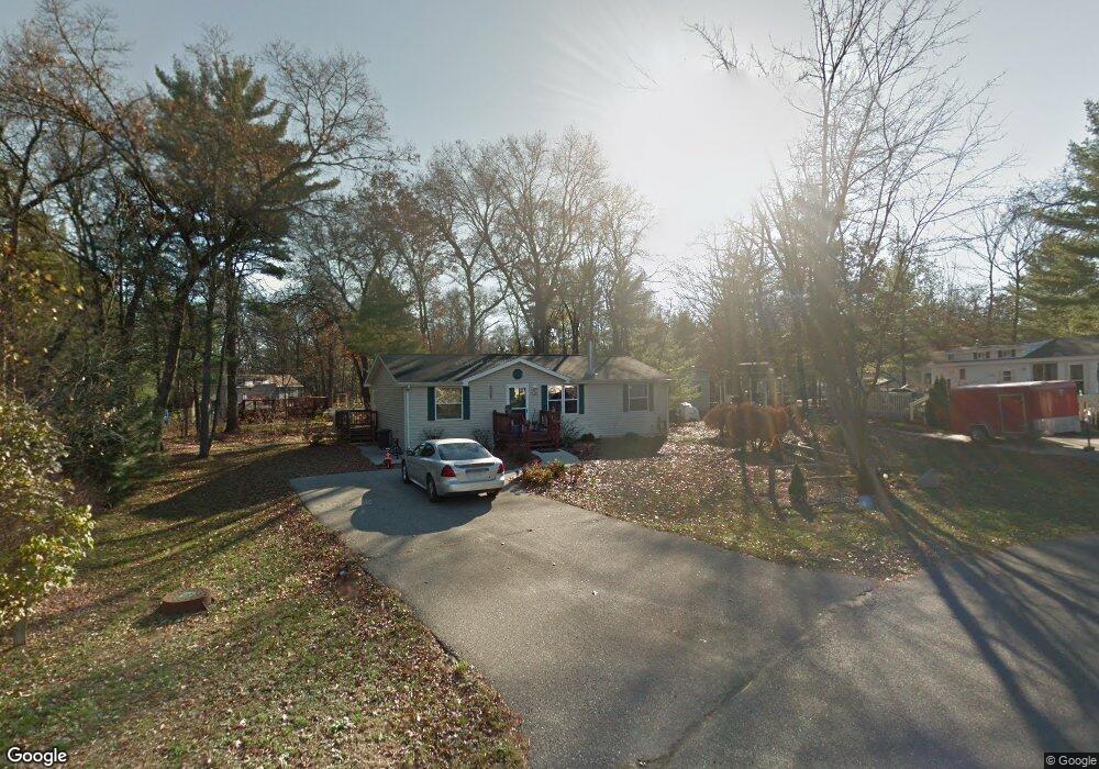
122 Arbor Dr Unit 34 Wisconsin Dells, WI 53965
Estimated Value: $211,000 - $265,484
--
Bed
2
Baths
--
Sq Ft
9,583
Sq Ft Lot
About This Home
This home is located at 122 Arbor Dr Unit 34, Wisconsin Dells, WI 53965 and is currently estimated at $234,871. 122 Arbor Dr Unit 34 is a home located in Sauk County with nearby schools including Wisconsin Dells High School.
Ownership History
Date
Name
Owned For
Owner Type
Purchase Details
Closed on
Aug 19, 2019
Sold by
Scislowski Ted
Bought by
Anderson Stephen C
Current Estimated Value
Home Financials for this Owner
Home Financials are based on the most recent Mortgage that was taken out on this home.
Original Mortgage
$99,000
Outstanding Balance
$65,139
Interest Rate
3.6%
Mortgage Type
New Conventional
Estimated Equity
$169,732
Purchase Details
Closed on
May 1, 2015
Sold by
Ford Sherri S and Schaaf Brian M
Bought by
Scislowski Ted
Purchase Details
Closed on
Sep 26, 2008
Sold by
Pennada Leonard C
Bought by
Ford Sheri S
Home Financials for this Owner
Home Financials are based on the most recent Mortgage that was taken out on this home.
Original Mortgage
$90,466
Interest Rate
6.43%
Mortgage Type
FHA
Create a Home Valuation Report for This Property
The Home Valuation Report is an in-depth analysis detailing your home's value as well as a comparison with similar homes in the area
Home Values in the Area
Average Home Value in this Area
Purchase History
| Date | Buyer | Sale Price | Title Company |
|---|---|---|---|
| Anderson Stephen C | $110,000 | Knight Barry Title Svc Llc | |
| Scislowski Ted | $96,000 | None Available | |
| Ford Sheri S | $92,000 | -- |
Source: Public Records
Mortgage History
| Date | Status | Borrower | Loan Amount |
|---|---|---|---|
| Open | Anderson Stephen C | $99,000 | |
| Previous Owner | Ford Sheri S | $90,466 |
Source: Public Records
Tax History Compared to Growth
Tax History
| Year | Tax Paid | Tax Assessment Tax Assessment Total Assessment is a certain percentage of the fair market value that is determined by local assessors to be the total taxable value of land and additions on the property. | Land | Improvement |
|---|---|---|---|---|
| 2024 | $2,255 | $212,700 | $28,700 | $184,000 |
| 2023 | $1,431 | $104,700 | $16,000 | $88,700 |
| 2022 | $1,434 | $104,700 | $16,000 | $88,700 |
| 2021 | $1,383 | $104,700 | $16,000 | $88,700 |
| 2020 | $1,433 | $104,700 | $16,000 | $88,700 |
| 2019 | $1,647 | $104,700 | $16,000 | $88,700 |
| 2018 | $1,681 | $104,700 | $16,000 | $88,700 |
| 2017 | $1,666 | $104,700 | $16,000 | $88,700 |
| 2016 | $1,662 | $101,500 | $38,500 | $63,000 |
| 2015 | $1,614 | $101,500 | $38,500 | $63,000 |
| 2014 | -- | $101,500 | $38,500 | $63,000 |
Source: Public Records
Map
Nearby Homes
- 117 Misty Pines Dr
- 143 Arbor Dr
- 128 Lake Shore Dr
- 123 Lake Shore Dr
- 129 Lake Shore Dr
- 100 Woodland Dr
- 147 Cliffside Dr
- 199 Cliffside Dr
- 127 Sugar Maple Cir
- 161 Lake Shore Dr
- 119 Sunset Cir
- 140 Ridge Dr
- 200 Cliffside Dr
- 237 Oakbrook Dr
- 272 Oakbrook Dr
- 252 Dogwood Ln
- 256 Dogwood Ln
- 306 Pine Meadow Ct
- 327 Dogwood Ln
- 507 Clara Ave
- 122 Arbor Dr
- 117 Spring Brook Dr
- 118 Arbor Dr Unit 33
- 126 Arbor Dr
- 121 Spring Brook Dr
- 113 Springbrook Dr
- 113 Spring Brook Dr
- 113 Spring Brook Dr Unit 74
- Lot 150 Arbor Dr
- 114 Arbor Dr Unit 114
- 114 Arbor Dr Unit 32
- 114 Arbor Dr
- 130 Arbor Dr
- 130 Arbor Dr
- 109 Spring Brook Dr
- 109 Spring Brook Dr Unit 73
- 131 Arbor Dr
- 116 Springbrook Dr
- 116 Spring Brook Dr
- 120 Spring Brook Dr