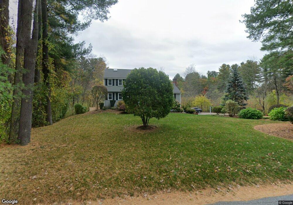
122 Austin Rd Sudbury, MA 01776
Estimated Value: $1,046,864 - $1,362,000
4
Beds
3
Baths
2,400
Sq Ft
$483/Sq Ft
Est. Value
About This Home
This home is located at 122 Austin Rd, Sudbury, MA 01776 and is currently estimated at $1,159,466, approximately $483 per square foot. 122 Austin Rd is a home located in Middlesex County with nearby schools including Peter Noyes Elementary School, Ephraim Curtis Middle School, and Lincoln-Sudbury Regional High School.
Ownership History
Date
Name
Owned For
Owner Type
Purchase Details
Closed on
Jan 5, 2016
Sold by
Lustig Michael M and Lustig Jacqueline A
Bought by
Austin Road 122 Rt and Lustig Michael M
Current Estimated Value
Purchase Details
Closed on
Oct 30, 1995
Sold by
Halter William J and Halter Patricia A
Bought by
Lustig Michael M and Lustig Jacqueline A
Home Financials for this Owner
Home Financials are based on the most recent Mortgage that was taken out on this home.
Original Mortgage
$264,000
Interest Rate
7.6%
Mortgage Type
Purchase Money Mortgage
Create a Home Valuation Report for This Property
The Home Valuation Report is an in-depth analysis detailing your home's value as well as a comparison with similar homes in the area
Home Values in the Area
Average Home Value in this Area
Purchase History
| Date | Buyer | Sale Price | Title Company |
|---|---|---|---|
| Austin Road 122 Rt | -- | -- | |
| Lustig Michael M | $330,000 | -- |
Source: Public Records
Mortgage History
| Date | Status | Borrower | Loan Amount |
|---|---|---|---|
| Previous Owner | Lustig Michael M | $261,400 | |
| Previous Owner | Lustig Michael M | $75,000 | |
| Previous Owner | Lustig Michael M | $264,000 | |
| Previous Owner | Lustig Michael M | $42,000 |
Source: Public Records
Tax History Compared to Growth
Tax History
| Year | Tax Paid | Tax Assessment Tax Assessment Total Assessment is a certain percentage of the fair market value that is determined by local assessors to be the total taxable value of land and additions on the property. | Land | Improvement |
|---|---|---|---|---|
| 2025 | $13,378 | $913,800 | $380,400 | $533,400 |
| 2024 | $12,877 | $881,400 | $369,100 | $512,300 |
| 2023 | $12,156 | $770,800 | $341,800 | $429,000 |
| 2022 | $11,902 | $659,400 | $313,400 | $346,000 |
| 2021 | $11,354 | $603,000 | $313,400 | $289,600 |
| 2020 | $11,125 | $603,000 | $313,400 | $289,600 |
| 2019 | $10,800 | $603,000 | $313,400 | $289,600 |
| 2018 | $10,649 | $593,900 | $329,900 | $264,000 |
| 2017 | $10,598 | $597,400 | $336,000 | $261,400 |
| 2016 | $10,292 | $578,200 | $323,100 | $255,100 |
| 2015 | $10,187 | $578,800 | $328,800 | $250,000 |
| 2014 | $10,171 | $564,100 | $319,100 | $245,000 |
Source: Public Records
Map
Nearby Homes
- 7 Saddle Ridge Rd
- 30 Rolling Ln
- 143 Peakham Rd
- 12 Hickory Rd
- 54 Stone Rd
- 0 Robbins Rd
- 21 Summer St
- 89 Bridle Path
- 0 Boston Post Rd
- 7 Adams Rd
- 24 Woodland Rd
- 123 Dutton Rd
- 270 Old Lancaster Rd
- 36 Old Forge Ln
- 1011 Boston Post Rd
- 47 Fairbank Rd
- 24 Goodnow Rd
- 128 Nobscot Rd
- 4 Elderberry Cir
- 12 Camperdown Ln