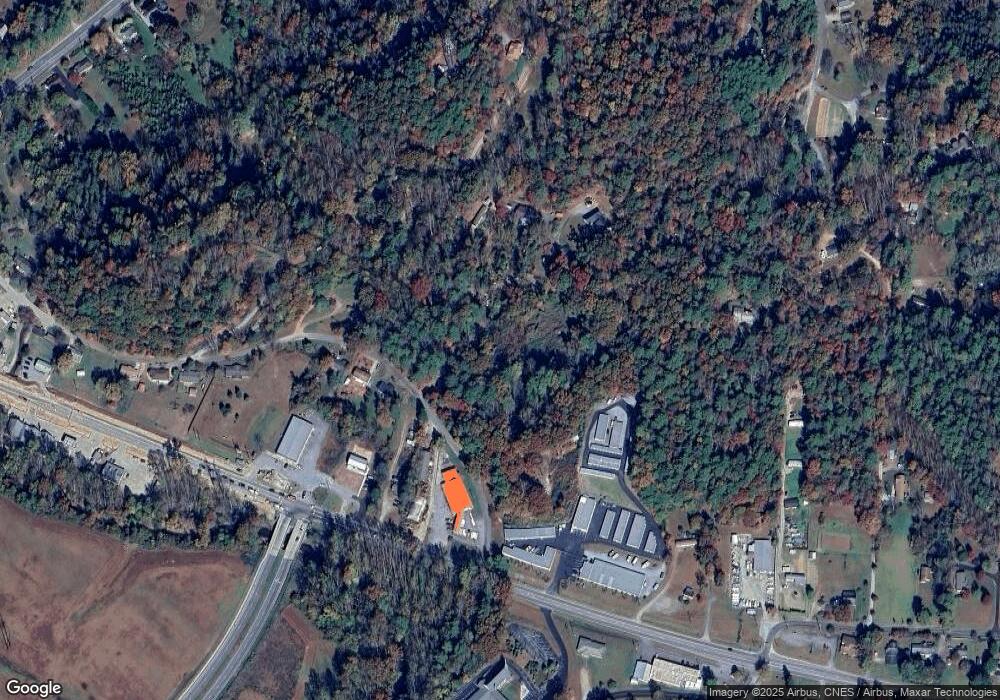
122 Azalea Hillside Cir Pisgah Forest, NC 28768
Estimated Value: $64,000 - $464,000
3
Beds
2
Baths
1,952
Sq Ft
$141/Sq Ft
Est. Value
About This Home
This home is located at 122 Azalea Hillside Cir, Pisgah Forest, NC 28768 and is currently estimated at $275,147, approximately $140 per square foot. 122 Azalea Hillside Cir is a home with nearby schools including Brevard Academy and Anchor Baptist Academy.
Ownership History
Date
Name
Owned For
Owner Type
Purchase Details
Closed on
Oct 11, 2017
Sold by
Daniels Connie J and Daniels Robert Lemuel
Bought by
Johnson Jean A and Rahn Matthew T
Current Estimated Value
Home Financials for this Owner
Home Financials are based on the most recent Mortgage that was taken out on this home.
Original Mortgage
$30,000
Outstanding Balance
$362
Interest Rate
3.83%
Mortgage Type
Seller Take Back
Estimated Equity
$274,785
Create a Home Valuation Report for This Property
The Home Valuation Report is an in-depth analysis detailing your home's value as well as a comparison with similar homes in the area
Home Values in the Area
Average Home Value in this Area
Purchase History
| Date | Buyer | Sale Price | Title Company |
|---|---|---|---|
| Johnson Jean A | $30,000 | None Available |
Source: Public Records
Mortgage History
| Date | Status | Borrower | Loan Amount |
|---|---|---|---|
| Open | Johnson Jean A | $30,000 |
Source: Public Records
Tax History Compared to Growth
Tax History
| Year | Tax Paid | Tax Assessment Tax Assessment Total Assessment is a certain percentage of the fair market value that is determined by local assessors to be the total taxable value of land and additions on the property. | Land | Improvement |
|---|---|---|---|---|
| 2025 | $531 | $110,560 | $110,560 | $0 |
| 2024 | $674 | $102,380 | $99,530 | $2,850 |
| 2023 | $674 | $102,380 | $99,530 | $2,850 |
| 2022 | $674 | $102,380 | $99,530 | $2,850 |
| 2021 | $669 | $102,380 | $99,530 | $2,850 |
| 2020 | $701 | $100,710 | $0 | $0 |
| 2019 | $696 | $100,710 | $0 | $0 |
| 2018 | $570 | $128,850 | $0 | $0 |
| 2017 | $729 | $128,850 | $0 | $0 |
| 2016 | $709 | $128,850 | $0 | $0 |
| 2015 | $813 | $192,630 | $73,710 | $118,920 |
| 2014 | $813 | $192,630 | $73,710 | $118,920 |
Source: Public Records
Map
Nearby Homes
- 200 Riley Ln
- ACROSS 675 Kayla West Dr W Unit MHP, 9 UNITS
- 35&61 Ahava Rd
- 15 1st St
- 1019 Hudlin Gap Rd
- TBD NorMcOl Rd
- 54 Hillside Heights
- 71 Laurel Mountain Rd
- 57 Big Branch Rd
- 398 NorMcOl Dr
- 55 Locust Ln
- 160 Tanglewood Heights
- 226 Pisgah Dr
- 4040 Asheville Hwy
- 63 Evergreen Cove
- 788 Old Nc 280
- 176 Pisgah Dr
- TBD Asheville Hwy
- SH11 Springhouse Trail
- Upper Camptown Rd Unit M106
- 279 Deavor Rd
- 151 Azalea Hillside Cir
- L5R S B Ridge Top Rd
- TBD Sideways Serpent Ln
- 175 Azalea Hillside Cir
- 81 Azalea Hillside Cir
- 425 Deavor Rd
- 162 Azalea Hillside Cir
- Lot 2 Deavor Rd Unit 2
- 308 Deavor Rd
- 348 Deavor Rd
- 324 Deavor Rd
- 240 Deavor Rd
- 654 Deavor Rd
- 642 Deavor Rd
- 385 Hendersonville Hwy
- 183 E Edwards Rd
- 367 Hendersonville Hwy
- 207 Chapman Hill Rd
- 72 Rhea Ln
