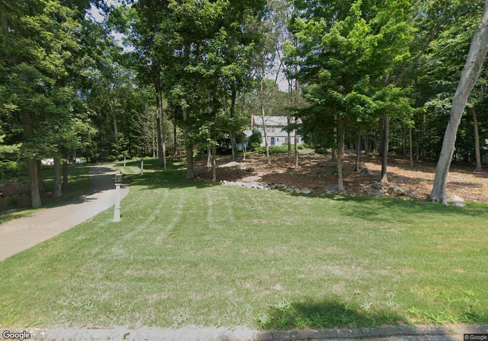
122 Bar Gate Trail Killingworth, CT 06419
Estimated Value: $506,000 - $697,000
3
Beds
3
Baths
2,538
Sq Ft
$242/Sq Ft
Est. Value
About This Home
This home is located at 122 Bar Gate Trail, Killingworth, CT 06419 and is currently estimated at $614,993, approximately $242 per square foot. 122 Bar Gate Trail is a home located in Middlesex County with nearby schools including Haddam-Killingworth High School.
Ownership History
Date
Name
Owned For
Owner Type
Purchase Details
Closed on
Oct 27, 2022
Sold by
Riedy Thomas P and Riedy Christen J
Bought by
Christen J Roedy Lt
Current Estimated Value
Purchase Details
Closed on
Dec 1, 1997
Sold by
Gill William and Gill Laurene A
Bought by
Riedy Thomas P and Reidy Chisten J
Purchase Details
Closed on
Jul 24, 1992
Sold by
Bunnell Paul and Bunnell Janice
Bought by
Gill William and Gill Laurene A
Create a Home Valuation Report for This Property
The Home Valuation Report is an in-depth analysis detailing your home's value as well as a comparison with similar homes in the area
Home Values in the Area
Average Home Value in this Area
Purchase History
| Date | Buyer | Sale Price | Title Company |
|---|---|---|---|
| Christen J Roedy Lt | -- | None Available | |
| Riedy Thomas P | $269,000 | -- | |
| Riedy Thomas P | $269,000 | -- | |
| Gill William | $255,000 | -- |
Source: Public Records
Mortgage History
| Date | Status | Borrower | Loan Amount |
|---|---|---|---|
| Previous Owner | Gill William | $348,500 | |
| Previous Owner | Gill William | $404,550 | |
| Previous Owner | Gill William | $89,758 |
Source: Public Records
Tax History Compared to Growth
Tax History
| Year | Tax Paid | Tax Assessment Tax Assessment Total Assessment is a certain percentage of the fair market value that is determined by local assessors to be the total taxable value of land and additions on the property. | Land | Improvement |
|---|---|---|---|---|
| 2025 | $7,432 | $283,430 | $74,900 | $208,530 |
| 2024 | $6,865 | $283,430 | $74,900 | $208,530 |
| 2023 | $6,652 | $283,430 | $74,900 | $208,530 |
| 2022 | $6,581 | $283,430 | $74,900 | $208,530 |
| 2021 | $6,738 | $252,160 | $85,360 | $166,800 |
| 2020 | $6,738 | $252,160 | $85,360 | $166,800 |
| 2019 | $6,927 | $252,160 | $85,360 | $166,800 |
| 2018 | $6,927 | $252,160 | $85,360 | $166,800 |
| 2017 | $6,927 | $252,160 | $85,360 | $166,800 |
| 2016 | $6,643 | $256,580 | $124,940 | $131,640 |
| 2015 | $6,474 | $256,580 | $124,940 | $131,640 |
| 2014 | $6,294 | $256,580 | $124,940 | $131,640 |
Source: Public Records
Map
Nearby Homes
- 48 Bar Gate Trail
- 132 Summer Hill Rd
- 174 Concord Dr
- 197 Concord Dr
- 728 Durham Rd
- 30 Chestnut Hill Rd
- 48 Shepherds Trail
- 677 Durham Rd
- 40 Legend Hill Rd
- 23 Horsebarn Ln
- 1071 Durham Rd
- 20 Strawberry Hill Rd
- 39 Stepping Stone Ln
- 25 Copperstone Ln
- 462 Horse Pond Rd
- 454 Horse Pond Rd Unit B
- 454 Horse Pond Rd Unit D
- 454 Horse Pond Rd Unit C
- 18 Deepwood Dr
- 60 Robin Ridge Dr
- 116 Bar Gate Trail
- 128 Bar Gate Trail
- 117 Bar Gate Trail
- 110 Bar Gate Trail
- 125 Bar Gate Trail
- 121 Bar Gate Trail
- 127 Bar Gate Trail
- 134 Bar Gate Trail
- 115 Bar Gate Trail
- 135 Bar Gate Trail
- 106 Bar Gate Trail
- 109 Bar Gate Trail
- 141 Bar Gate Trail
- 17 Running Brook Dr
- 6 Stone Pasture Ln
- 104 Bar Gate Trail
- 15 Running Brook Dr
- 103 Bar Gate Trail
- Lot 7B Weatherly Trail-Country Wood
- 2 Meigswood Condo