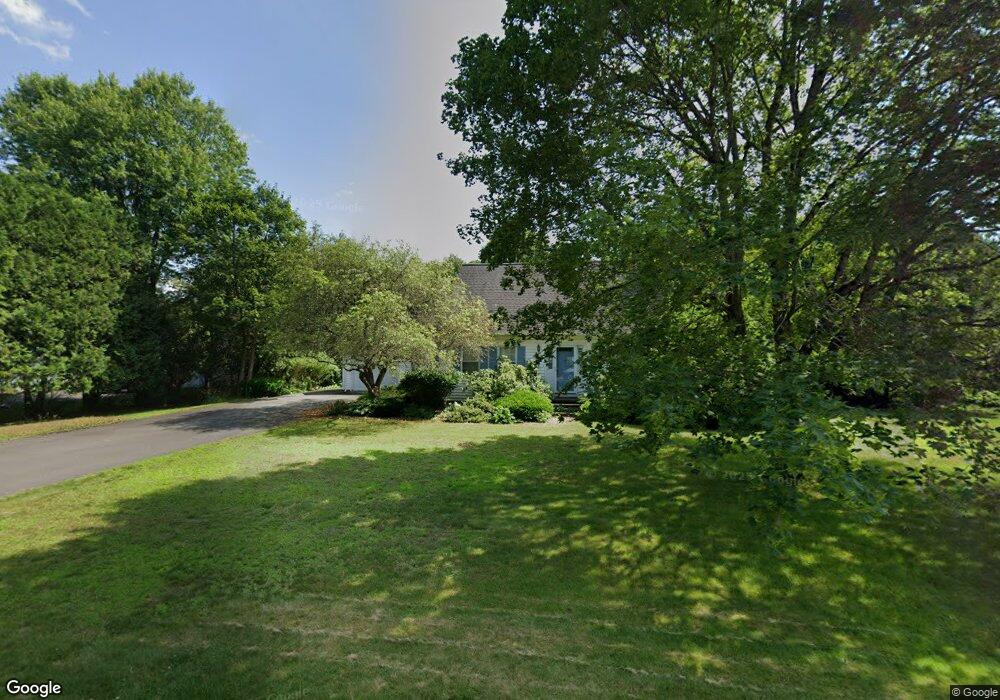
122 Barton Rd Greenfield, MA 01301
Estimated Value: $397,071 - $578,000
3
Beds
2
Baths
1,638
Sq Ft
$273/Sq Ft
Est. Value
About This Home
This home is located at 122 Barton Rd, Greenfield, MA 01301 and is currently estimated at $447,018, approximately $272 per square foot. 122 Barton Rd is a home located in Franklin County with nearby schools including Greenfield Center School.
Ownership History
Date
Name
Owned For
Owner Type
Purchase Details
Closed on
Mar 23, 1992
Sold by
Schrepper Richard and Schrepper Cindy S
Bought by
Garmalo Mark F and Garmalo Emily
Current Estimated Value
Home Financials for this Owner
Home Financials are based on the most recent Mortgage that was taken out on this home.
Original Mortgage
$111,750
Interest Rate
8.62%
Mortgage Type
Purchase Money Mortgage
Purchase Details
Closed on
May 15, 1989
Sold by
Beck George R
Bought by
Schrepper Richard
Home Financials for this Owner
Home Financials are based on the most recent Mortgage that was taken out on this home.
Original Mortgage
$145,000
Interest Rate
11.14%
Mortgage Type
Purchase Money Mortgage
Create a Home Valuation Report for This Property
The Home Valuation Report is an in-depth analysis detailing your home's value as well as a comparison with similar homes in the area
Home Values in the Area
Average Home Value in this Area
Purchase History
| Date | Buyer | Sale Price | Title Company |
|---|---|---|---|
| Garmalo Mark F | $149,000 | -- | |
| Garmalo Mark F | $149,000 | -- | |
| Schrepper Richard | $168,000 | -- | |
| Schrepper Richard | $168,000 | -- |
Source: Public Records
Mortgage History
| Date | Status | Borrower | Loan Amount |
|---|---|---|---|
| Closed | Schrepper Richard | $111,750 | |
| Previous Owner | Schrepper Richard | $145,000 |
Source: Public Records
Tax History
| Year | Tax Paid | Tax Assessment Tax Assessment Total Assessment is a certain percentage of the fair market value that is determined by local assessors to be the total taxable value of land and additions on the property. | Land | Improvement |
|---|---|---|---|---|
| 2025 | $6,472 | $330,900 | $85,700 | $245,200 |
| 2024 | $6,488 | $318,200 | $73,100 | $245,100 |
| 2023 | $5,848 | $297,600 | $73,100 | $224,500 |
| 2022 | $6,062 | $271,600 | $73,400 | $198,200 |
| 2021 | $5,772 | $248,600 | $77,400 | $171,200 |
| 2020 | $5,579 | $243,300 | $77,400 | $165,900 |
| 2019 | $5,248 | $234,700 | $67,800 | $166,900 |
| 2018 | $5,206 | $232,100 | $66,600 | $165,500 |
| 2017 | $5,044 | $232,100 | $66,600 | $165,500 |
| 2016 | $5,106 | $234,100 | $66,600 | $167,500 |
| 2015 | $5,090 | $226,100 | $68,200 | $157,900 |
| 2014 | $4,654 | $226,700 | $68,200 | $158,500 |
Source: Public Records
Map
Nearby Homes
- 85 Verde Dr
- 108 Nelson Rd
- 151 Smead Hill Rd
- 402 Country Side Rd
- 306 Country Side Rd
- 001 Adams Rd
- 77 Summer St
- 539 Fox Hill Rd
- 111 South St
- 171 Cleveland St
- 37 Cleveland St
- 0 Fox Hill Rd Unit 73477185
- 23 Industrial Dr
- 1 Northfield Rd
- Lot 9 Fox Hill Rd (Off)
- 173-175 Conway St
- 0 Frizzell Hill Rd Unit 73493472
- 59-61 Conway St
- 116 Bald Mountain Rd
- 11 Conway St
Your Personal Tour Guide
Ask me questions while you tour the home.