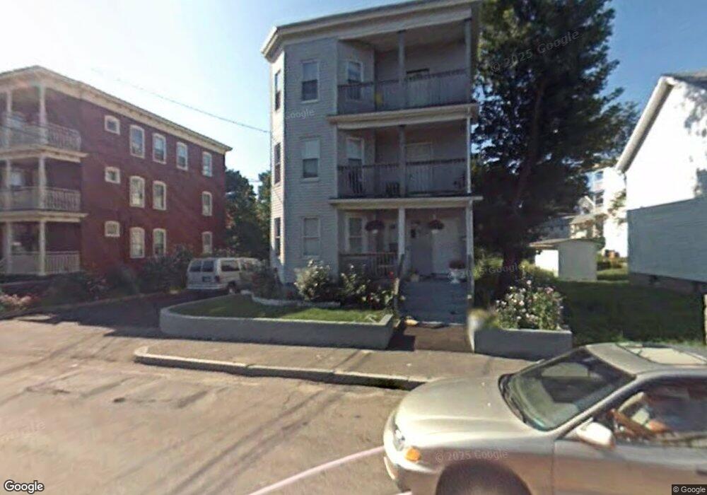
122 Battles St Brockton, MA 02301
Estimated Value: $879,000 - $1,184,000
6
Beds
3
Baths
3,996
Sq Ft
$249/Sq Ft
Est. Value
About This Home
This home is located at 122 Battles St, Brockton, MA 02301 and is currently estimated at $997,000, approximately $249 per square foot. 122 Battles St is a home located in Plymouth County with nearby schools including Louis F Angelo Elementary School, Manthala George Jr. School, and Raymond K-8 Elementary School.
Ownership History
Date
Name
Owned For
Owner Type
Purchase Details
Closed on
Sep 30, 2025
Sold by
Santos Maria R
Bought by
Santos Rt and Santos
Current Estimated Value
Purchase Details
Closed on
Jan 9, 1996
Sold by
75 West Ashland St T and Harriman
Bought by
Santos Maria R
Purchase Details
Closed on
Apr 26, 1995
Sold by
Trocki Mark T and Trocki Carol A
Bought by
75 West Ashland St Rt and Harriman
Create a Home Valuation Report for This Property
The Home Valuation Report is an in-depth analysis detailing your home's value as well as a comparison with similar homes in the area
Home Values in the Area
Average Home Value in this Area
Purchase History
| Date | Buyer | Sale Price | Title Company |
|---|---|---|---|
| Santos Rt | -- | -- | |
| Santos Maria R | $33,000 | -- | |
| 75 West Ashland St Rt | $62,435 | -- |
Source: Public Records
Mortgage History
| Date | Status | Borrower | Loan Amount |
|---|---|---|---|
| Previous Owner | 75 West Ashland St Rt | $185,000 | |
| Previous Owner | 75 West Ashland St Rt | $25,000 |
Source: Public Records
Tax History Compared to Growth
Tax History
| Year | Tax Paid | Tax Assessment Tax Assessment Total Assessment is a certain percentage of the fair market value that is determined by local assessors to be the total taxable value of land and additions on the property. | Land | Improvement |
|---|---|---|---|---|
| 2025 | $9,305 | $768,400 | $140,300 | $628,100 |
| 2024 | $8,895 | $740,000 | $140,300 | $599,700 |
| 2023 | $7,897 | $608,400 | $105,400 | $503,000 |
| 2022 | $7,439 | $532,500 | $95,800 | $436,700 |
| 2021 | $7,099 | $489,600 | $79,800 | $409,800 |
| 2020 | $6,492 | $428,500 | $74,500 | $354,000 |
| 2019 | $6,279 | $408,200 | $72,600 | $335,600 |
| 2018 | $5,460 | $340,000 | $72,600 | $267,400 |
| 2017 | $5,466 | $339,500 | $72,600 | $266,900 |
| 2016 | $5,210 | $300,100 | $70,500 | $229,600 |
| 2015 | $4,098 | $225,800 | $70,500 | $155,300 |
| 2014 | $3,873 | $213,600 | $70,500 | $143,100 |
Source: Public Records
Map
Nearby Homes
- 124 Battles St
- 122 Battles St Unit 3
- 126 Battles St
- 118 Battles St
- 106 Battles St
- 130 Battles St
- 159 Cherry St
- 123 Battles St
- 111 Battles St
- 155 Cherry St
- 100 Battles St
- 71 Richmond St
- 103 Battles St
- 75 Richmond St
- 61 Richmond St
- 65 Richmond St
- 65 Richmond St Unit 2
- 65 Richmond St Unit 3
- 144 Battles St
- 15 Porter St