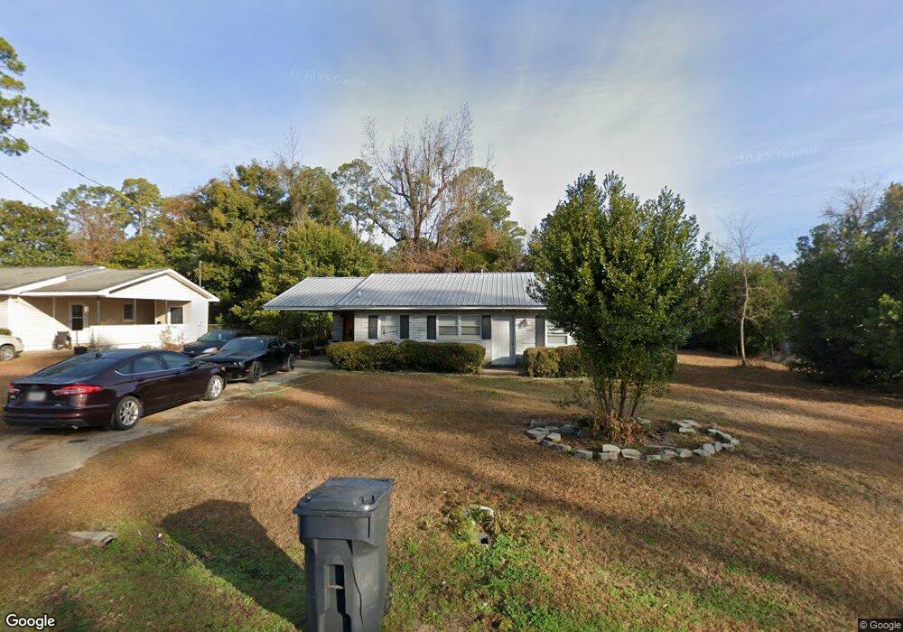
122 Bremond St Colquitt, GA 39837
Estimated Value: $65,000 - $103,000
3
Beds
1
Bath
1,073
Sq Ft
$82/Sq Ft
Est. Value
About This Home
This home is located at 122 Bremond St, Colquitt, GA 39837 and is currently estimated at $87,552, approximately $81 per square foot. 122 Bremond St is a home located in Miller County with nearby schools including Miller County Elementary School, Miller County Middle School, and Miller County High School.
Ownership History
Date
Name
Owned For
Owner Type
Purchase Details
Closed on
May 15, 2015
Sold by
Haire Huey
Bought by
Enfinger Properties Llc
Current Estimated Value
Home Financials for this Owner
Home Financials are based on the most recent Mortgage that was taken out on this home.
Original Mortgage
$28,083
Interest Rate
3.79%
Mortgage Type
New Conventional
Purchase Details
Closed on
Dec 5, 2005
Sold by
Eubanks Peggye V
Bought by
Haire Huey
Purchase Details
Closed on
Oct 8, 2002
Sold by
Eubanks Carolyn T
Bought by
Eubanks Peggye V
Purchase Details
Closed on
Mar 5, 1991
Sold by
Henry Bronnie L and Henry Inez N
Bought by
Eubanks Carolyn T
Create a Home Valuation Report for This Property
The Home Valuation Report is an in-depth analysis detailing your home's value as well as a comparison with similar homes in the area
Purchase History
| Date | Buyer | Sale Price | Title Company |
|---|---|---|---|
| Enfinger Properties Llc | $27,500 | -- | |
| Haire Huey | $30,000 | -- | |
| Eubanks Peggye V | -- | -- | |
| Eubanks Carolyn T | $28,000 | -- |
Source: Public Records
Mortgage History
| Date | Status | Borrower | Loan Amount |
|---|---|---|---|
| Closed | Enfinger Properties Llc | $28,083 |
Source: Public Records
Tax History
| Year | Tax Paid | Tax Assessment Tax Assessment Total Assessment is a certain percentage of the fair market value that is determined by local assessors to be the total taxable value of land and additions on the property. | Land | Improvement |
|---|---|---|---|---|
| 2024 | $976 | $22,937 | $2,462 | $20,475 |
| 2023 | $657 | $14,738 | $2,462 | $12,276 |
| 2022 | $436 | $11,403 | $1,448 | $9,955 |
| 2021 | $432 | $11,403 | $1,448 | $9,955 |
| 2020 | $442 | $11,684 | $1,448 | $10,236 |
| 2019 | $444 | $11,684 | $1,448 | $10,236 |
| 2018 | $547 | $11,684 | $1,448 | $10,236 |
| 2017 | $547 | $11,684 | $1,448 | $10,236 |
| 2016 | $431 | $11,684 | $1,448 | $10,236 |
| 2015 | -- | $11,986 | $1,158 | $10,828 |
| 2014 | -- | $11,986 | $1,158 | $10,828 |
| 2013 | -- | $11,986 | $1,158 | $10,828 |
Source: Public Records
Map
Nearby Homes
- 392 E Bush St
- 244 E Grow St
- 357 S 1st St
- 203 W Bush St
- US 27 Us Highway 27
- 570 E Pine St
- 300 N First St
- 000 Thompson Town Rd
- 708 E Crawford St
- 721 E Crawford St
- 000 Bellview Rd
- 1203 Bellview Rd
- 113 Crooked Oak Ln
- 745 Harmony Church Rd
- 430 Cox Rd
- 74 Harmony Church Rd
- 1645 Georgia 91
- 4953 Georgia 45
- 994 Hornsby Rd
- 1514 Whites Bridge Rd
- 124 Bremond St
- 120 Bremond St
- 126 Bremond St
- 121 Bremond St
- 177 E Crawford St
- 119 Bremond St
- 123 Bremond St
- 175 E Crawford St
- 117 Bremond St
- 402 S Third St
- 115 Bremond St
- 201 Bremond St
- 398 E Bush St
- 114 Bremond St
- 308 E College St
- 203 Bremond St
- 203 Bremond St
- 173 E Crawford St
- 402 E Bush St
- 316 E College St
Your Personal Tour Guide
Ask me questions while you tour the home.