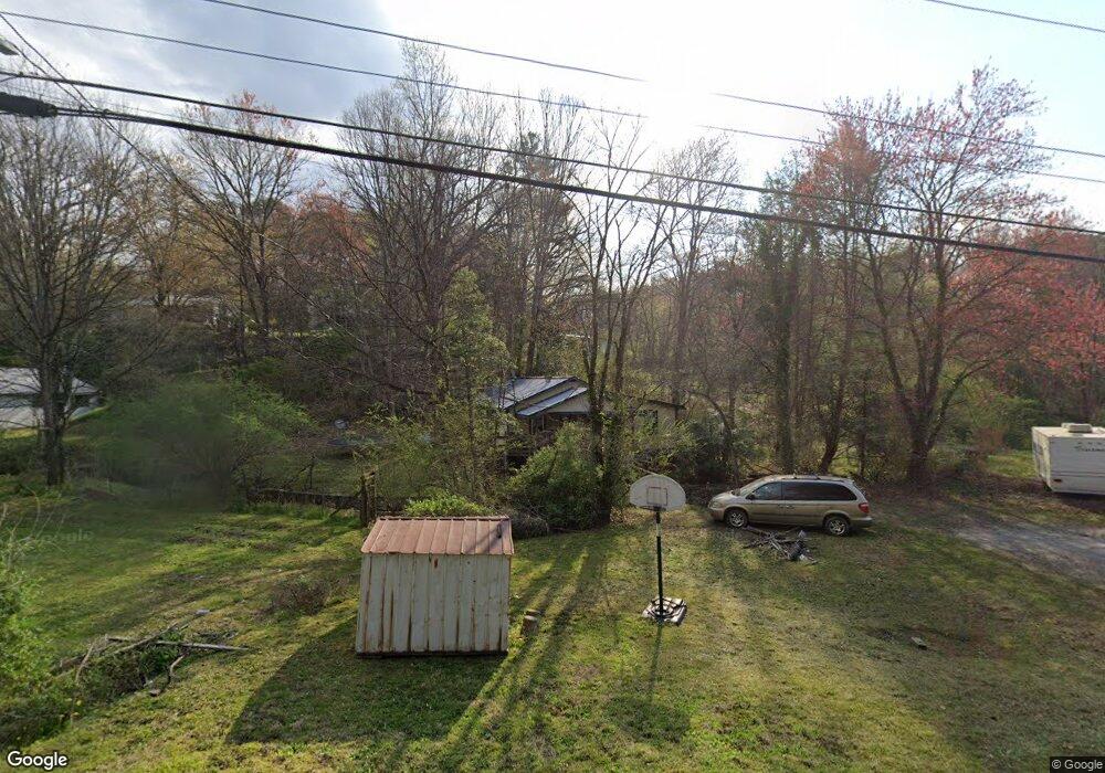
122 Bryson Branch Rd Bryson City, NC 28713
Estimated Value: $164,409 - $279,000
2
Beds
1
Bath
1,150
Sq Ft
$184/Sq Ft
Est. Value
About This Home
This home is located at 122 Bryson Branch Rd, Bryson City, NC 28713 and is currently estimated at $212,102, approximately $184 per square foot. 122 Bryson Branch Rd is a home located in Swain County with nearby schools including Swain County Middle School, Swain County West Elementary School, and Swain County High School.
Ownership History
Date
Name
Owned For
Owner Type
Purchase Details
Closed on
May 12, 2005
Sold by
Barker Correna E and Barker Leslie George
Bought by
Davis Barbara E
Current Estimated Value
Home Financials for this Owner
Home Financials are based on the most recent Mortgage that was taken out on this home.
Original Mortgage
$82,500
Outstanding Balance
$43,402
Interest Rate
5.98%
Mortgage Type
New Conventional
Estimated Equity
$168,700
Create a Home Valuation Report for This Property
The Home Valuation Report is an in-depth analysis detailing your home's value as well as a comparison with similar homes in the area
Home Values in the Area
Average Home Value in this Area
Purchase History
| Date | Buyer | Sale Price | Title Company |
|---|---|---|---|
| Davis Barbara E | $82,500 | -- |
Source: Public Records
Mortgage History
| Date | Status | Borrower | Loan Amount |
|---|---|---|---|
| Open | Davis Barbara E | $82,500 |
Source: Public Records
Tax History Compared to Growth
Tax History
| Year | Tax Paid | Tax Assessment Tax Assessment Total Assessment is a certain percentage of the fair market value that is determined by local assessors to be the total taxable value of land and additions on the property. | Land | Improvement |
|---|---|---|---|---|
| 2025 | $410 | $72,070 | $31,280 | $40,790 |
| 2024 | $410 | $72,070 | $31,280 | $40,790 |
| 2023 | $374 | $72,070 | $31,280 | $40,790 |
| 2022 | $374 | $72,070 | $31,280 | $40,790 |
| 2021 | $374 | $72,070 | $0 | $0 |
| 2020 | $249 | $48,460 | $24,080 | $24,380 |
| 2019 | $249 | $48,460 | $24,080 | $24,380 |
| 2018 | $249 | $48,460 | $24,080 | $24,380 |
| 2017 | $249 | $48,460 | $24,080 | $24,380 |
| 2016 | $249 | $48,460 | $24,080 | $24,380 |
| 2015 | -- | $48,460 | $24,080 | $24,380 |
| 2014 | -- | $48,460 | $24,080 | $24,380 |
Source: Public Records
Map
Nearby Homes
- 0 Franklin Grove Church Rd Unit CAR4293408
- 0 Franklin Grove Church Rd Unit 26041872
- 1080 Bryson Branch Rd
- 46 Herbert Ln
- 00 Slope Street Yona Trail Park Ave
- 210 Oak Grove Rd
- 170 Polaris Way
- 670 Franklin Grove Rd
- 181 Dunbar St
- 101 Waters Edge
- 71 Mountain Trace Point
- 15 Pinehurst Dr
- 70 Valley Ln
- 119 Towaliga Dr
- Lot 24 Piedmont Dr
- Lot 24 Piedmont Rd
- 47 Pinehurst Dr
- 75 Pinehurst Dr
- 00 White Oaks Rd
- 0 Towaliga Dr Unit 94 CAR4256205
- 112 Bryson Branch Rd
- 100 Bryson Branch Rd
- 14 Bob Jenkins Rd
- 41 Lindy Heights
- 4 Bob Jenkins Rd
- 15 Lindy Heights
- 45 Lindy Heights
- 20 Circle Rd
- 70 Bob Jenkins Rd
- 61 Lindy Heights
- 76 Lindy Heights
- 89 Lindy Heights
- 56 Bryson Branch Rd
- 27 Circle Rd
- 164 Bob Jenkins Rd
- 0 Bryson Branch Rd
- 104 Gossett Rd
- 0 Bob Jenkins Rd
- 7 Jordan Rd
- 172 Gossett Rd