122 Cat Rock Rd Cos Cob, CT 06807
Estimated Value: $3,399,731 - $4,802,000
5
Beds
5
Baths
4,174
Sq Ft
$968/Sq Ft
Est. Value
About This Home
This home is located at 122 Cat Rock Rd, Cos Cob, CT 06807 and is currently estimated at $4,041,183, approximately $968 per square foot. 122 Cat Rock Rd is a home located in Fairfield County with nearby schools including North Street School, Central Middle School, and Greenwich High School.
Ownership History
Date
Name
Owned For
Owner Type
Purchase Details
Closed on
Aug 12, 2009
Sold by
Tennenbaum David and Goldman Jodi L
Bought by
Cohen Andrew P and Rouzeau Lydia R
Current Estimated Value
Purchase Details
Closed on
Mar 28, 2000
Sold by
Mullen Michael J and Mullen Tracy A
Bought by
Tennenbaum David and Goldman Jodi L
Create a Home Valuation Report for This Property
The Home Valuation Report is an in-depth analysis detailing your home's value as well as a comparison with similar homes in the area
Home Values in the Area
Average Home Value in this Area
Purchase History
| Date | Buyer | Sale Price | Title Company |
|---|---|---|---|
| Cohen Andrew P | $2,475,000 | -- | |
| Tennenbaum David | $2,125,000 | -- |
Source: Public Records
Mortgage History
| Date | Status | Borrower | Loan Amount |
|---|---|---|---|
| Open | Tennenbaum David | $1,419,000 | |
| Closed | Tennenbaum David | $1,684,000 | |
| Closed | Tennenbaum David | $1,790,000 |
Source: Public Records
Tax History Compared to Growth
Tax History
| Year | Tax Paid | Tax Assessment Tax Assessment Total Assessment is a certain percentage of the fair market value that is determined by local assessors to be the total taxable value of land and additions on the property. | Land | Improvement |
|---|---|---|---|---|
| 2025 | $20,184 | $1,676,430 | $681,800 | $994,630 |
| 2024 | $19,631 | $1,676,430 | $681,800 | $994,630 |
| 2023 | $19,095 | $1,676,430 | $681,800 | $994,630 |
| 2022 | $18,910 | $1,676,430 | $681,800 | $994,630 |
| 2021 | $20,365 | $1,757,140 | $620,480 | $1,136,660 |
| 2020 | $20,365 | $1,757,140 | $620,480 | $1,136,660 |
| 2019 | $20,523 | $1,757,140 | $620,480 | $1,136,660 |
| 2018 | $19,979 | $1,757,140 | $620,480 | $1,136,660 |
| 2017 | $20,065 | $1,764,700 | $620,480 | $1,144,220 |
| 2016 | $18,193 | $1,624,350 | $620,480 | $1,003,870 |
| 2015 | $21,127 | $1,874,600 | $1,030,610 | $843,990 |
| 2014 | $20,564 | $1,874,600 | $1,030,610 | $843,990 |
Source: Public Records
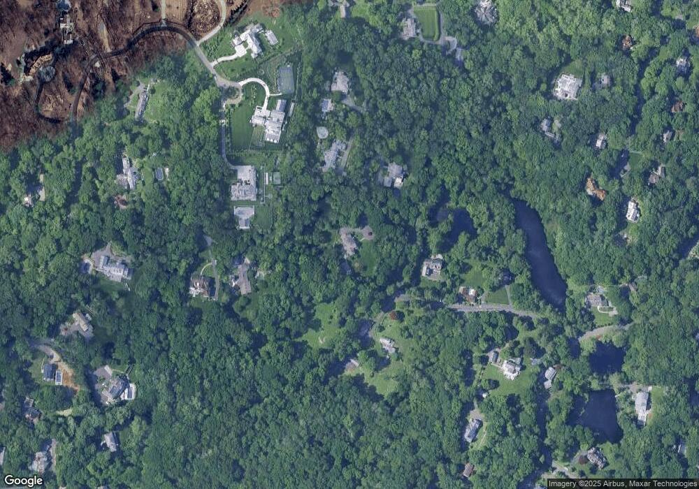
Map
Nearby Homes
- 34 Dublin Hill Rd
- 10 Tomahawk Ln
- 6 Fox Hollow Ln
- 9 Walnut St
- 24 Sawmill Ln
- 333 Palmer Hill Rd Unit 2E
- 92 Hillcrest Park Rd
- 116 Hillcrest Park Rd
- 43 Sawmill Ln
- 75 W Glen Dr
- 382 North St
- 10 Copper Beech Rd
- 50 Dingletown Rd
- 67 Cos Cob Ave
- 116 Birch Ln
- 7 Parsonage Rd
- 7 Pleasant View Place
- 88 Valleywood Rd
- 24 Harold St Unit E
- 490 North St
- 126 Cat Rock Rd
- 130 Cat Rock Rd
- 113 Cat Rock Rd
- 52 Dublin Hill Rd
- 27 Dublin Hill Rd
- 114 Cat Rock Rd
- 112 Cat Rock Rd
- 105 Cat Rock Rd
- 1 Cat Rock Rd
- 25 Dublin Hill Rd
- 25 Dublin Hill Rd
- 84 Cat Rock Rd
- 50 Dublin Hill Rd
- 134 Cat Rock Rd
- 100 Cat Rock Rd
- 136 Cat Rock Rd
- 31 Dublin Hill Rd
- 225 Bible St
- 121 Cat Rock Rd
- 31 Dublin Hill Dr