122 Cloudcroft Ridge Whittier, NC 28789
Estimated Value: $491,000 - $533,000
3
Beds
3
Baths
2,301
Sq Ft
$222/Sq Ft
Est. Value
About This Home
This home is located at 122 Cloudcroft Ridge, Whittier, NC 28789 and is currently estimated at $509,837, approximately $221 per square foot. 122 Cloudcroft Ridge is a home with nearby schools including Smokey Mountain Elementary School and Smoky Mountain High School.
Ownership History
Date
Name
Owned For
Owner Type
Purchase Details
Closed on
Aug 27, 2015
Sold by
Bowers Stephen E and Bowers Cherie
Bought by
Randall Robert D and Randall Beth B
Current Estimated Value
Home Financials for this Owner
Home Financials are based on the most recent Mortgage that was taken out on this home.
Original Mortgage
$7,000
Interest Rate
4.16%
Mortgage Type
Purchase Money Mortgage
Create a Home Valuation Report for This Property
The Home Valuation Report is an in-depth analysis detailing your home's value as well as a comparison with similar homes in the area
Home Values in the Area
Average Home Value in this Area
Purchase History
| Date | Buyer | Sale Price | Title Company |
|---|---|---|---|
| Randall Robert D | $17,500 | None Available |
Source: Public Records
Mortgage History
| Date | Status | Borrower | Loan Amount |
|---|---|---|---|
| Closed | Randall Robert D | $7,000 |
Source: Public Records
Tax History Compared to Growth
Tax History
| Year | Tax Paid | Tax Assessment Tax Assessment Total Assessment is a certain percentage of the fair market value that is determined by local assessors to be the total taxable value of land and additions on the property. | Land | Improvement |
|---|---|---|---|---|
| 2025 | $2,214 | $582,630 | $34,930 | $547,700 |
| 2024 | $1,451 | $381,800 | $41,490 | $340,310 |
| 2023 | $1,576 | $381,800 | $41,490 | $340,310 |
| 2022 | $1,576 | $381,800 | $41,490 | $340,310 |
| 2021 | $1,451 | $381,800 | $41,490 | $340,310 |
| 2020 | $1,263 | $310,260 | $29,640 | $280,620 |
| 2019 | $1,263 | $310,260 | $29,640 | $280,620 |
| 2018 | $1,203 | $294,510 | $29,640 | $264,870 |
| 2017 | $194 | $253,560 | $29,640 | $223,920 |
| 2015 | $147 | $29,640 | $29,640 | $0 |
| 2011 | -- | $52,490 | $52,490 | $0 |
Source: Public Records
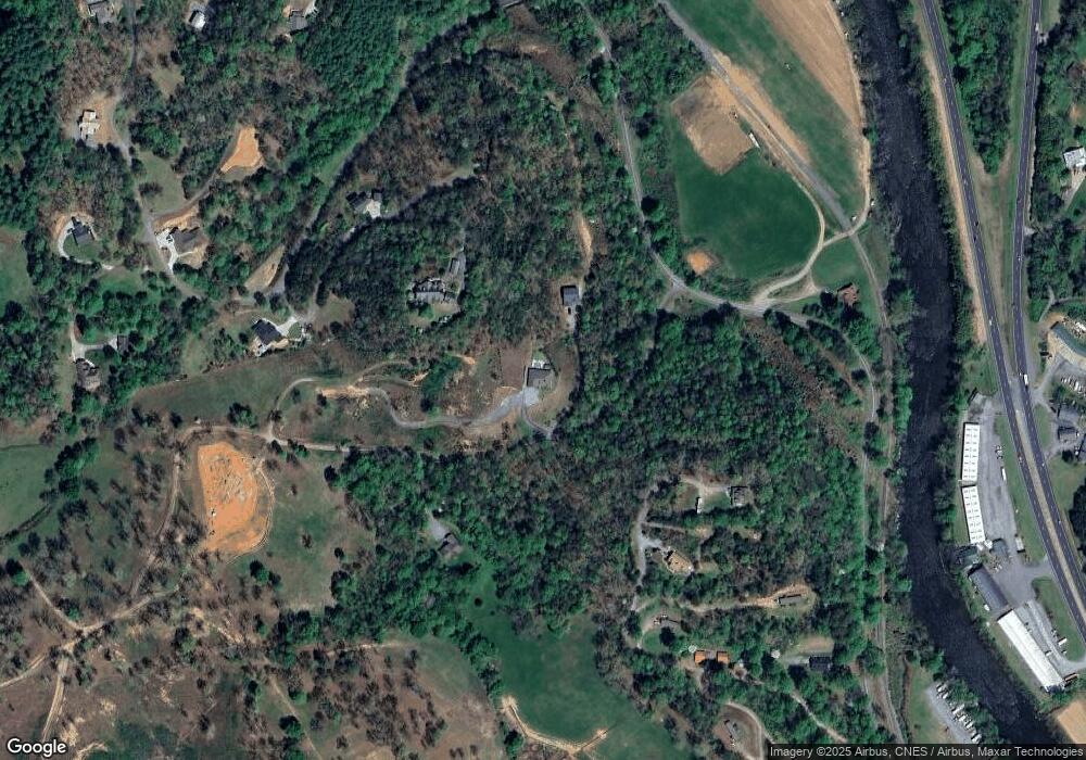
Map
Nearby Homes
- 130 Hope Terrace Rd
- 219 Sandalwood Dr
- 627 Worley Farm Rd
- 245 Bear Paw Ridge
- 1044 Bumgarner Cemetery Rd
- Lot 84 Black Rock Creek
- 66 Coopers Farm Rd
- LT 18 Mountaineer Rd
- 267 Hensley Cemetery Rd
- 0 Treyburn Oaks Dr Unit 26040277
- 0 Treyburn Oaks Dr
- 15 Tika Dr
- 00 Cougar Ln
- 000 Levi Mathis Rd
- 0 Bradley Branch Rd
- 214 Whittier Heights Rd
- Lot 30 Canvas Back Ct
- 102 Canvas Back Ct
- 98 Lonesome Dove Ln
- 0 Sunset Ridge
- LT1 Cloudcroft Ridge
- 1 Thomas Valley Rd
- 28 Thomas Valley Rd
- 100 Bunting Trail Unit 5-9
- 100 Bunting Trail
- 29 Thomas Valley Rd
- 195 Cloudcroft Ridge
- 294 Sleepy Hollow
- 236 Sleepy Hollow Dr
- 236 Sleepy Hollow
- 294 Sleepy Hollow
- 97 Bunting Trail
- 294 Sleepy Hollow Dr
- 3404 Thomas Valley Rd
- 132 E Valleyvista Ln
- 15 Stekoih Hills Dr
- 21 Stekoih Hills Dr
- 24 Stekoih Hills Dr
- 23 Stekoih Hills Dr
- Lot 23 & 24 Stekoih Hills Dr Unit 23 & 24