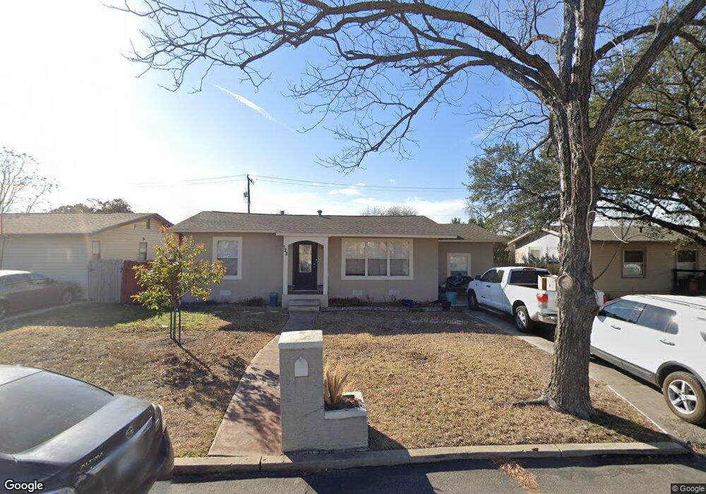
122 Colton Dr San Antonio, TX 78209
Lincoln Heights NeighborhoodEstimated Value: $249,000 - $271,000
3
Beds
1
Bath
1,285
Sq Ft
$202/Sq Ft
Est. Value
About This Home
This home is located at 122 Colton Dr, San Antonio, TX 78209 and is currently estimated at $259,911, approximately $202 per square foot. 122 Colton Dr is a home located in Bexar County with nearby schools including Woodridge Elementary School, Alamo Heights Junior School, and Alamo Heights High School.
Ownership History
Date
Name
Owned For
Owner Type
Purchase Details
Closed on
Nov 16, 2012
Sold by
Cortes Nancy and Moreno Oscar
Bought by
2015 Properties Llc
Current Estimated Value
Purchase Details
Closed on
Jan 22, 2008
Sold by
Pogue Kenneth W
Bought by
Cortes Nancy and Moreno Oscar
Create a Home Valuation Report for This Property
The Home Valuation Report is an in-depth analysis detailing your home's value as well as a comparison with similar homes in the area
Home Values in the Area
Average Home Value in this Area
Purchase History
| Date | Buyer | Sale Price | Title Company |
|---|---|---|---|
| 2015 Properties Llc | -- | Fatco Sa | |
| Cortes Nancy | -- | Chicago Title |
Source: Public Records
Tax History Compared to Growth
Tax History
| Year | Tax Paid | Tax Assessment Tax Assessment Total Assessment is a certain percentage of the fair market value that is determined by local assessors to be the total taxable value of land and additions on the property. | Land | Improvement |
|---|---|---|---|---|
| 2025 | $5,177 | $230,000 | $171,560 | $58,440 |
| 2024 | $5,177 | $230,000 | $171,560 | $58,440 |
| 2023 | $5,177 | $230,000 | $171,560 | $58,440 |
| 2022 | $4,939 | $204,000 | $118,480 | $85,520 |
| 2021 | $4,600 | $184,340 | $103,030 | $81,310 |
| 2020 | $4,605 | $184,340 | $82,980 | $101,360 |
| 2019 | $4,574 | $178,770 | $66,380 | $112,390 |
| 2018 | $4,180 | $166,860 | $66,380 | $100,480 |
| 2017 | $3,364 | $134,300 | $47,380 | $86,920 |
| 2016 | $3,511 | $140,160 | $40,680 | $99,480 |
| 2015 | $2,670 | $141,160 | $40,680 | $100,480 |
| 2014 | $2,670 | $105,620 | $0 | $0 |
Source: Public Records
Map
Nearby Homes
- 139 Belfast Dr
- 127 Belfast Dr
- 111 Belfast Dr
- 647 Simple Way
- 1511 E Sandalwood Ln
- 222 Conway Dr
- 910 Rexford Dr
- 915 Rexford Dr
- 702 Everest Ave
- 1531 W Lawndale Dr
- 206 Ridgecrest Dr
- 1618 W Lawndale Dr
- 8117 Scottshill
- 8109 Scottshill
- 8112 Scottshill
- 550 Springwood Ln
- 539 Millwood Ln
- 519 Sandalwood Ln
- 519 Sprucewood Ln
- 8058 Broadway Unit 138N